
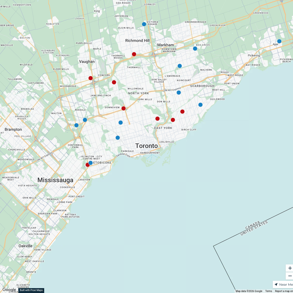
Map · 16 places · Toronto, Ontario
Toronto Transit Map
A detailed map focusing on the public transit network in Toronto, showcasing subway lines, streetcars, and bus routes, along with major transit hubs and connections.
Made with ProxiUpdated Mar 2025
- Transit Hubs 9
- Accessibility Locations 3
- Subway Stations 3
- Public Transit 1
Places on This Map
16 places · 4 groupsNearby Maps
Toronto Trick-Or-Treat-Map
49 stops · Toronto, ON, CanadaCuriocityToronto Deliveries Map
25 stops · Toronto, ON, Canada dispatch's Workspace
Halloween Hotspots in Toronto
20 stops · Toronto, ON, Canada filipov.diogo's Workspace
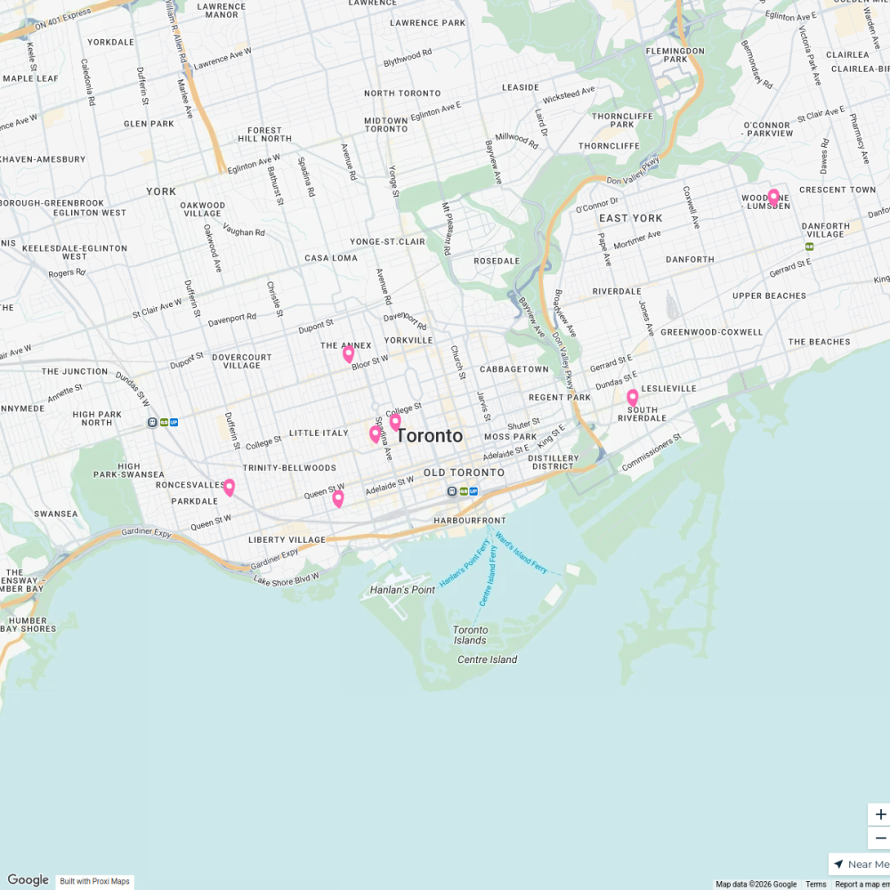
Community Fridge Locations
7 stops · Toronto, ON, Canada Community Fridge's Workspace
Toronto, Canada
93 stops · Toronto, ON, Canada Lea Di Giovanni · @leastraveldiaries
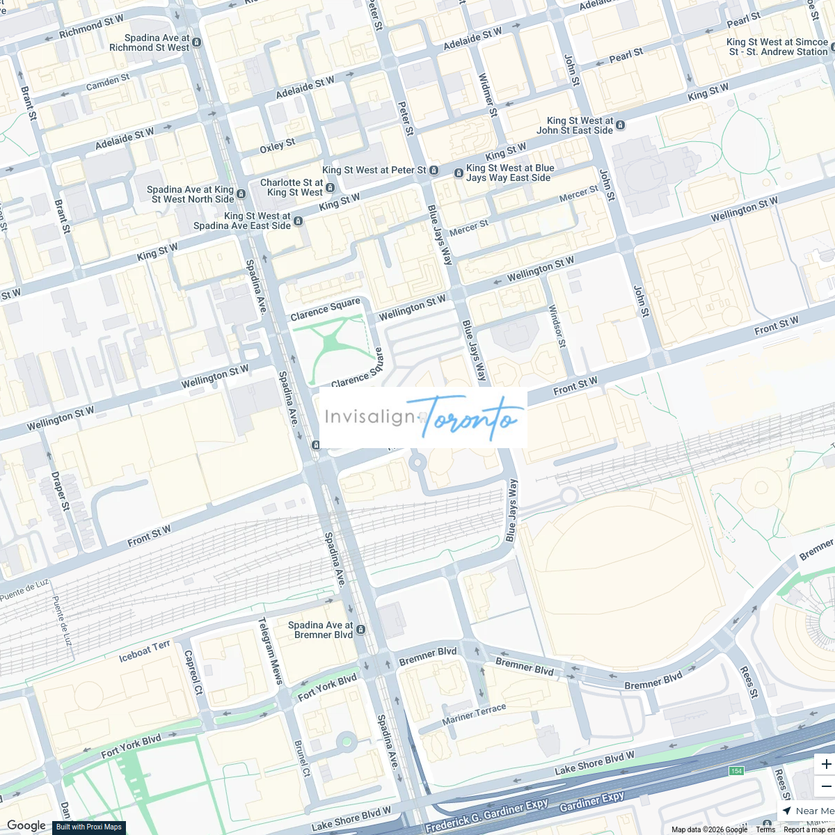
Invisalign Centers in Toronto
2 stops · 350 Front St W, Toronto, ON M5V 3W7, Canadainvisalignlawrenceave's Workspace


This map was made with Proxi
Have a main street, a market, or a story worth walking? Make your own map in a few minutes.