
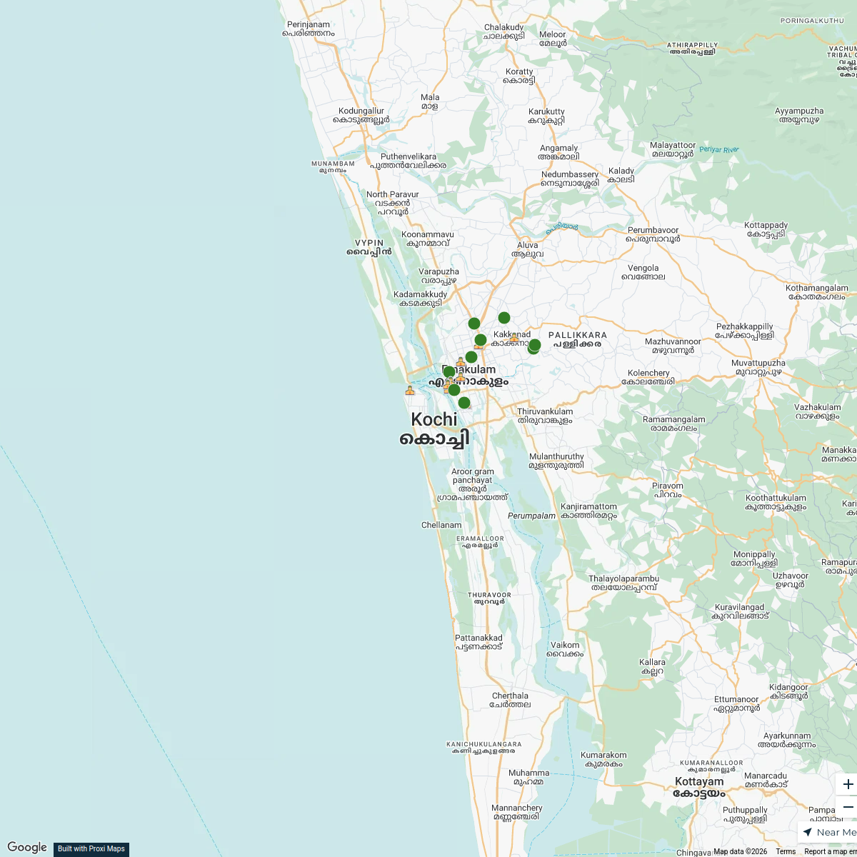
Map · 17 places
Kochi Demographics Map
A detailed map showcasing the demographic distribution and population characteristics of Kochi, Kerala, India. This map highlights areas based on various demographic factors such as population density, age distribution, gender ratio, and literacy rates.
Made with ProxiUpdated Mar 2025
- Population Density 13
- Geographical Location 4
Places on This Map
17 places · 2 groupsNearby Maps
Edapally South Village Office Map
18 stops · Kochi, Kerala, India kir thana's Workspace
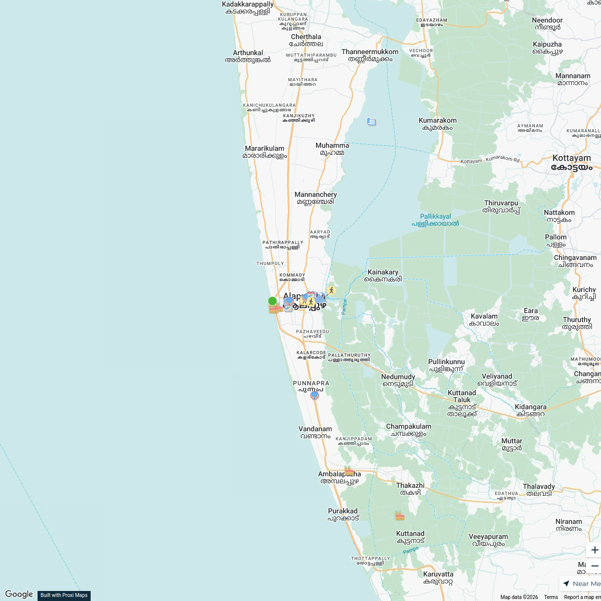
Canal Edge Masterplan - Alappuzha
25 stops · Alappuzha, Kerala, India Sajjad Badusha 2230300171's Workspace
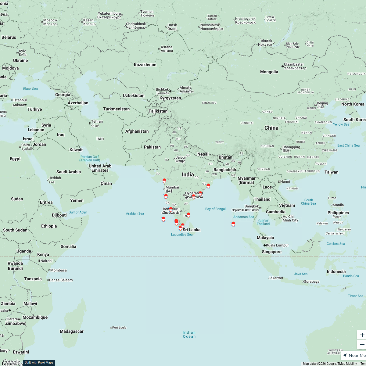
Coastal Fishing Communities of India
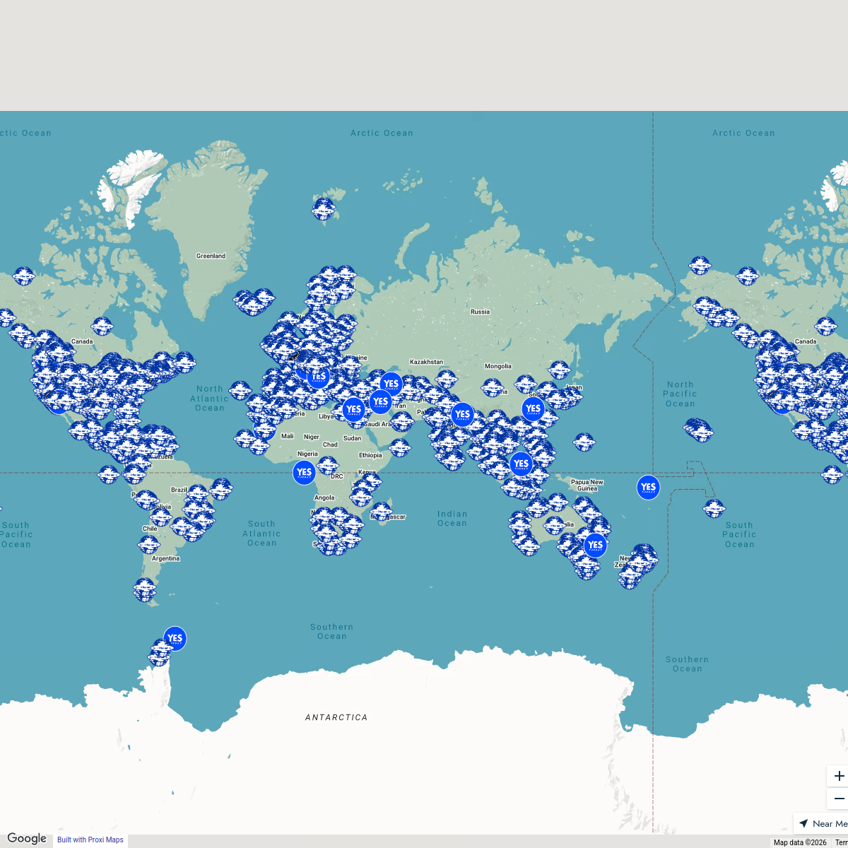
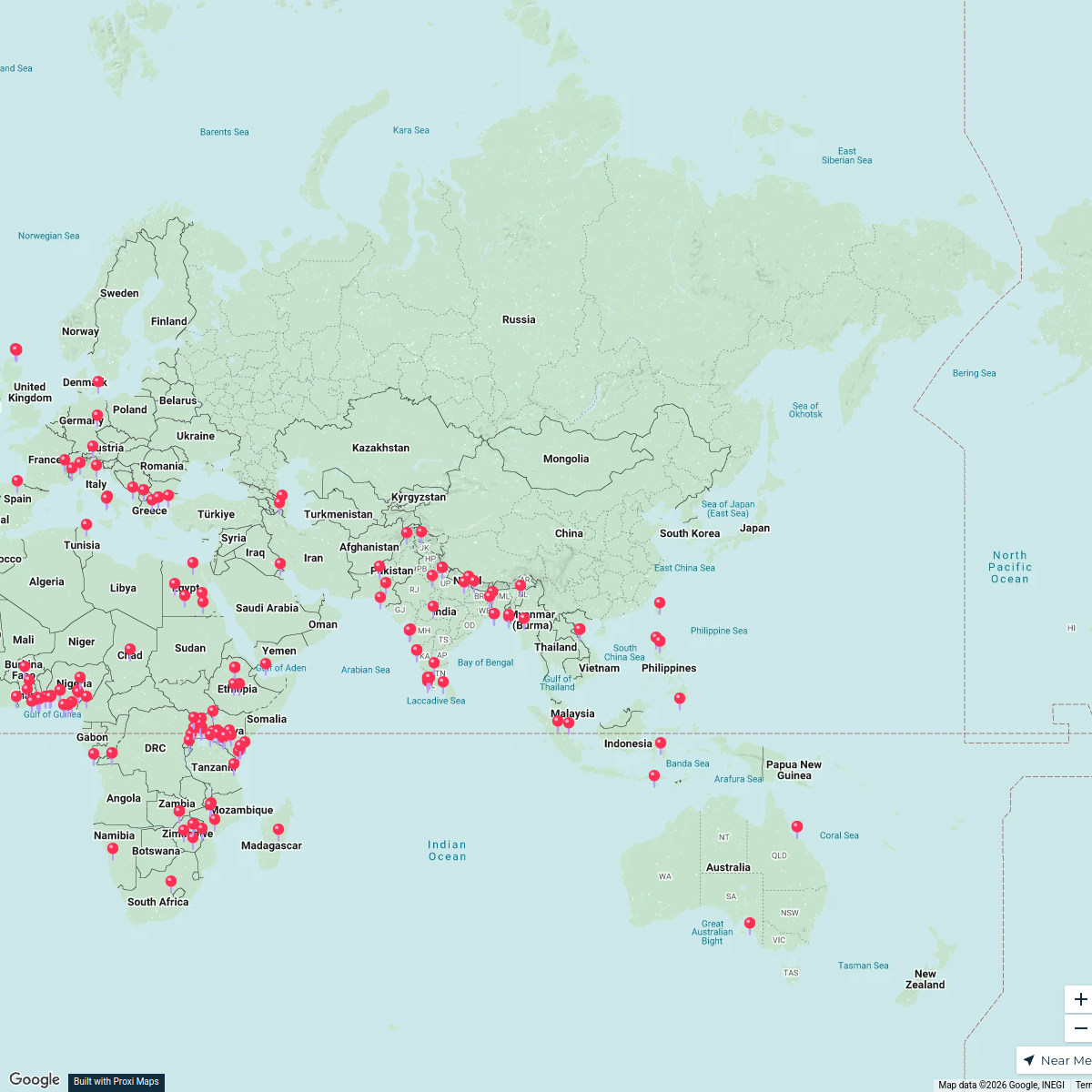
13 stops · IndiaAnoushka Sharma's WorkspaceSeek Discomfort Adventure Map
974 stops Seek Discomfort's Adventure Map
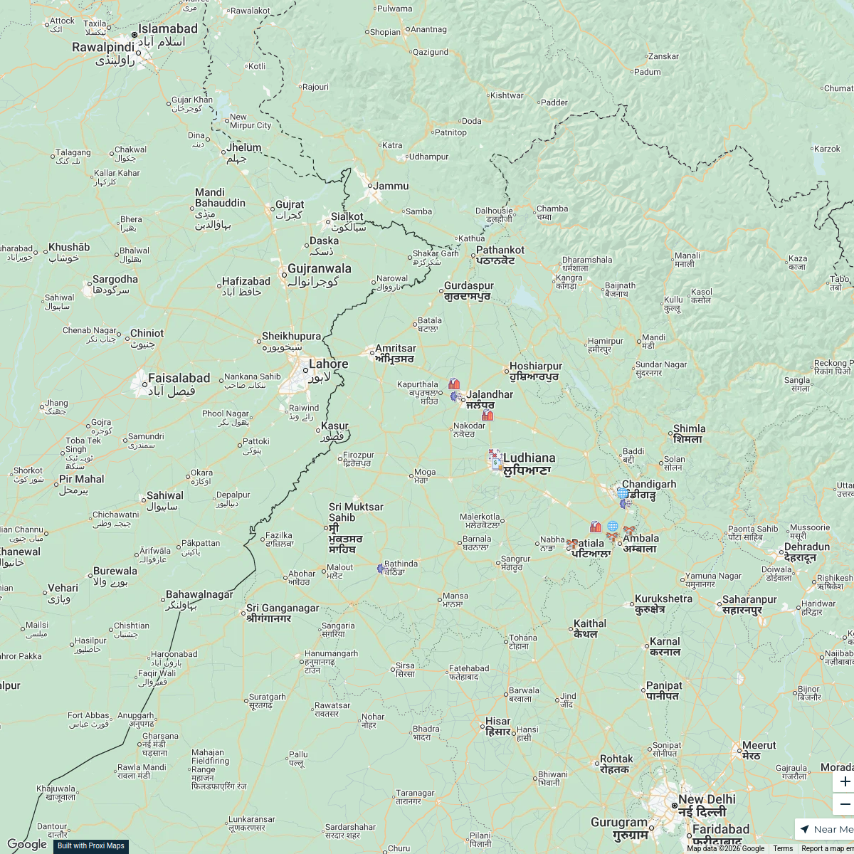
Industrial Estates of Punjab
18 stops · Punjab, IndiaAnkit Saxena's WorkspaceGlobal Cultural Heritage
168 stops · AsiaSania Irfan's Workspace
This map was made with Proxi
Have a main street, a market, or a story worth walking? Make your own map in a few minutes.