
Map · 26 places
Food Insecurity in Kingston, ON
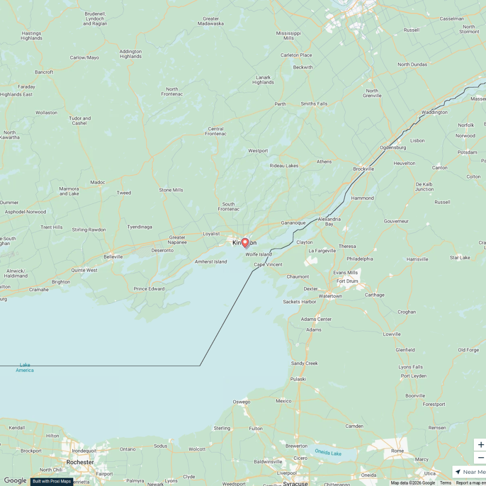
A detailed map illustrating areas affected by food insecurity in Kingston, Ontario, highlighting resources such as food banks, community gardens, and support services for those in need.
Made with ProxiUpdated Mar 2025
- Grocery Stores 12
- Support Services 4
- Food Banks 3
- Community Gardens 2
- Health Clinics 2
- Bus Routes 1
Places on This Map
26 places · 6 groupsNearby Maps
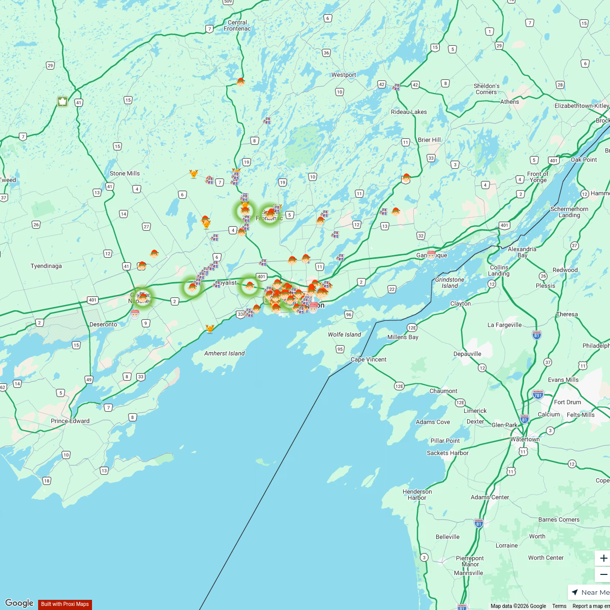
Kiwanis Christmas Lights Map
17 stops · Kingston, ON, Canada stewy83's Workspace
🎄 Kingston & Area Holiday Decor Map 🎄
159 stops · Kingston, ON, CanadaKingston Mom Group's WorkspaceThis is one of the best & most unmissable things to do in Kingston
7 stops Chelsey's Proxi Workspace
This is one of the best & most unmissable things to do in Kingston
7 stops · Kingston, Ontario, Canada Mel's Workspace
This is one of the best & most unmissable things to do in Kingston
7 stops · Kingston, ON, CanadaMel's WorkspaceThis is one of the best & most unmissable things to do in Kingston
7 stops · Kingston, ON, CanadaMel's Workspace


This map was made with Proxi
Have a main street, a market, or a story worth walking? Make your own map in a few minutes.