
Map · 16 places
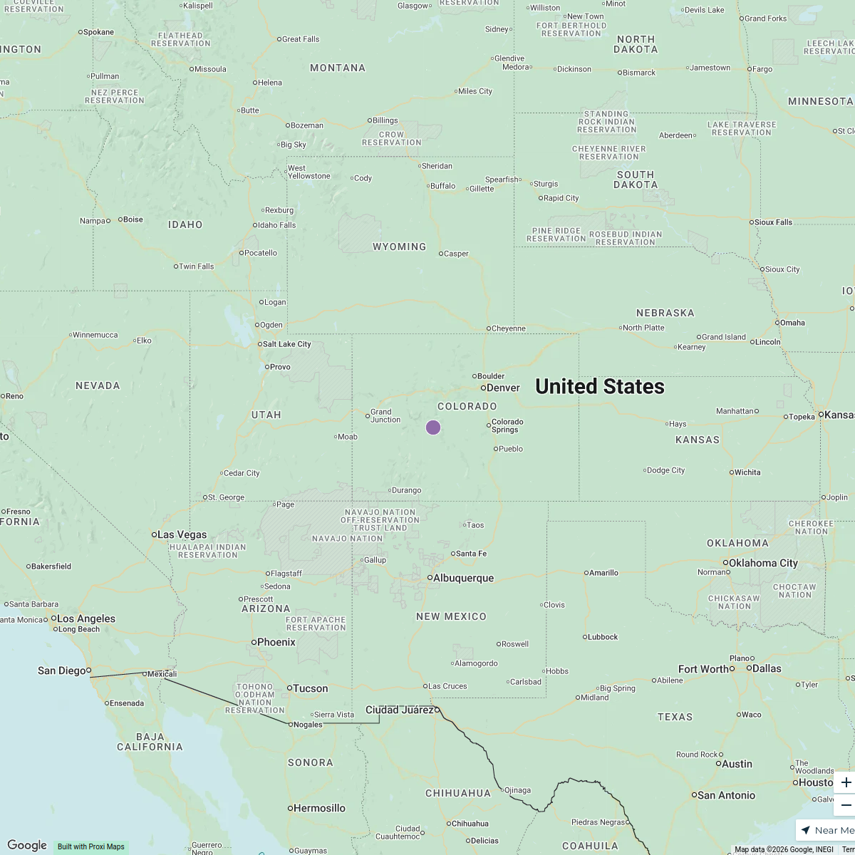
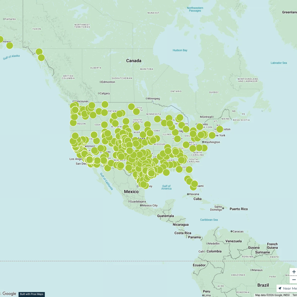
Population Distribution Map of the US
A map displaying the distribution of population across the states of the United States, with 5000 pins representing population density in each state.
Made with ProxiUpdated Mar 2025
- State 16
Places on This Map
16 places · 1 groupNearby Maps
Shipyards in the USA
15 stops · United States Joshua DiPietro's Workspace
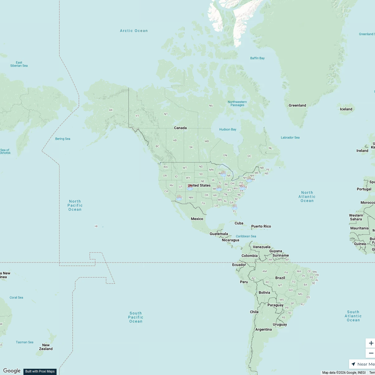
U.S. Catholic Shrines
10 stops · USA, United States yj627's Workspace
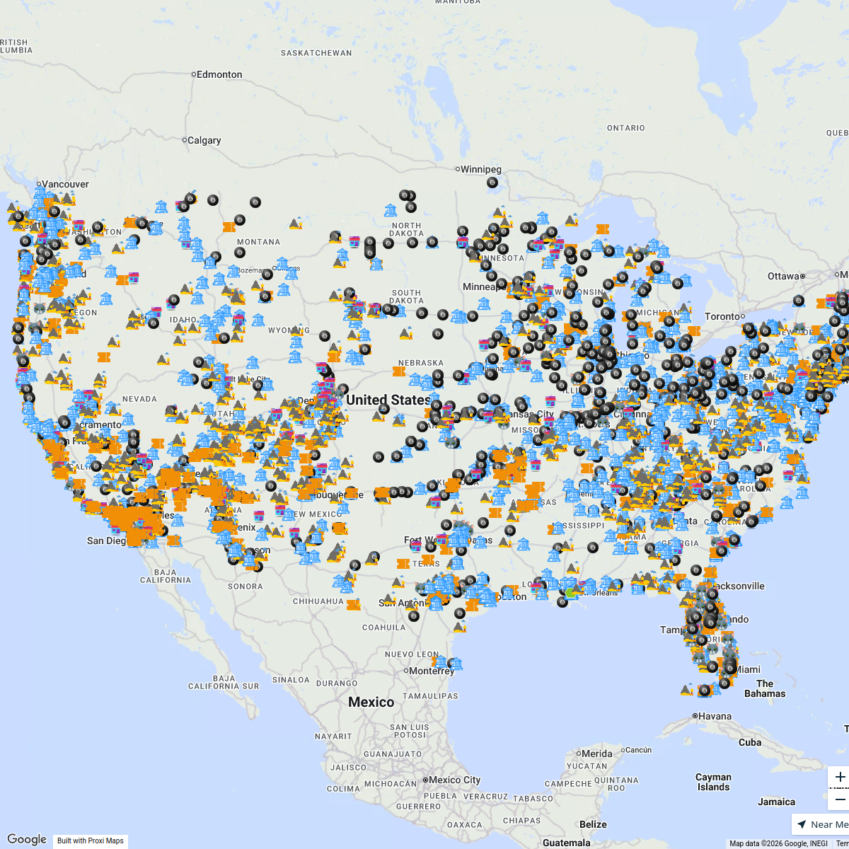
After tapping CLICK TO INTERACT ...
4353 stops Bucketlist Navigator
Element Environmental
1 stopinfo's WorkspaceFlexFactor Program Directory
177 stops NextFlex EWD
CML Project Map
1301 stops · United States Andrea Lucero 's Workspace
This map was made with Proxi
Have a main street, a market, or a story worth walking? Make your own map in a few minutes.