
Map · 16 places
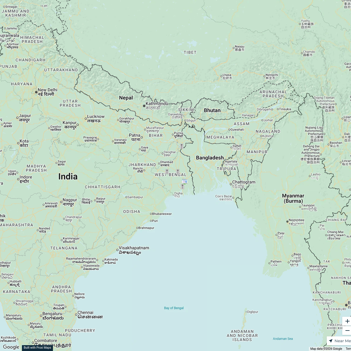
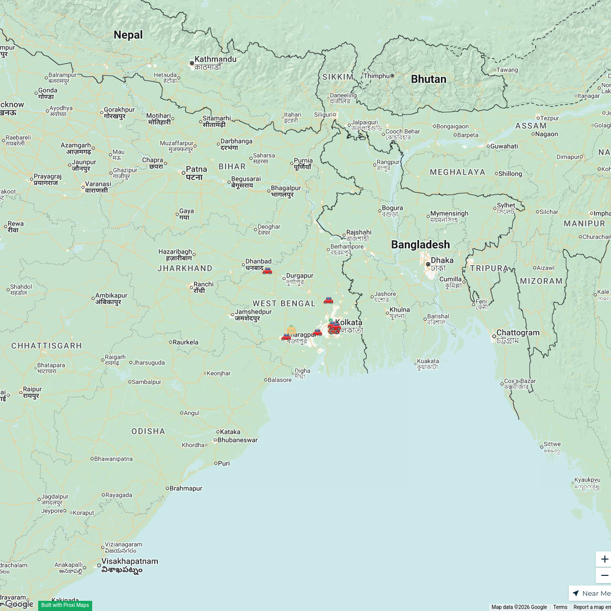
Tamluk Transport Map
A detailed map showcasing the various transportation options available in Tamluk, West Bengal, India, including roads, public transport routes, and major transport hubs.
Made with ProxiUpdated Mar 2025
- Bus Stops 6
- Train Stations 3
- Airports 2
- Public Transport 2
- Taxi Services 2
- Road Networks 1
Places on This Map
16 places · 6 groupsNearby Maps
Thalassaemia Control Units in West Bengal
9 stops · West Bengal, India Samik Samaddar's Workspace
West Bengal Dealer Map
21 stops · West Bengal, India Ratnagiri Impex's Workspace
Community Map
Rupnarayan River Study Area
27 stops · Rupnarayan River, West BengalShared by the Proxi communityCommunity Map
educationalcommercial residential industrial areas near kolaghat west bengal india
6 stops · Kolaghat, West Bengal, IndiaShared by the Proxi communityCommunity Map
schools colleges near kolaghat west bengal india
6 stops · Kolaghat, West Bengal, IndiaShared by the Proxi community Community Map
YouTube vlogging near Falta west bengal
9 stops · Falta, West Bengal 743504, IndiaShared by the Proxi community
This map was made with Proxi
Have a main street, a market, or a story worth walking? Make your own map in a few minutes.