
Map · 18 places
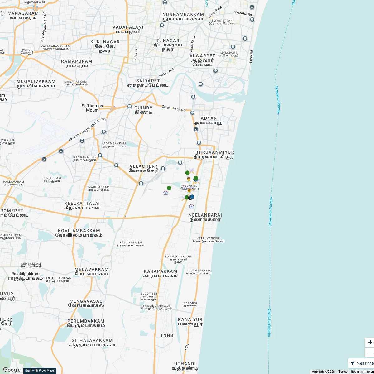
Kottivakkam Community Map
A detailed map highlighting key locations in Kottivakkam, Chennai including hospitals, schools, commercial sectors, industrial areas, residential neighborhoods, malls, and supermarkets.
Made with ProxiUpdated Mar 2025
- Education 3
- Healthcare 3
- Industrial 3
- Residential 3
- Shopping Malls 3
- Supermarkets 3
Places on This Map
18 places · 6 groupsNearby Maps
OMR Branch Catchment Map
17 stops · Perungudi, Chennai, Tamil Nadu, India a_mprabhu's Workspace
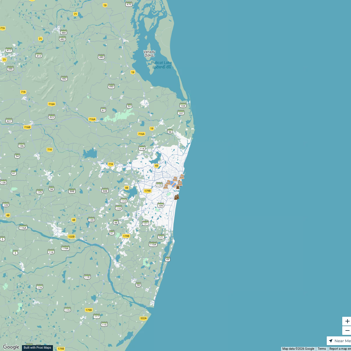
Historical Temples of Chennai
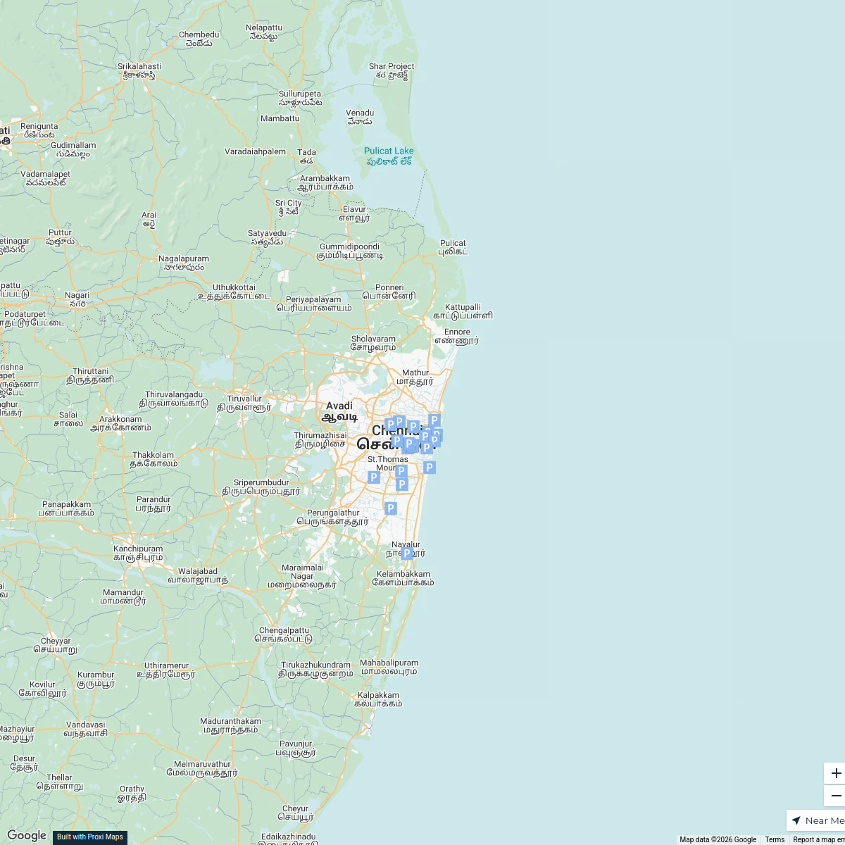
18 stops · Chennai, Tamil Nadu, Indiagokulnathchandrakumar's WorkspaceChennai Parking Spots
25 stops · Chennai, Tamil Nadu, India Aidaaan's Workspace
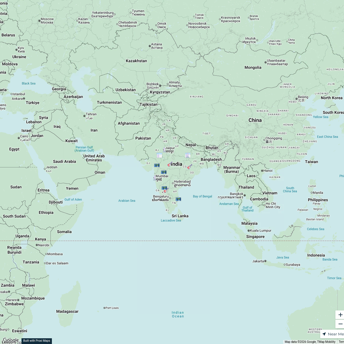
Prehistoric Sites in India
16 stops · IndiaB_2_B Artistry's Workspace- 37 stopsSubrat Ray's Workspace
Pin Your Heart
425 stops · Europe Voluson Performance
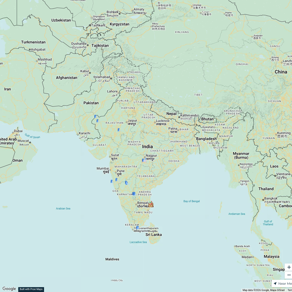

This map was made with Proxi
Have a main street, a market, or a story worth walking? Make your own map in a few minutes.