
Map · 26 places
Katherine Region Community Map
A comprehensive map of the Katherine region in Northern Territory, Australia, highlighting community boundaries, key infrastructure such as roads, bridges, hospitals, schools, and power plants, as well as land use (residential, commercial, agricultural) and topographical features including elevation and slopes. It also indicates hazard-prone areas relevant to the local community.
Made with ProxiUpdated Mar 2025
- Community Boundaries 11
- Key Infrastructure 9
- Land Use 4
- Hazard-Prone Areas 1
- Topography 1
Places on This Map
26 places · 5 groupsNearby Maps
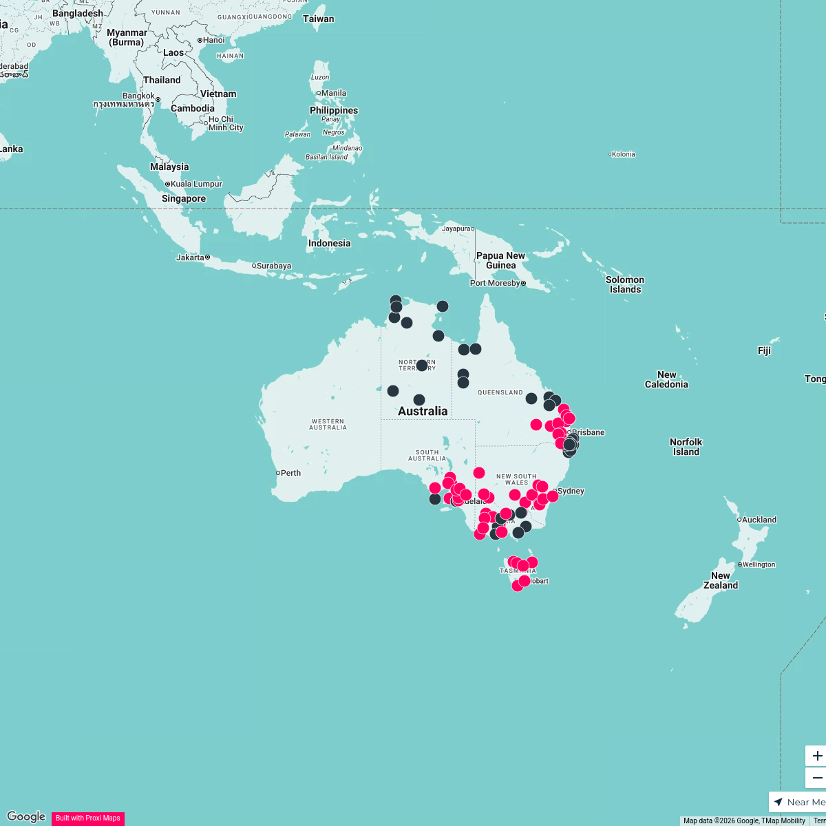
E4 Job Locations in Australia - Aged Care + Remote
97 stops · Australia Stephen Poleweski's Workspace
Seek Discomfort Adventure Map
974 stops Seek Discomfort's Adventure Map
Community Map
Northern Territory Attractions
15 stops · Northern Territory, AustraliaShared by the Proxi communityCommunity Map
Multi Stop Adventure in Australia
25 stops · AustraliaShared by the Proxi communityCommunity Map
Australia Travel Destinations
15 stops · AustraliaShared by the Proxi communityCommunity Map
My Work History in Australia
25 stops · AustraliaShared by the Proxi community
This map was made with Proxi
Have a main street, a market, or a story worth walking? Make your own map in a few minutes.