
Map · 13 places
Flood-Prone Areas in Roseau
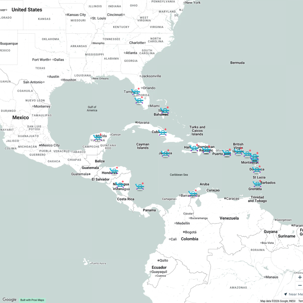
This map highlights the regions in and around Roseau, Dominica that are susceptible to flooding. It includes information on vulnerable infrastructure, historical flood events, and hydrological data to aid in disaster preparedness and response.
Made with ProxiUpdated Mar 2025
- Emergency Services 5
- Infrastructure Vulnerability 5
- Flood Zones 3
Places on This Map
13 places · 3 groupsNearby Maps
Caribbean Reconstruction
25 stops Carolina sofia Velasquez Calderon's Workspace
World Map Activity
45 stops esullivan's Workspace
Community Map
Canna Plantations of Dominica
6 stops · DominicaShared by the Proxi communityCommunity Map
Historical Sites of Piracy in Dominica
15 stops · DominicaShared by the Proxi communityCommunity Map
Nature and Attractions in Dominica
1 stop · DominicaShared by the Proxi communityCommunity Map
San Juan, Puerto Rico Charlotte Amalie, St. Thomas, U.S. Virgin Islands Philipsburg, St. Maarten Basseterre, St. Kitts and Nevis Bridgetown, Barbados Castries, St. Lucia St. John's, Antigua Pointe-a-Pitre, Guadeloupe Fort-de-France, Martinique Roseau near Bridgetown, Barbados
10 stops · Bridgetown, Saint Michael BarbadosShared by the Proxi community
This map was made with Proxi
Have a main street, a market, or a story worth walking? Make your own map in a few minutes.