
Map · 13 places
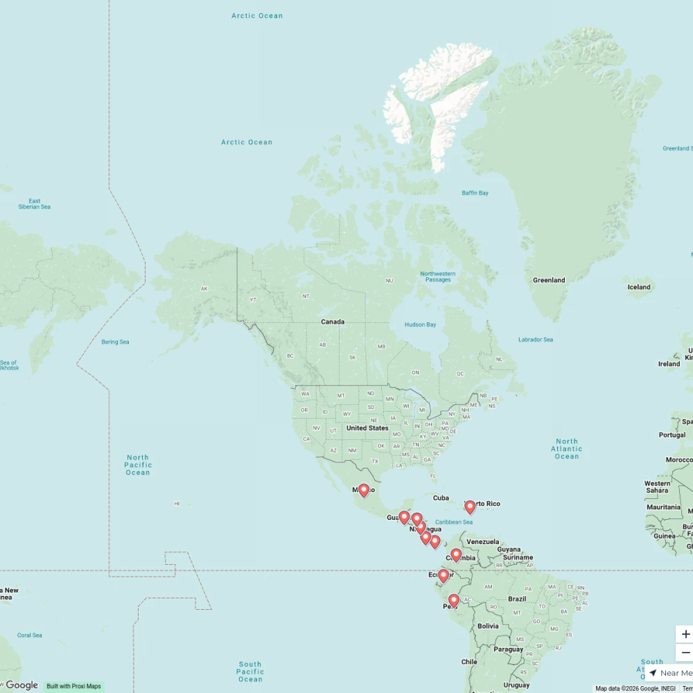
Dengue Spread in Peru
This map illustrates the areas affected by dengue outbreaks in Peru, highlighting regions with reported cases and trends over time. It serves as a valuable resource for understanding the dengue situation and planning public health responses.
Made with ProxiUpdated Mar 2025
- Pilot Districts 13
Places on This Map
13 places · 1 groupNearby Maps
Holidays Around the World
32 stops · default_map_center Tara Allen's Workspace
Shannon's Bucket List, USA
60 stops · United States Shannon Kelly's Workspace
Cultural Harmony Week 2025 - USA
52 stops · USA, United StatesChristina Sama's Workspaceplaces with the lowest cost of living near canada
10 stops · Canada Mel's Workspace
Worldwide Travel & Projects
46 stopsDesiree Cordova's WorkspaceInternational Relations in Madrid
25 stops · Madrid, EspañaJuan David Ante Garcia's Workspace
This map was made with Proxi
Have a main street, a market, or a story worth walking? Make your own map in a few minutes.