
Map · 19 places
Elterleinplatz Neighborhood Map
A detailed map focusing on the Elterleinplatz area in the 17th district of Vienna, highlighting key locations and points of interest around Steinergasse 15 and its vicinity.
Made with ProxiUpdated Mar 2025
- Public Transport 4
- Shops 4
- Cafes 3
- Restaurants 3
- Community Services 2
- Cultural sites 2
- Parks 1
Places on This Map
19 places · 7 groupsNearby Maps
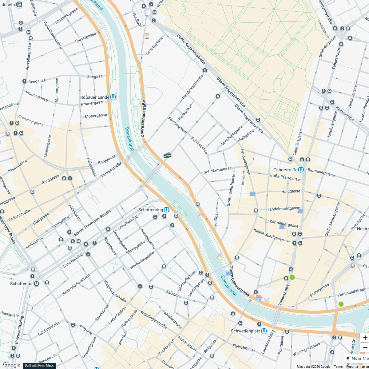
Obere Donaustraße Exploration
16 stops · Obere Donaustraße, Ob. Donaustraße, 1020 Wien, Österreich Natascha Wiesinger's Workspace
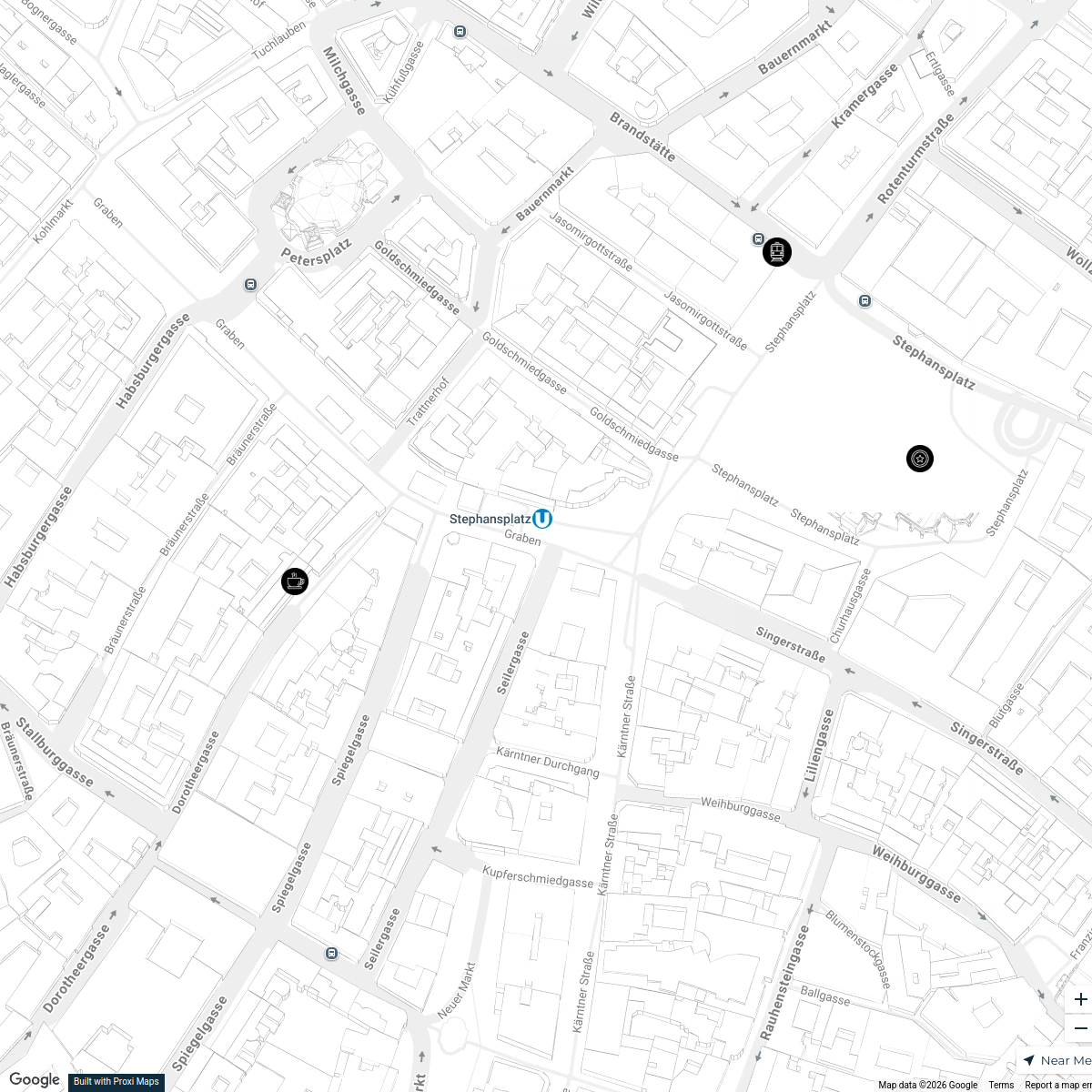
Vienna Christmas Guide
26 stops · Vienna, AustriaSebastian Wallis's WorkspaceOnline Map - 1010 Wien
29 stops · Vienna, Austria n.wiesinger's Workspace
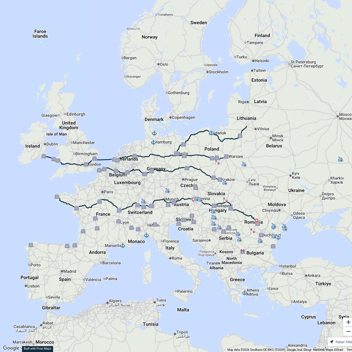
Transport Routes of Europe
114 stops nickmannersbell's Workspace
European Conferences & Events
6 stops · Europe, EuropaJohannas TeamExplore Europe
116 stops · EuropeDavid Ralita's Workspace
This map was made with Proxi
Have a main street, a market, or a story worth walking? Make your own map in a few minutes.