
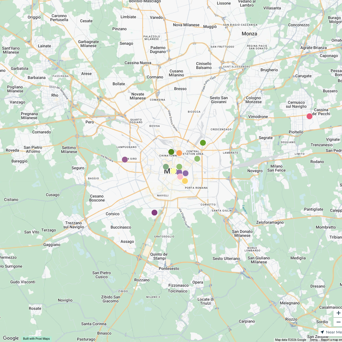
Map · 8 places
Interactive Electoral Map of Milano
This map provides an interactive view of the electoral divisions, voting districts, and key electoral data for Milano, Milano MI, Italy. Users can explore the voting results, demographic information, and more through an intuitive interface.
Made by Leone Trinchero's WorkspaceUpdated Mar 2025
- Political Parties 3
- Polling Locations 3
- Electoral Districts 2
Places on This Map
8 places · 3 groupsNearby Maps
Historical Music Sites in Milan
15 stops · Milan, Metropolitan City of Milan, Italy benedetta bellucci's Workspace
ByteDance Apartments in Milan
38 stops · Milan, Metropolitan City of Milan, Italy swing.goh's Workspace
Dealer Map
222 stops michele's Workspace
CAE Preparation Locations in Crema
14 stopsemmahaimes's WorkspacePhenomenon Nsi-nings
19 stopshello's WorkspaceUNESCO World Heritage Sites in Italy
25 stops · Italytpuleo's Workspace
This map was made with Proxi
Have a main street, a market, or a story worth walking? Make your own map in a few minutes.