
Map · 15 places
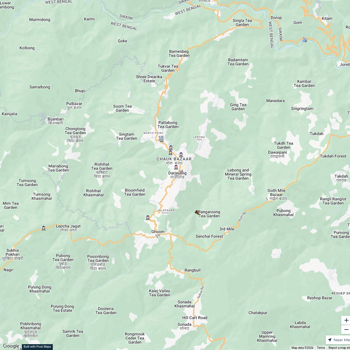
Urban Planning Map of Uttarey
A detailed urban planning base map of Uttarey, Sikkim, showcasing current infrastructure, land use, and potential development areas. This map aims to support planning interventions and decision-making processes in urban development.
Made with ProxiUpdated Mar 2025
- Cultural Sites 4
- Residential Areas 3
- Transportation 3
- Public Services 2
- Commercial Development 1
- Green Spaces 1
- Infrastructure 1
Places on This Map
15 places · 7 groupsNearby Maps
Rivers of Darjeeling
18 stops · Darjeeling, West Bengal, India Anurag Singh's Workspace
City Nature Challenge 2024 cities
714 stops ajaecker's Workspace
Community Map
Gyalshing District Administrative Centre Map
7 stopsShared by the Proxi communityCommunity Map
Sandakphu Trek Map
15 stops · Sandakphu, 57300, NepalShared by the Proxi communityCommunity Map
Sikkim Exploration Map
16 stops · Sikkim, IndiaShared by the Proxi communityCommunity Map
Sikkim Monasteries Tour
20 stops · Sikkim, IndiaShared by the Proxi community
This map was made with Proxi
Have a main street, a market, or a story worth walking? Make your own map in a few minutes.