
Map · 8 places · Toronto, Ontario
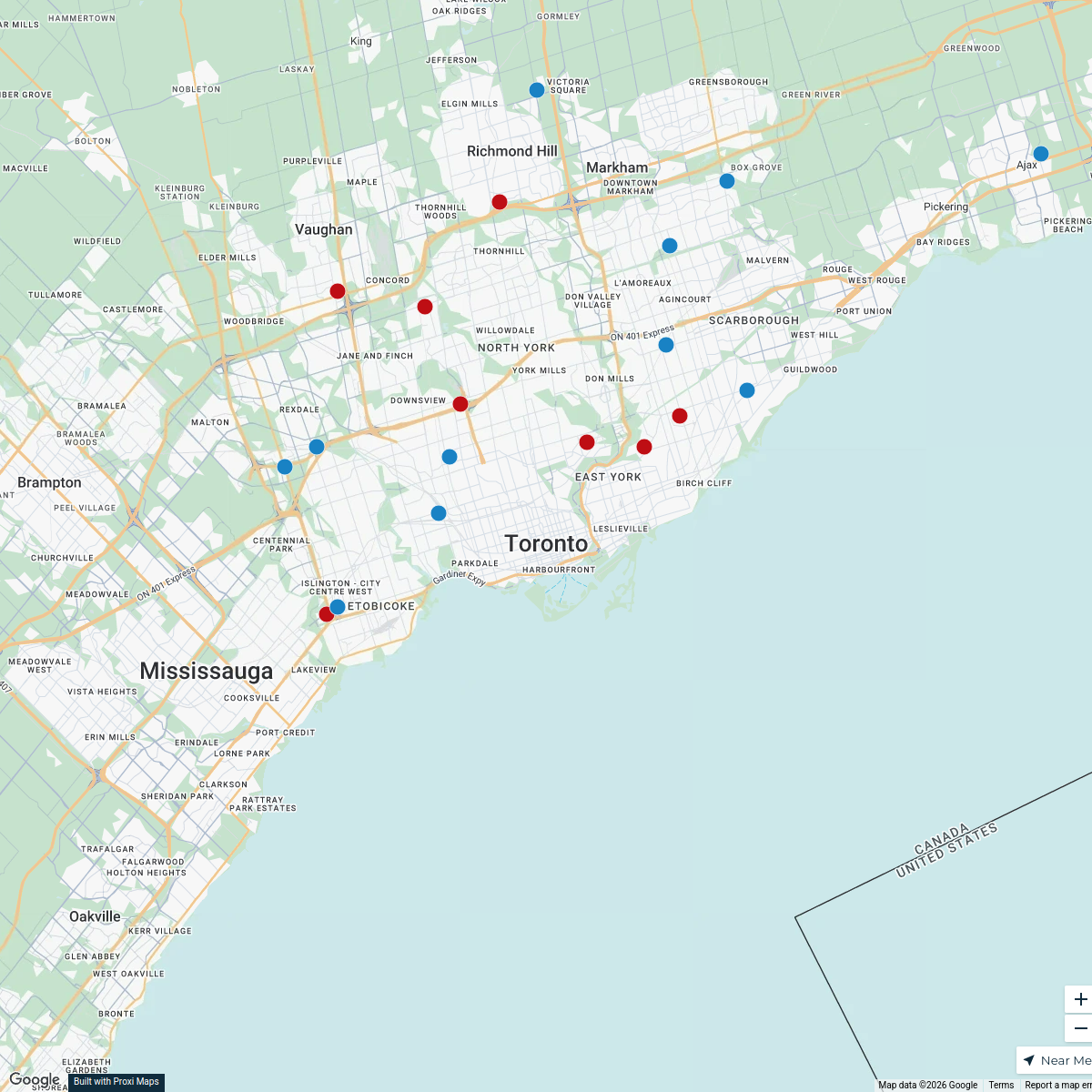
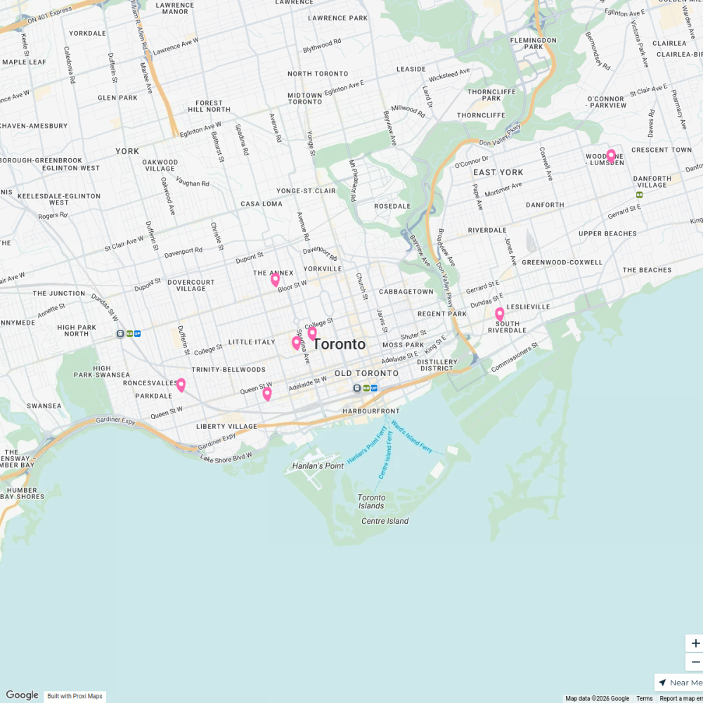
Eglinton Development Map
A map highlighting key locations and amenities near the Eglinton Junior Public School development site.
Made with ProxiUpdated Mar 2025
- Park 2
- Transit Station 2
- Library 1
- Shopping Centre 1
- Train station 1
Places on This Map
8 places · 5 groupsNearby Maps
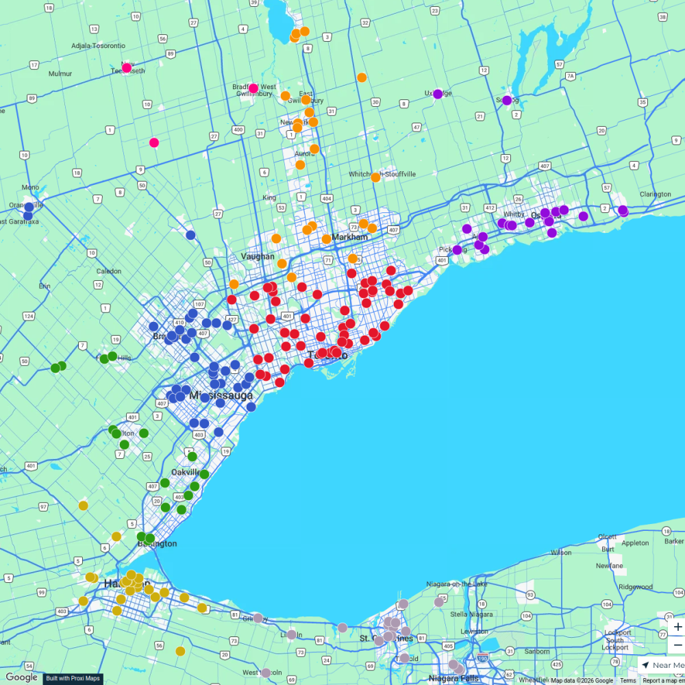
Ontario Food Banks
500 stops Ameen Ahmed's Workspace
Toronto Trick-Or-Treat-Map
49 stops · Toronto, ON, CanadaCuriocityToronto Deliveries Map
25 stops · Toronto, ON, Canada dispatch's Workspace
Halloween Houses in Toronto
20 stops · Toronto, ON, Canada filipov.diogo's Workspace
Halloween Hotspots in Toronto
20 stops · Toronto, ON, Canadafilipov.diogo's WorkspaceCommunity Fridge Locations
7 stops · Toronto, ON, Canada Community Fridge's Workspace

This map was made with Proxi
Have a main street, a market, or a story worth walking? Make your own map in a few minutes.