
Map · 13 places
Great Lakes Trade Routes and Alliances
This map illustrates the historical trade routes and alliances in the Great Lakes region, highlighting Native American trade networks and the influence of European colonization. It also examines how these pathways facilitated cultural exchanges, resource distribution, and strategic military alliances during conflicts. The map serves as a guide to understanding the complex interactions between Indigenous peoples and European settlers, as well as the economic significance of trade in shaping the region's history.
Made with ProxiUpdated Mar 2025
- Cultural Exchange Centers 7
- Resource Distribution Points 4
- Alliances 2
Places on This Map
13 places · 3 groupsNearby Maps
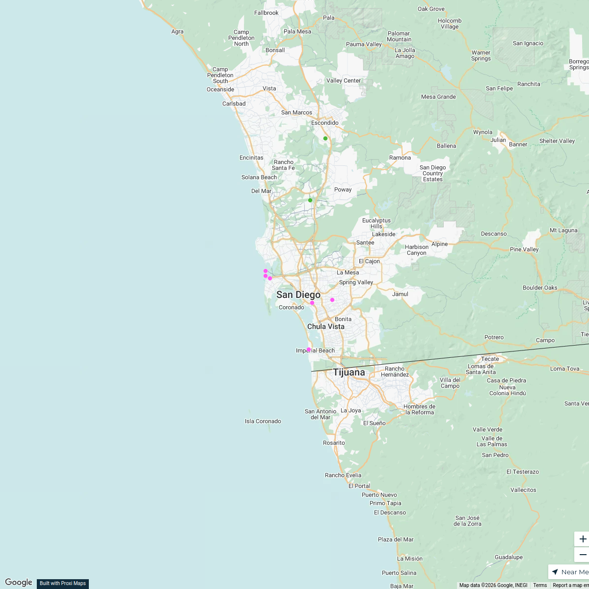
LOVE Campaign SD Map
9 stops · San Diego, CA, USA leslie.padgett's Workspace
San Diego Property Management
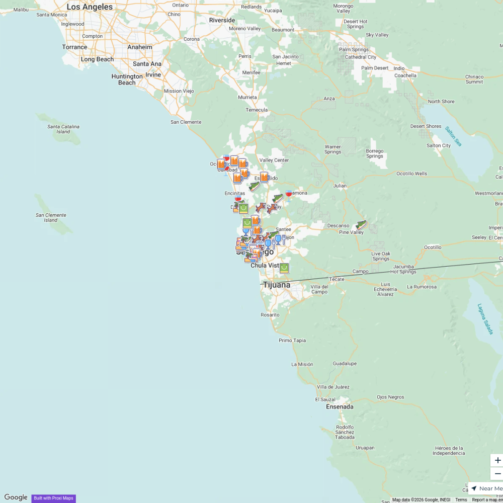
1 stop · San Diego, CA, USAbethalmoore's WorkspaceDog-friendly places in San Diego
55 stops · San Diego, CA, USA SDtoday

hotels near san diego
28 stops · San Diego, CA, USAAndrew Swinney's Workspace
tourist attractions near san diego
25 stops · San Diego, CA, USAAndrew Swinney's Workspace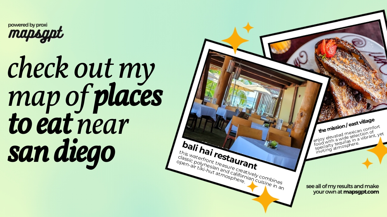
places to eat near san diego
27 stops · San Diego, CA, USAAndrew Swinney's Workspace
This map was made with Proxi
Have a main street, a market, or a story worth walking? Make your own map in a few minutes.