
Map · 16 places
Land Usage in Kista
A detailed map showcasing various land usage types in Kista, Stockholm, highlighting residential, commercial, industrial, and recreational areas.
Made with ProxiUpdated Mar 2025
- Commercial Zones 5
- Educational Institutions 3
- Industrial Sites 2
- Parks and Recreational Areas 2
- Residential Areas 2
- Transportation Hubs 2
Places on This Map
16 places · 6 groupsNearby Maps
Sollentuna Area Map
21 stops · Sollentuna, Sweden LK
Vasea Sprint Triathlon
9 stops Emil Franzén's Workspace
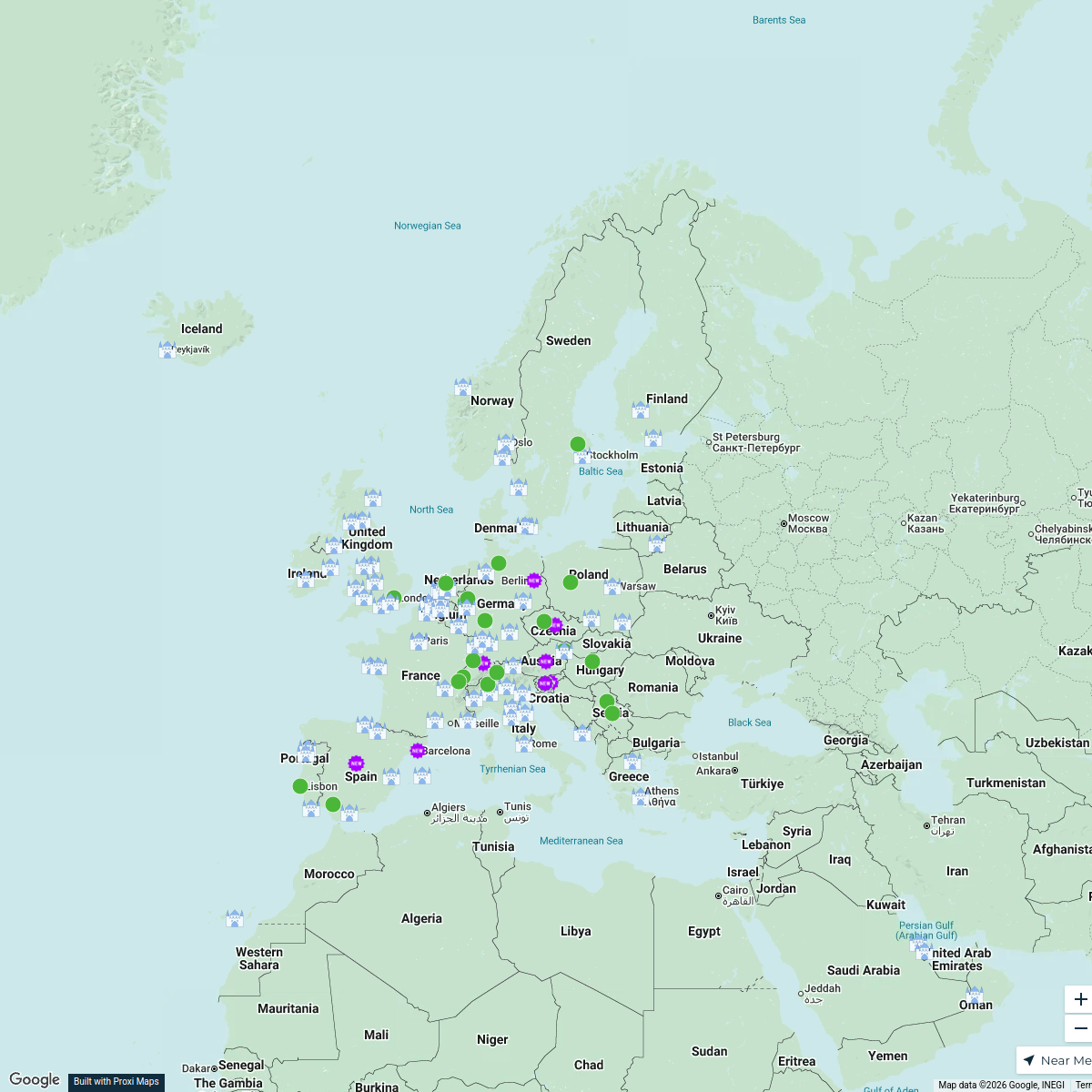
Explore Europe
116 stops · EuropeDavid Ralita's WorkspaceCluditos por el Mundo
20 stopsjonbanales1's WorkspaceMap
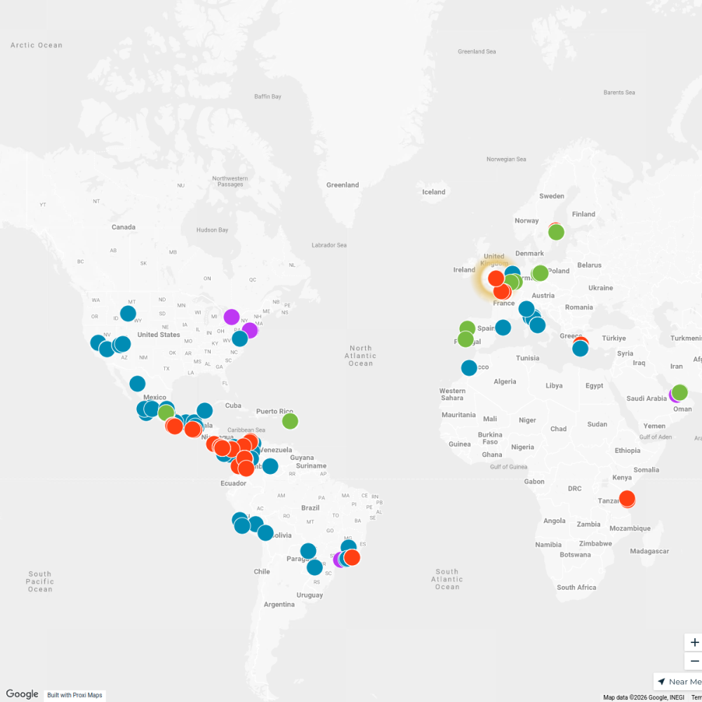
683 stopsSophia's WorkspaceSeek Discomfort Adventure Map
974 stops Seek Discomfort's Adventure Map

This map was made with Proxi
Have a main street, a market, or a story worth walking? Make your own map in a few minutes.