
Map · 25 places
Green Valley
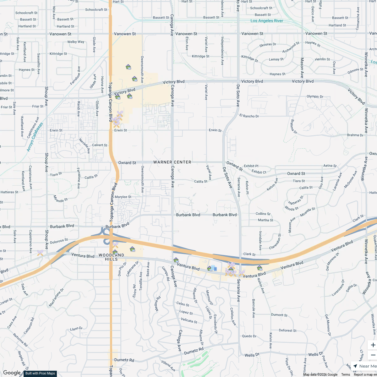
A detailed map of Green Valley designed around the Sector Model, featuring distinct sectors for residential, industrial, and commercial areas, with a focus on sustainability and livability. This map highlights various zones including a Central Business District, parks, and transportation routes that create a connected urban environment.
Made by Keilianys Rodriguez's WorkspaceUpdated Mar 2025
- High-Income Housing 5
- Green Spaces 4
- Consumer Services 3
- Central Business District 2
- Public Services 2
- restaurants 2
- Transportation Routes 2
- Bank 1
- Emergency Cares 1
- Industrial Zone 1
- Market Areas 1
- Medium-Income Housing 1
Places on This Map
25 places · 12 groupsNearby Maps
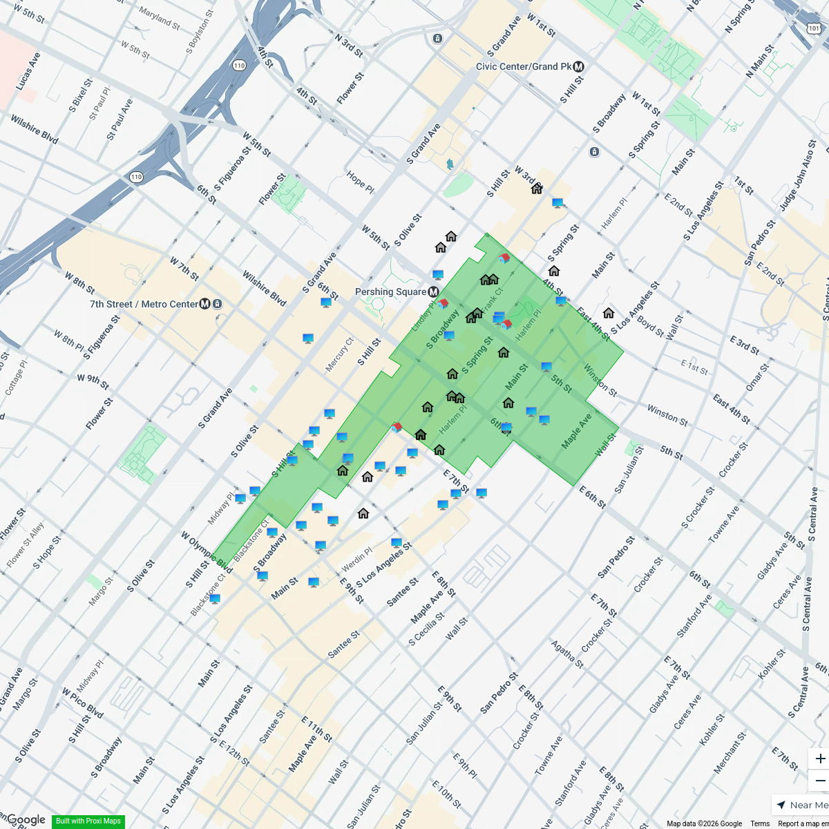
Historic Core Properties
64 stops Sarah Kales's Workspace
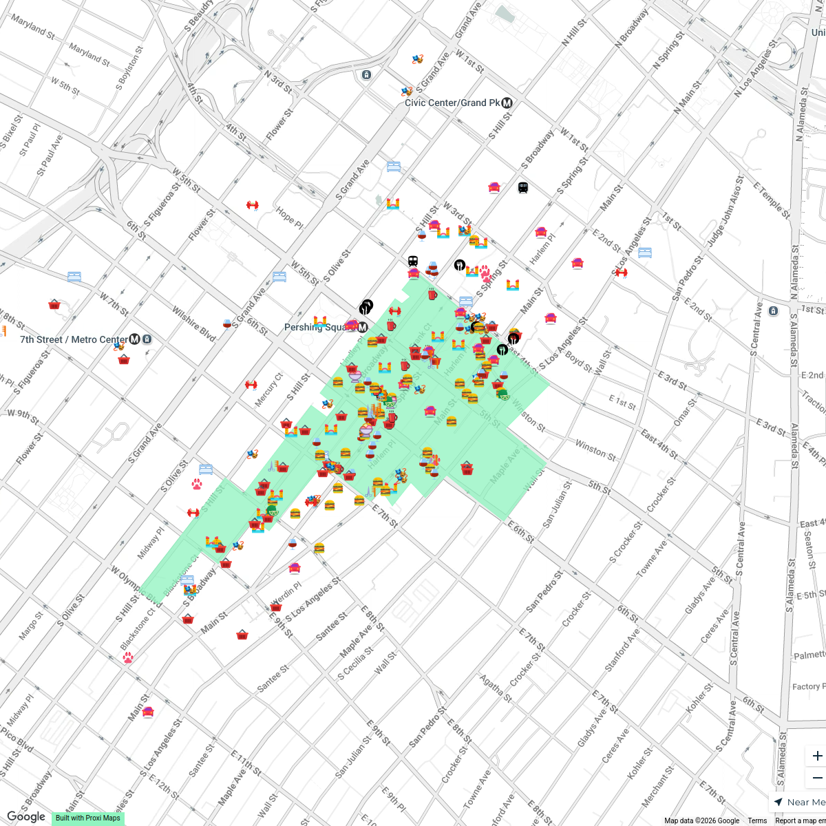
Historic Core
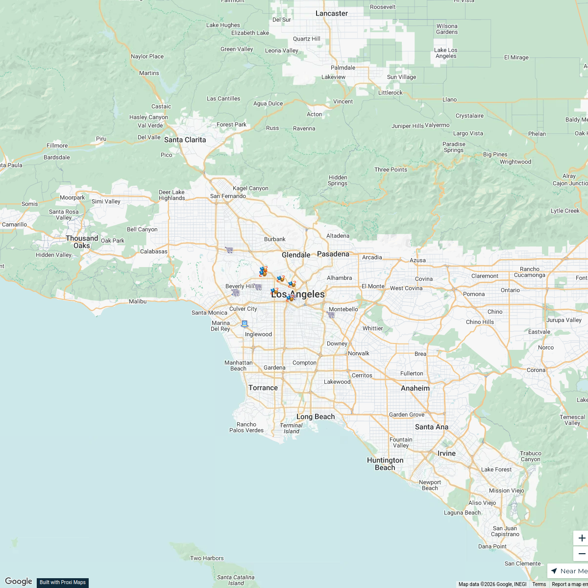
212 stopsSarah Kales's WorkspaceLos Angeles Malls Map
20 stops · Los Angeles, CA, USA Sergios Sgoutas-Dosios's Workspace
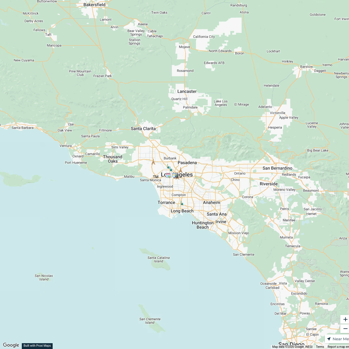
19th Century South Africa and Los Angeles
17 stops · Los Angeles, CA, USALeon Figgins's WorkspaceStores Nearby
25 stops drmoersch's Workspace
2026 Pasadena Wellness Crawl Businesses
11 stopsYogaSix Pasadena

This map was made with Proxi
Have a main street, a market, or a story worth walking? Make your own map in a few minutes.