
Map · 18 places
Geography of East London, South Africa
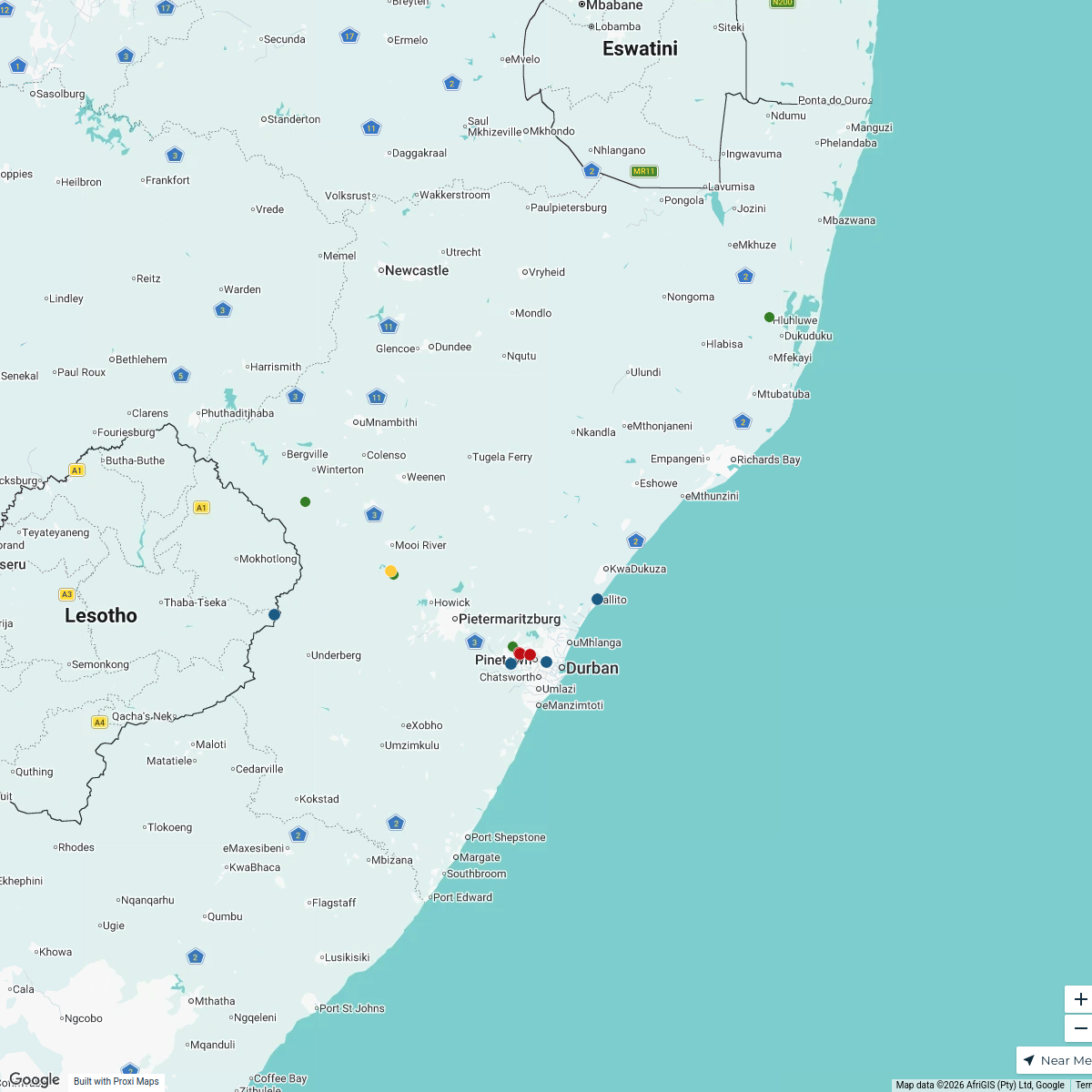
A basic map illustrating the geographic layout and key features of East London, South Africa, highlighting its coastal position, river systems, and urban areas.
Made with ProxiUpdated Mar 2025
- Historical Sites 4
- Cultural Landmarks 3
- Natural Features 3
- Recreation Areas 3
- Transportation 3
- Urban Areas 2
Places on This Map
18 places · 6 groupsNearby Maps

Lekker Passport Map
577 stops Lekker Passport
South Africa Beer Passport 2024/2025
17 stops Holger Meier (Beer Troopy)'s Workspace

Coffee Map
130 stops · South AfricaLekker Passport
Beer Passport 2024/2025
120 stopsLekker PassportExplore the world with TRAVEL360
17 stops Test Team

Beer Passport Map
357 stopsLekker Passport
This map was made with Proxi
Have a main street, a market, or a story worth walking? Make your own map in a few minutes.