
Map · 27 places
Placer County Safety Resources
A comprehensive map featuring safety resources available throughout Placer County, California, including locations of emergency services, shelters, and community resources.
Made with ProxiUpdated Mar 2025
- Fire Departments 13
- Emergency Services 3
- Shelters 3
- Community Centers 2
- Hospitals 2
- Police Stations 2
- Urgent Care 2
Places on This Map
27 places · 7 groupsNearby Maps
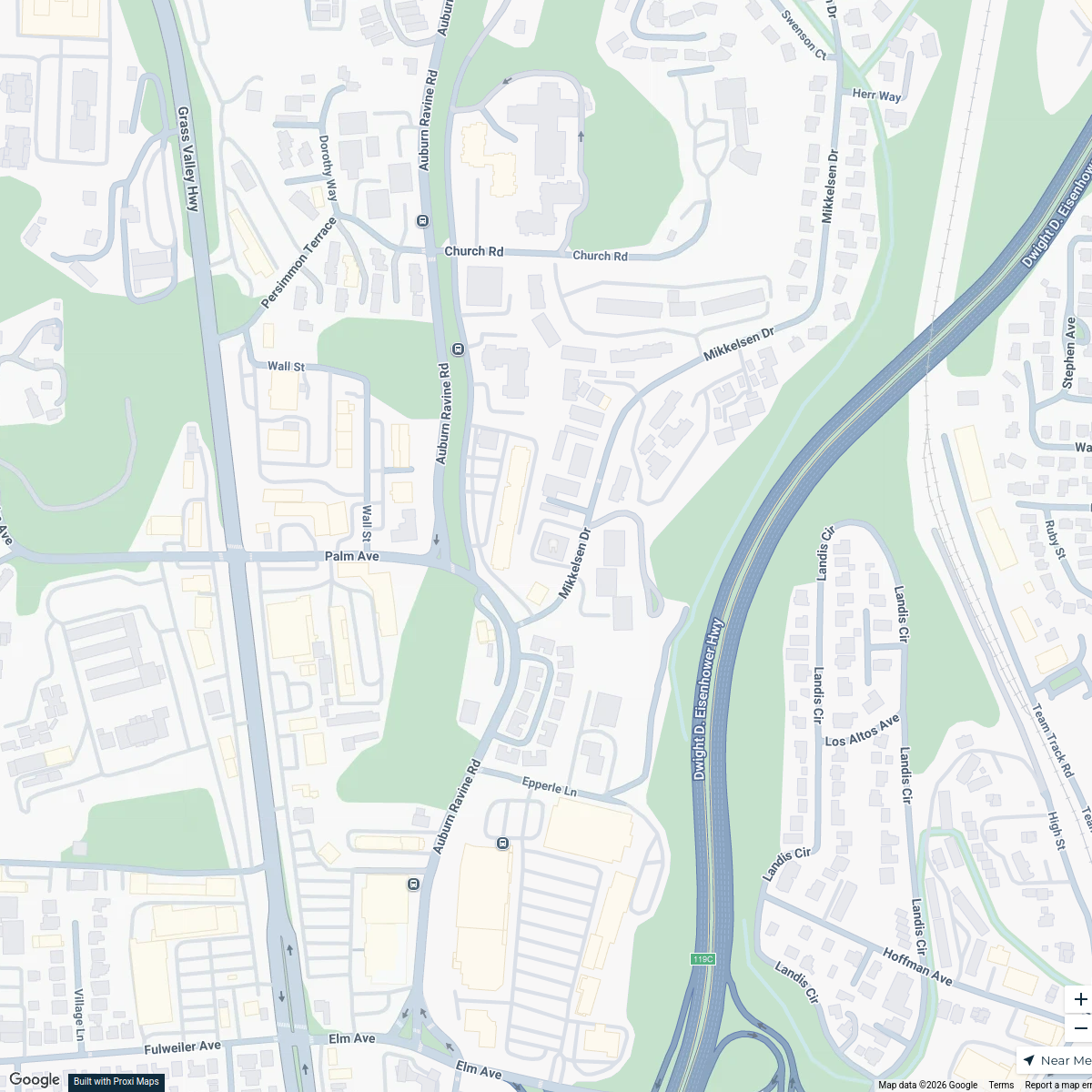
Auburn Dental Services Map
1 stop · 635 Mikkelsen Dr, Auburn, CA 95603, USA Pier 210 Dental Group

chill vibes in south lake tahoe
6 stops · South Lake Tahoe, CA 96150, USA Mel's Workspace
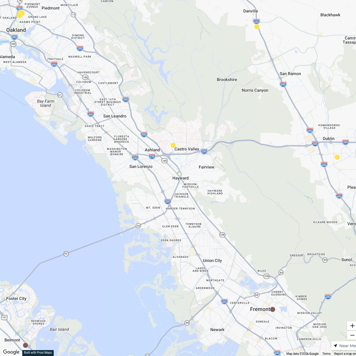
Patient Services Center Expansion
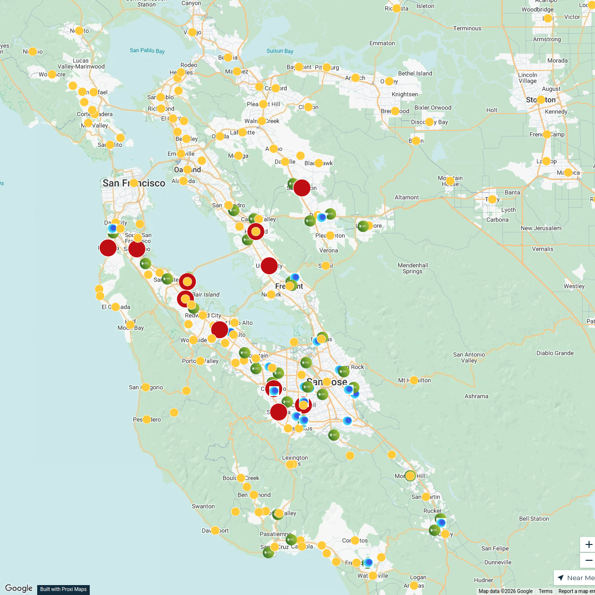
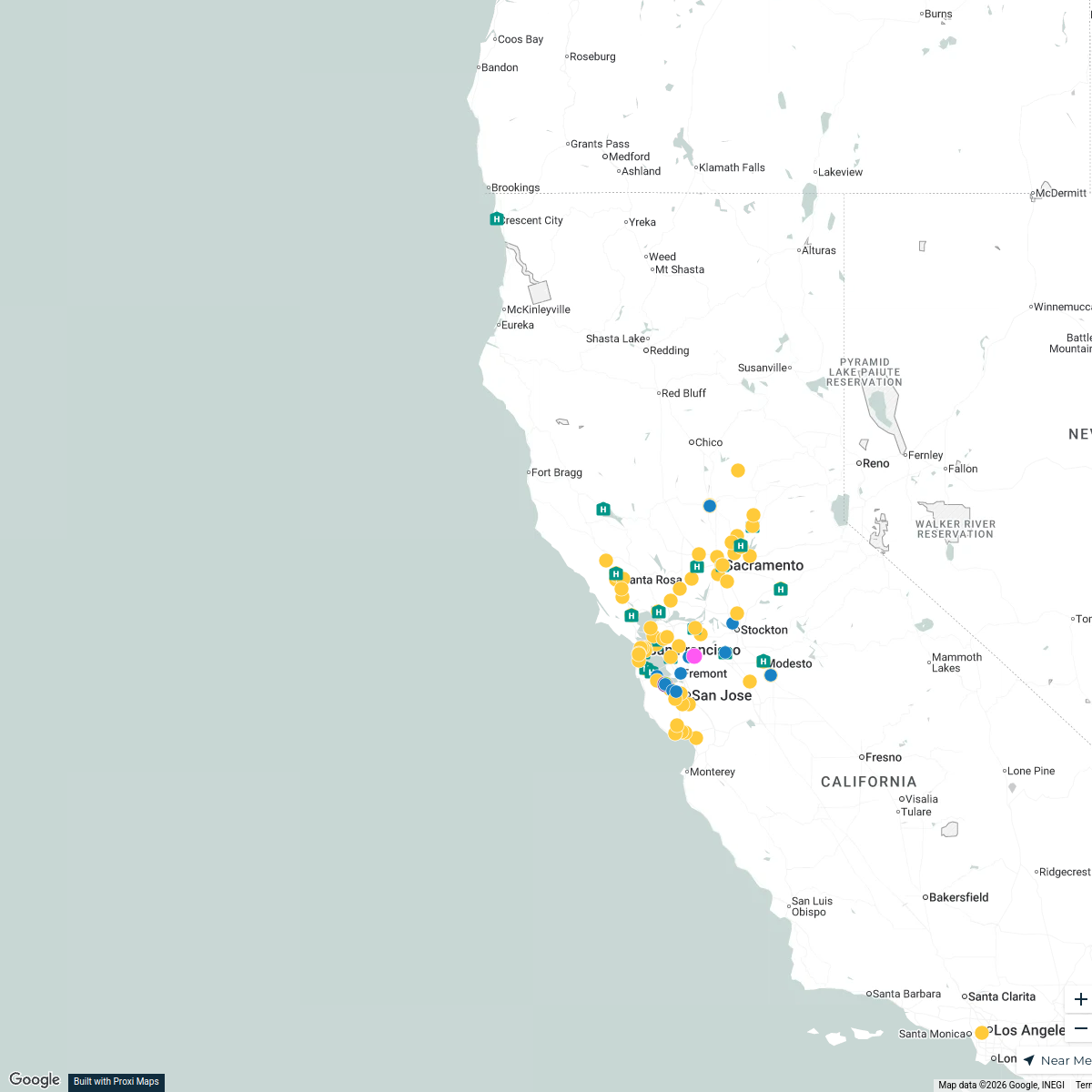
112 stops · Hayward, CA, USA liz.leroux's Workspace
PLNU SOE Map
268 stops Jennifer Kritsch's Workspace
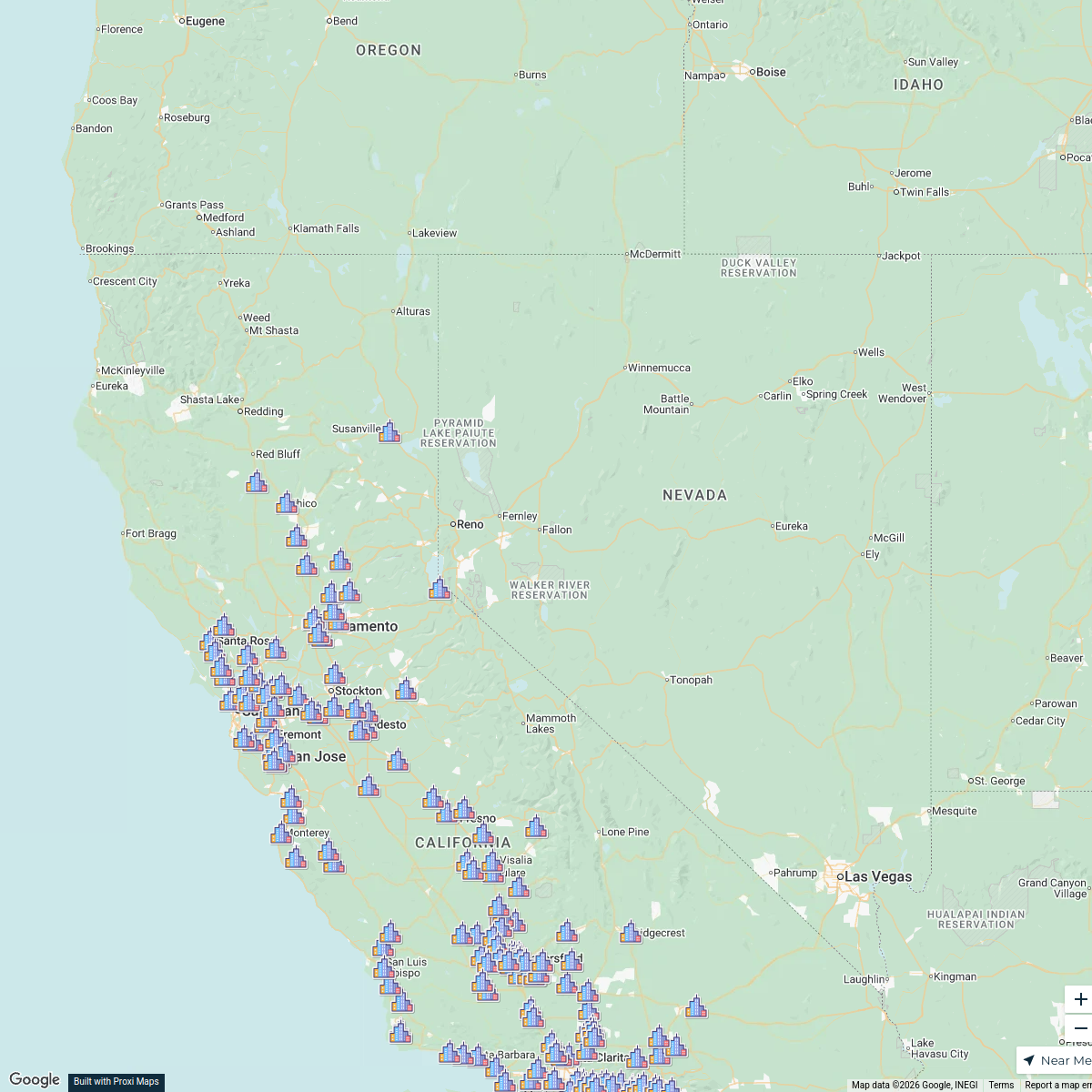
Bay Area Phlebotomy Heat Map
558 stopsliz.leroux's WorkspaceSutter Lab Map
116 stopsliz.leroux's Workspace
This map was made with Proxi
Have a main street, a market, or a story worth walking? Make your own map in a few minutes.