
Map · 15 places
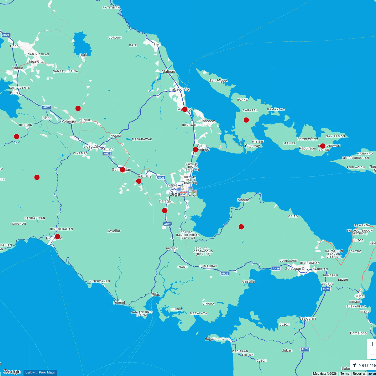
Bicol University Hazard Map
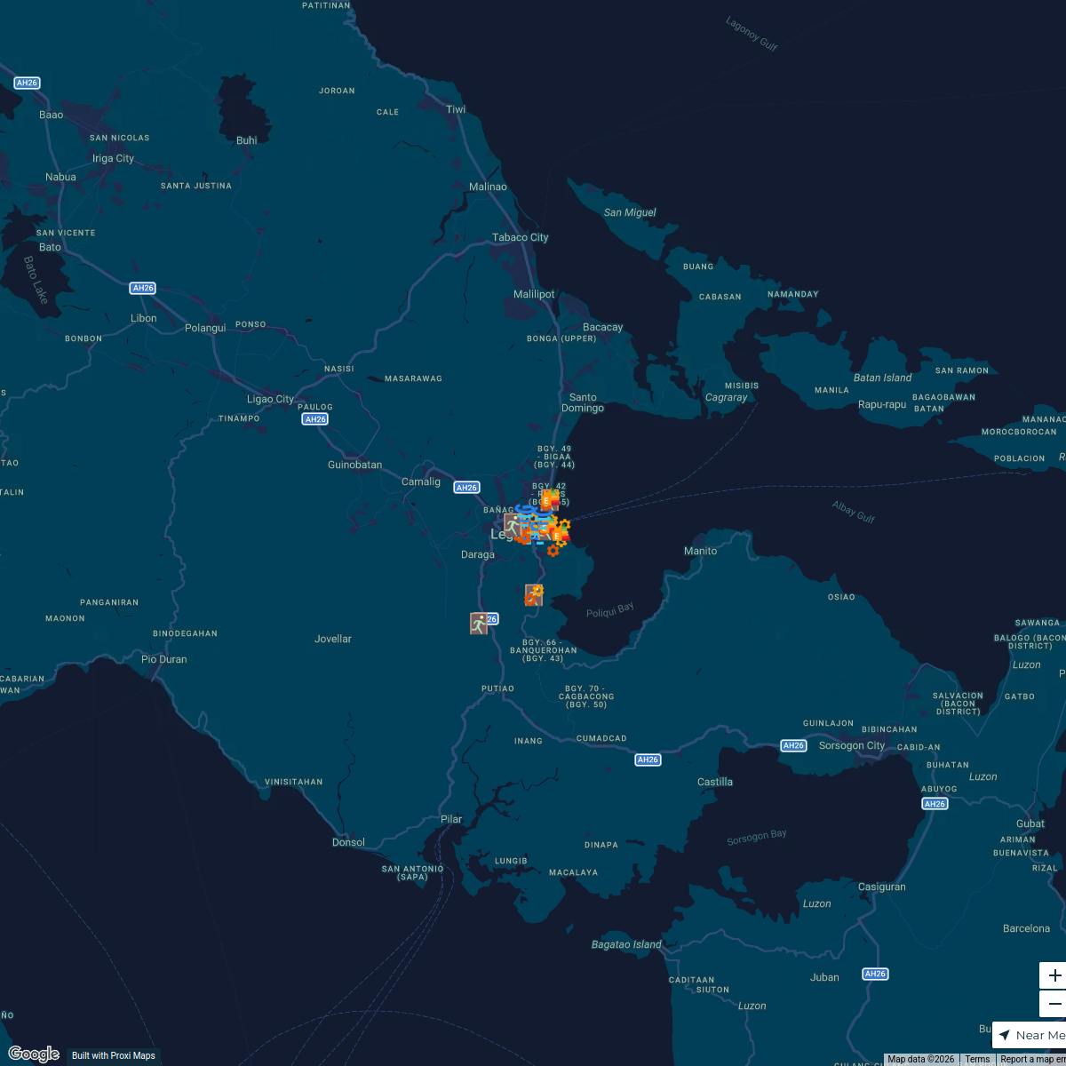
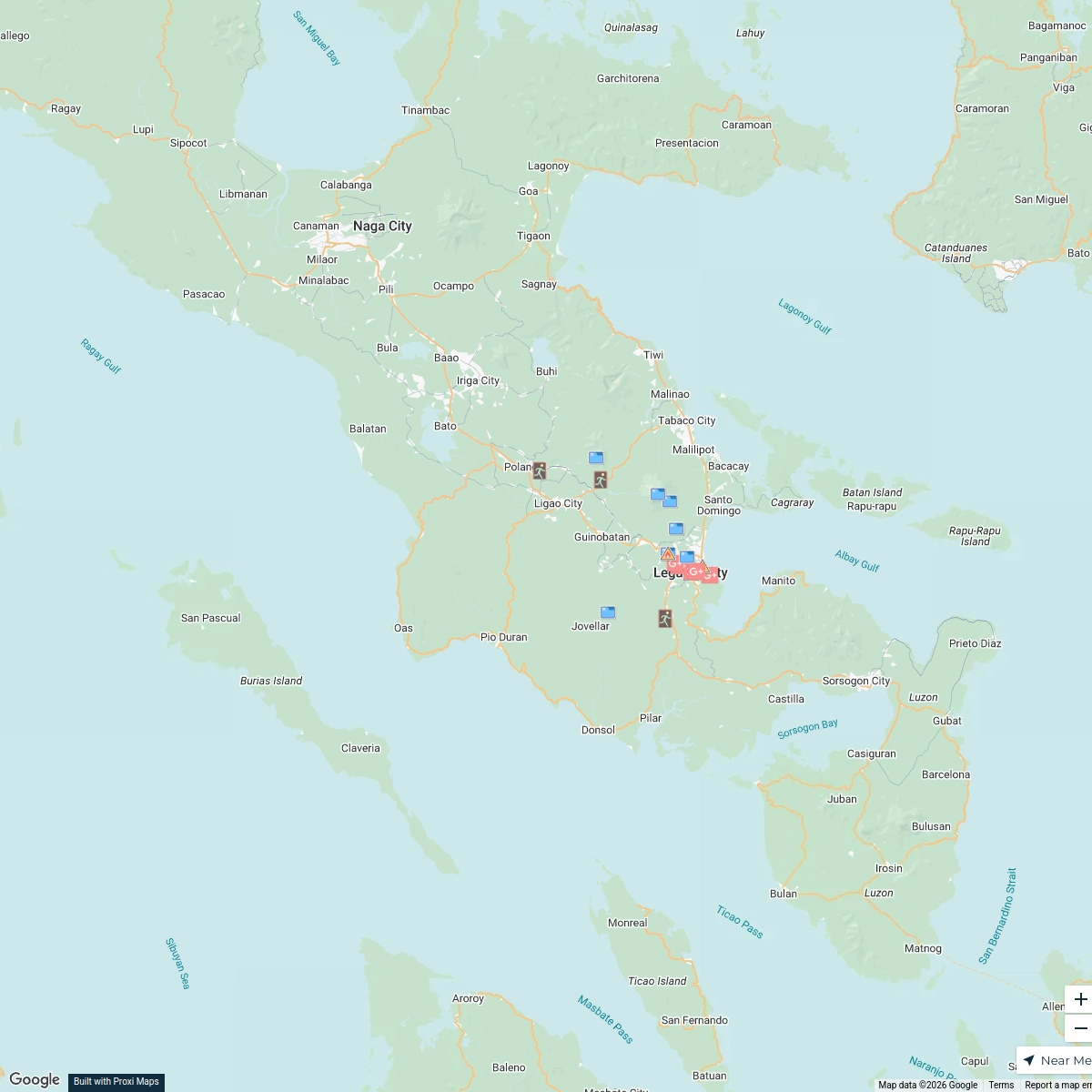
This map highlights various hazard zones and areas of concern around Bicol University - Tabaco Campus, including flood-prone areas, landslide risks, and emergency evacuation routes. It serves as a crucial tool for students, faculty, and local residents to ensure safety and preparedness against natural disasters.
Made with ProxiUpdated Mar 2025
- Safety Observation Points 11
- Emergency Evacuation Routes 3
- Flood Zones 1
Places on This Map
15 places · 3 groupsNearby Maps
Flood Prone Areas in Albay
25 stops Isaiah Miguel Abando's Workspace
Legazpi City Flood Risk Management
25 stops · Legazpi City, Albay, PhilippinesIsaiah Miguel Abando's WorkspaceMayon Volcano Eruption Affected Areas
20 stops · Albay, PhilippinesIsaiah Miguel Abando's WorkspaceIP Groups in the Philippines
19 stops Maria Celes L. Abragan's Workspace
GWM PH Map Dealers
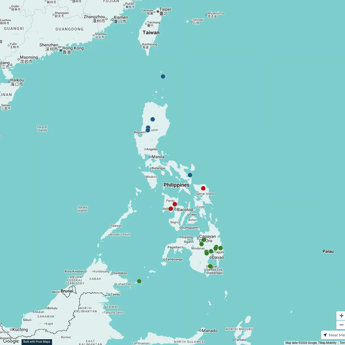
14 stopsJoycelyn Magno's WorkspaceExploring the Philippines
18 stops · PhilippinesKaliyah Williams's Workspace
This map was made with Proxi
Have a main street, a market, or a story worth walking? Make your own map in a few minutes.