
Map · 1 place
Jawaharlal Nehru University Surroundings
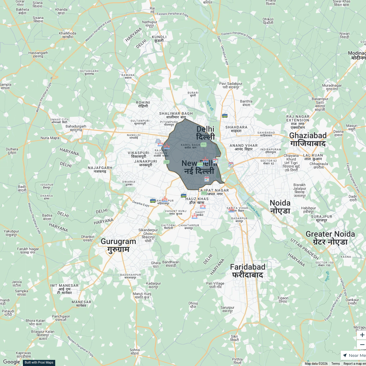
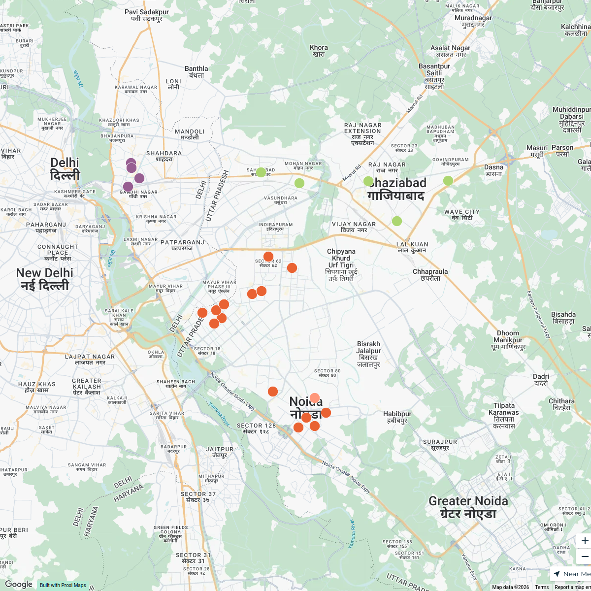
A detailed map highlighting key locations and features around Jawaharlal Nehru University in New Delhi, including academic buildings, hostels, libraries, and nearby public transport routes.
Made by Sahil Hajare's WorkspaceUpdated Mar 2025
- Educational Institutions 1
Places on This Map
1 place · 1 groupNearby Maps
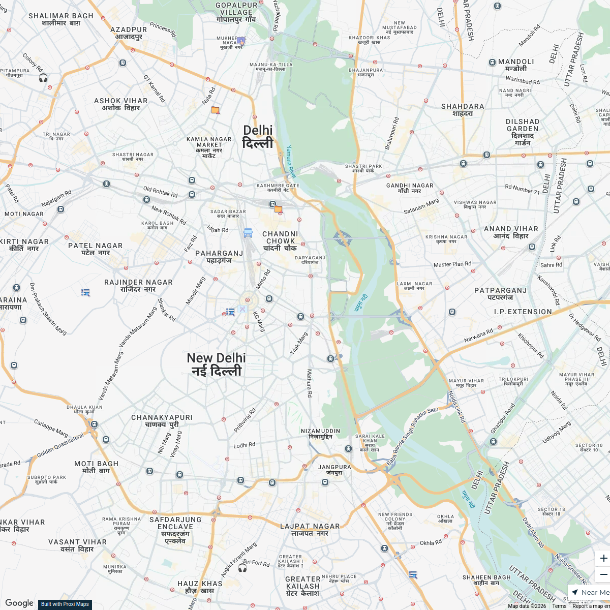
New Delhi Road Network
21 stops Dr.Bigith V B's Workspace
JNU Campus Map
16 stops Sahil Hajare's Workspace
Best CBSE Schools in Gurgaon
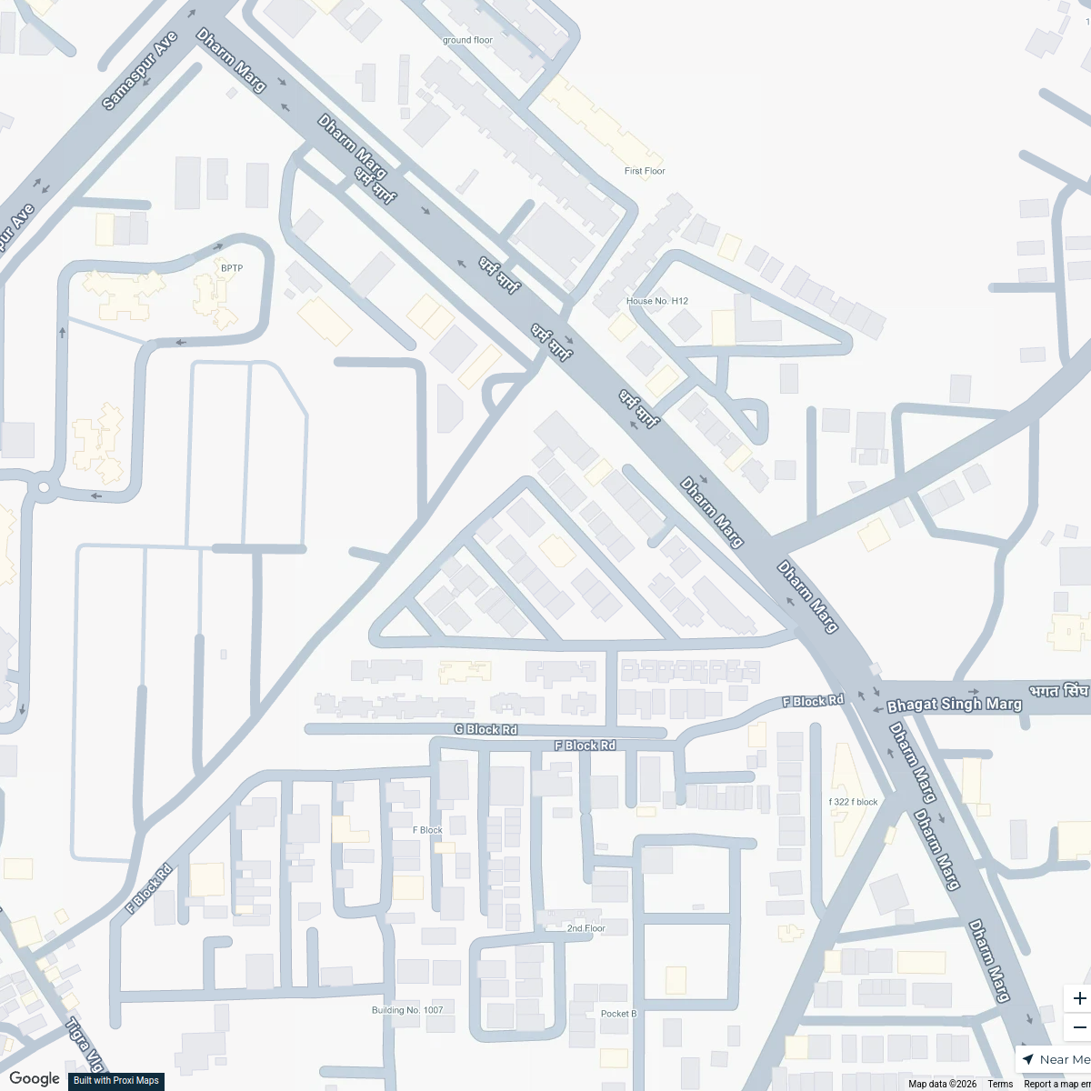
1 stop · G Block, Sector 57, Gurugram, Haryana 122003, IndiaGitanjali International School Gurgaon's WorkspaceDelhi Industrial Area Map
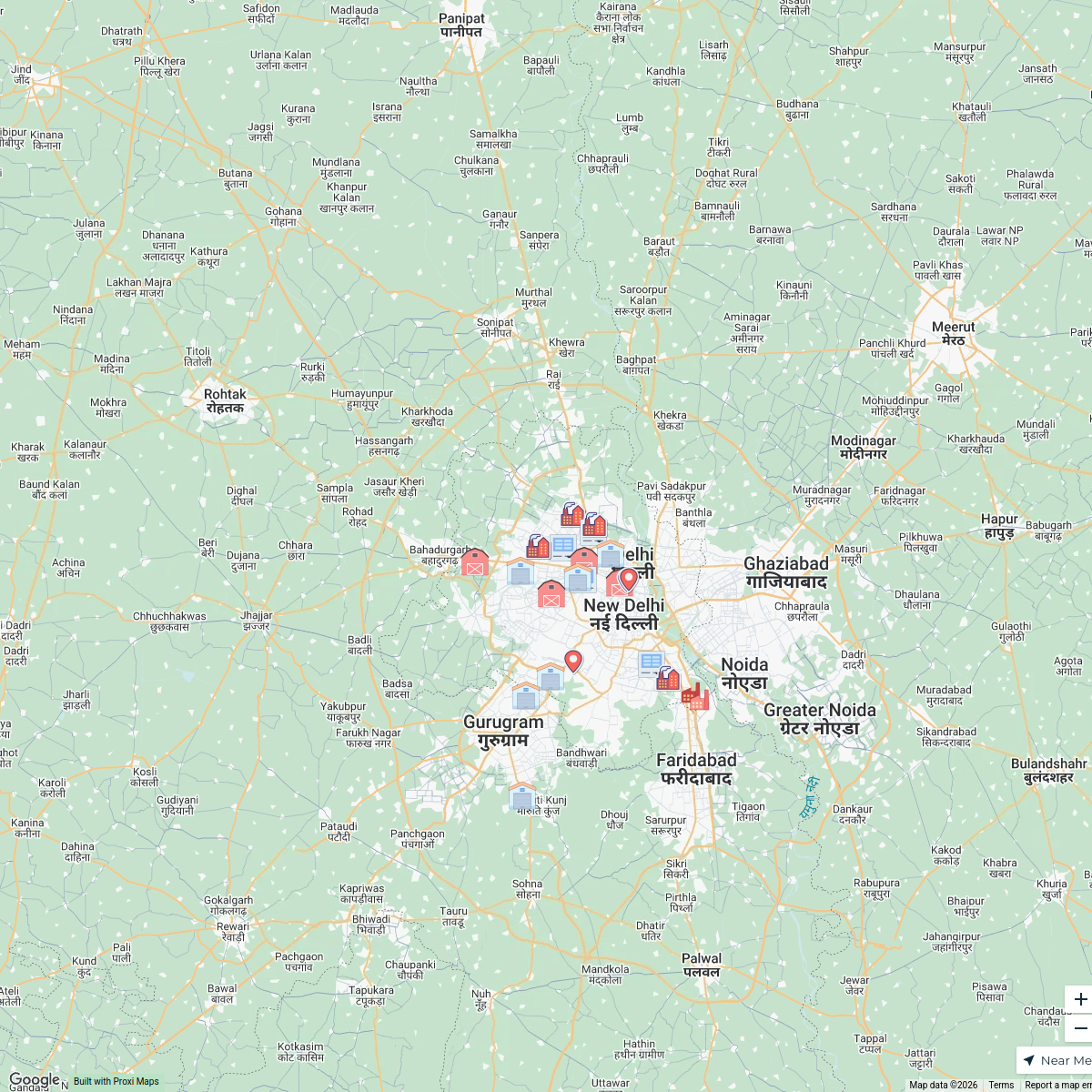
24 stops · Delhi, IndiaSanya Aggarwal's WorkspaceGautam Budh Nagar District Map
25 stops Janpahal's Workspace
Greater Noida College Map
17 stops · Greater Noida, Uttar Pradesh, IndiaGAURAV YADAV's Workspace

This map was made with Proxi
Have a main street, a market, or a story worth walking? Make your own map in a few minutes.