
Map · 10 places
Kettering Train Station Vicinity
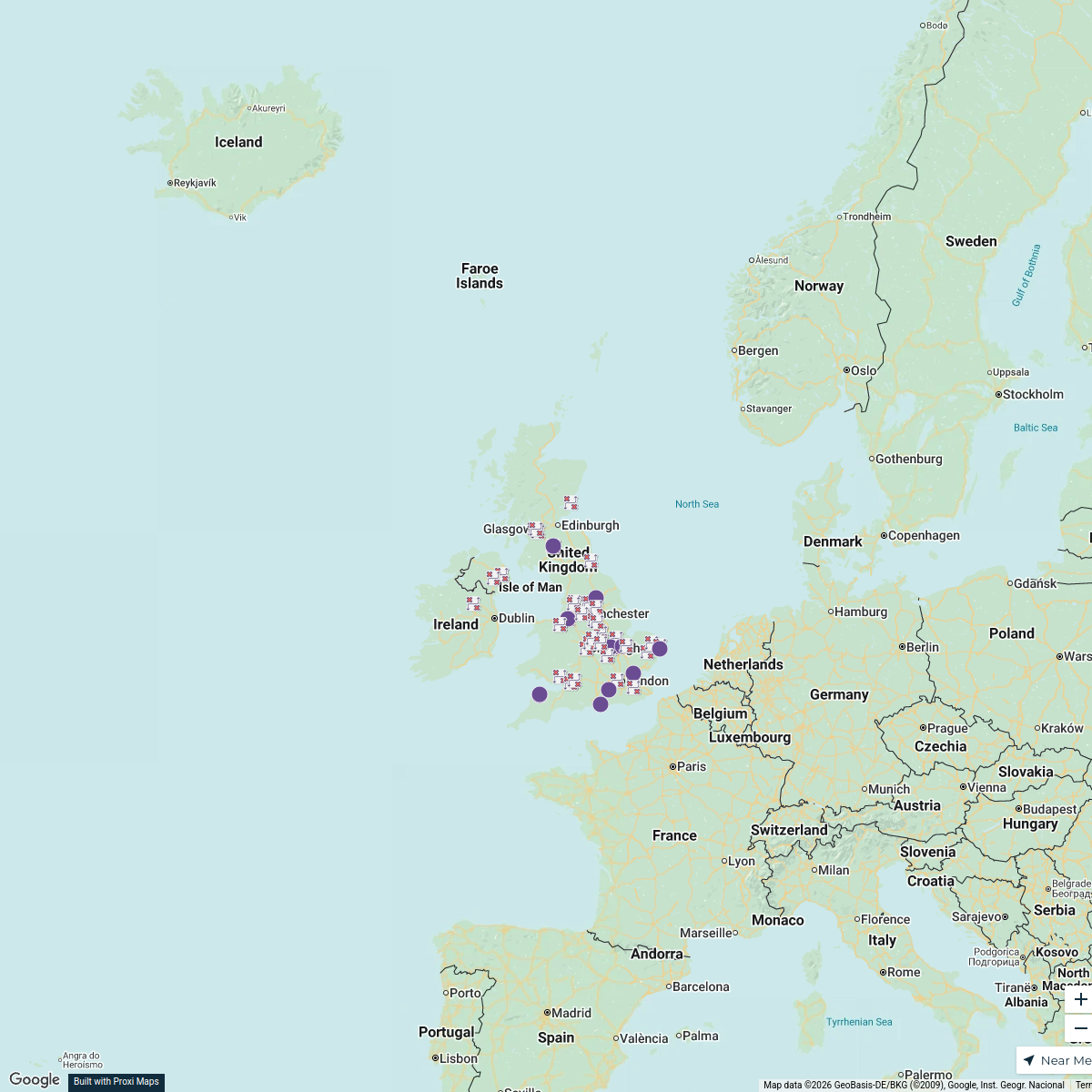
A detailed map showcasing a 5 mile radius around the local train stations in Kettering, UK. This map highlights key amenities, services, and important landmarks accessible via public transport and within walking distance from the train stations.
Made with ProxiUpdated Mar 2025
- Cultural Sites 3
- Parks 3
- Amenities 2
- Shops 2
Places on This Map
10 places · 4 groupsNearby Maps
Map of Premier League Teams
20 stops · England, UK Andrew Swinney's Workspace
Flexi
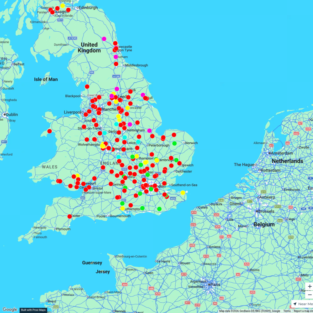
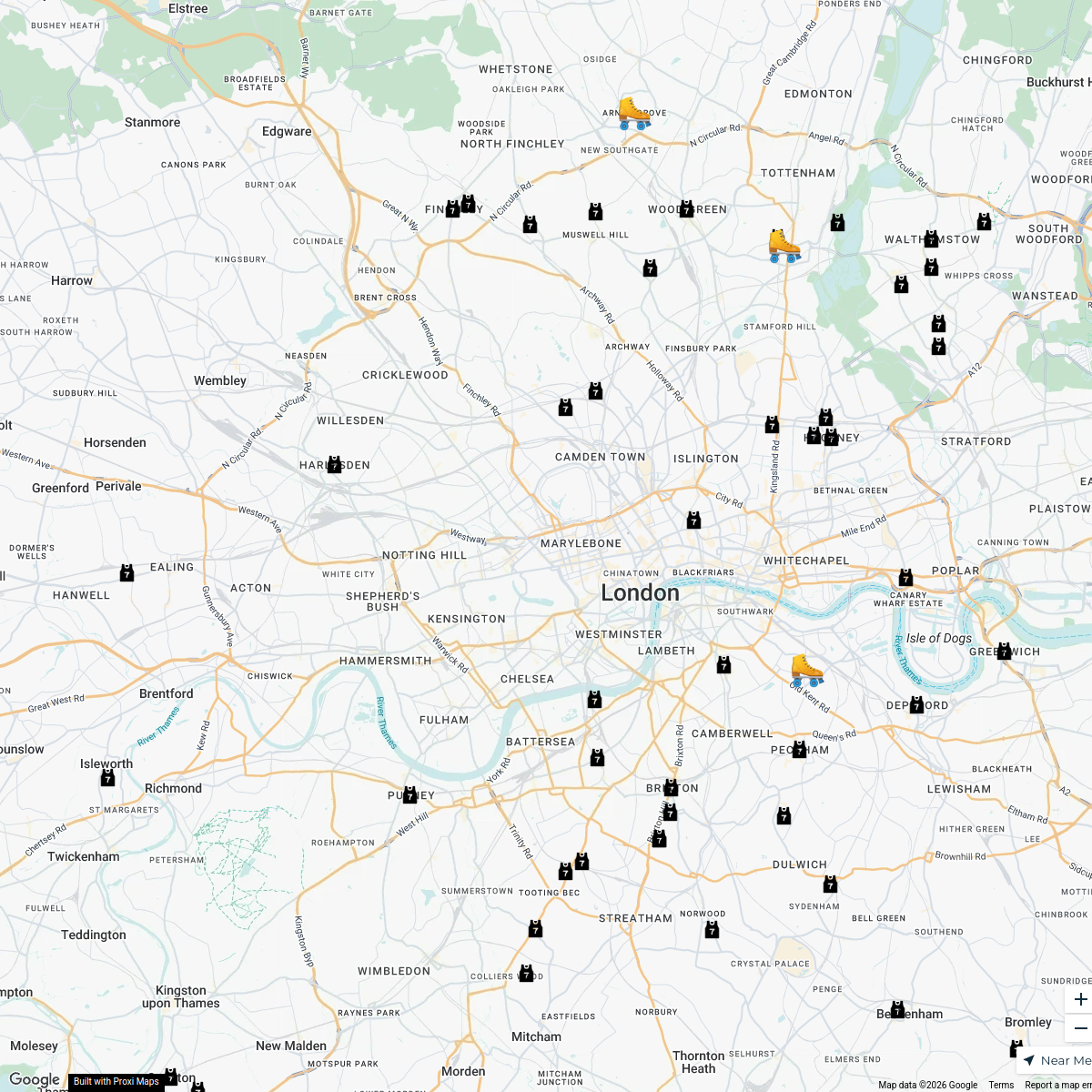
188 stopsp.grant's WorkspaceLondon Roller Derby
76 stopskatylw123's WorkspaceCBUK/WW map!
64 stops skirkwood-horne's Workspace
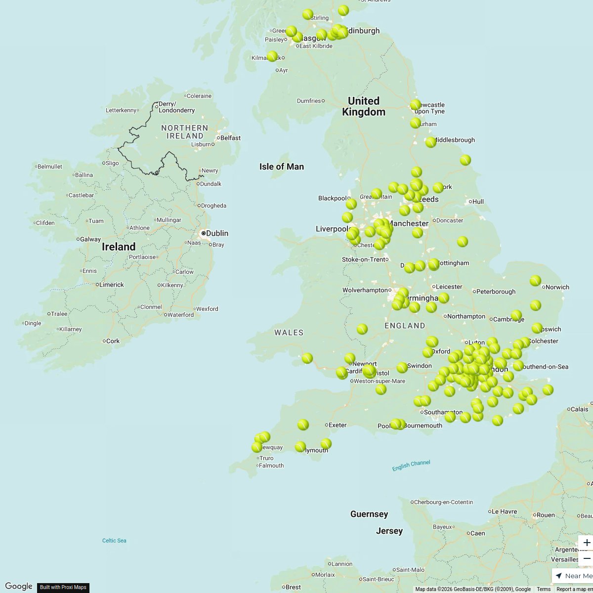
Padel Courts in the UK
196 stopsDarren Lock's WorkspaceSmurfit Westrock UK Locations
65 stops · UK, United KingdomAndrew Downward's Workspace

This map was made with Proxi
Have a main street, a market, or a story worth walking? Make your own map in a few minutes.