
Map · 16 places · Sherwood, OR
Sherwood Community Map
A detailed map highlighting key community locations in Sherwood, Oregon, including public services, recreational areas, and dining options.
Made with ProxiUpdated Mar 2025
- Libraries 8
- Emergency Services 2
- Religious Institutions 2
- Schools 2
- Parks 1
- Supermarkets 1
Places on This Map
16 places · 6 groupsNearby Maps
Muñoz Construction
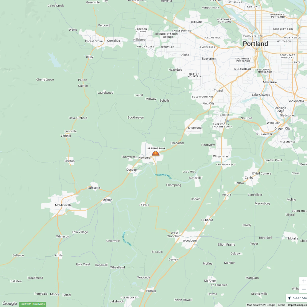
1 stop · 1103 N Springbrook Rd, Newberg, OR 97132, EE. UU. Norman Josué's Workspace
Portland filming locations
40 stops · Downtown Portland, Portland, OR, USA PDXtoday
Let It Glow Festival Map 2025
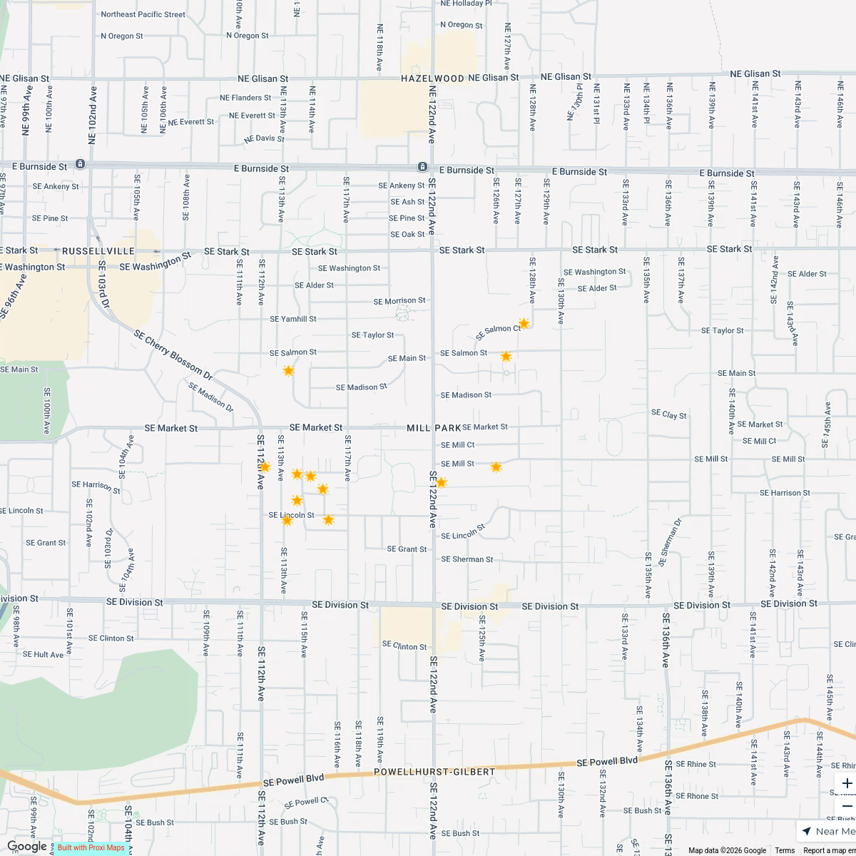
12 stops · Mill Park, Portland, OR, USA Allyson O'Hagan (Portland, OR Realtor)'s Workspace
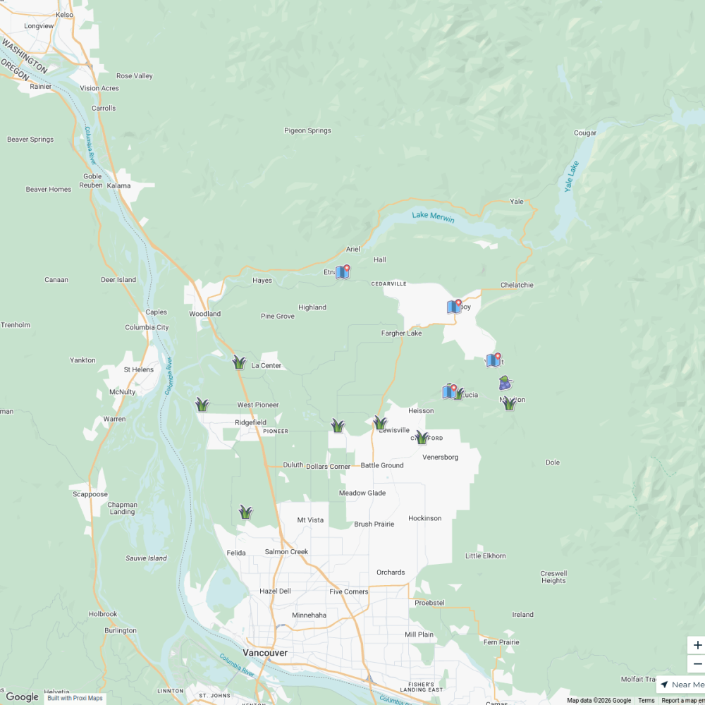
Downtown & Uptown Vancouver, WA Mural Map
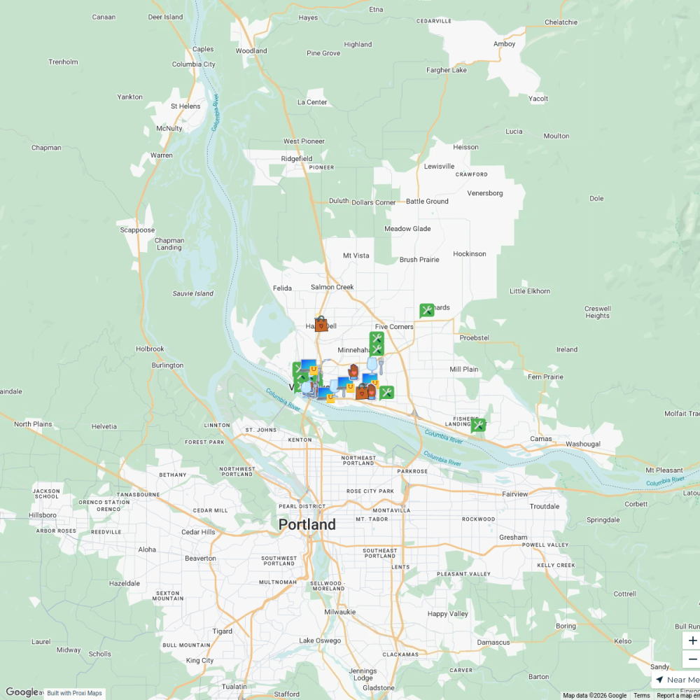
90 stops · 1220 Main Street, Vancouver, WA, USAVisit Vancouver WA's WorkspaceBlack-Owned Businesses in Vancouver
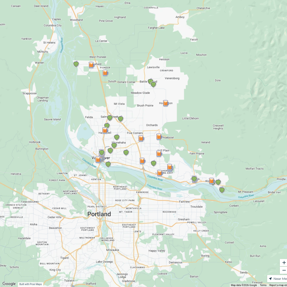
33 stops · Minnehaha, WA, USAVisit Vancouver WA's WorkspaceVancouver, WA Breweries & Taprooms
44 stops · North Image, Vancouver, WA, USAVisit Vancouver WA's Workspace
This map was made with Proxi
Have a main street, a market, or a story worth walking? Make your own map in a few minutes.