
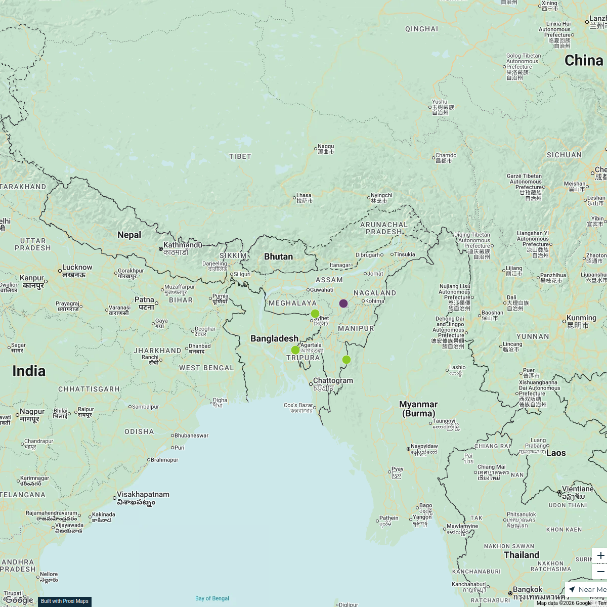
Map · 2 places
Disease Outbreaks in Sylhet
A detailed map focusing on the locations and details of recent disease outbreaks along Mirza Jangal Road in Sylhet, Bangladesh. The map highlights affected areas, healthcare facilities, and preventive measures in place.
Made with ProxiUpdated Mar 2025
- Healthcare Facilities 2
Places on This Map
2 places · 1 groupNearby Maps
Districts of Northeast India
5 stops bu
 Community Map
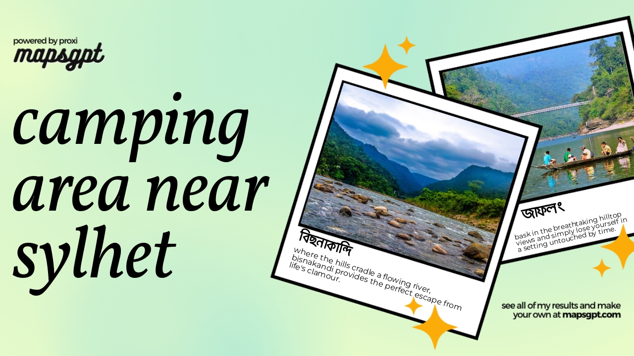
camping area near Sylhet
6 stops · Sylhet, BangladeshShared by the Proxi community Community Map
Coffe shop near Sylhet, Bangladesh
5 stops · Sylhet, BangladeshShared by the Proxi community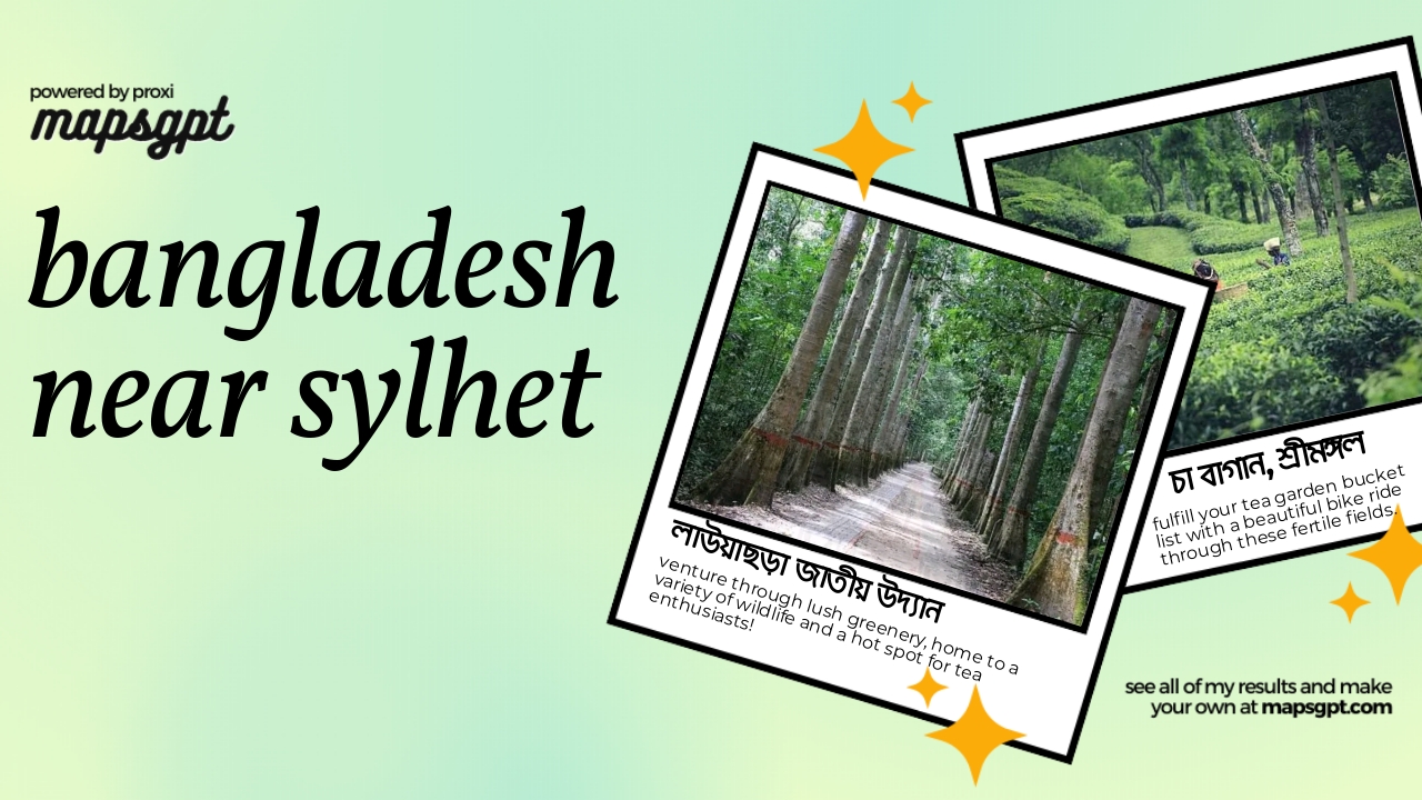 Community Map
Bangladesh near Sylhet
11 stops · Sylhet, BangladeshShared by the Proxi community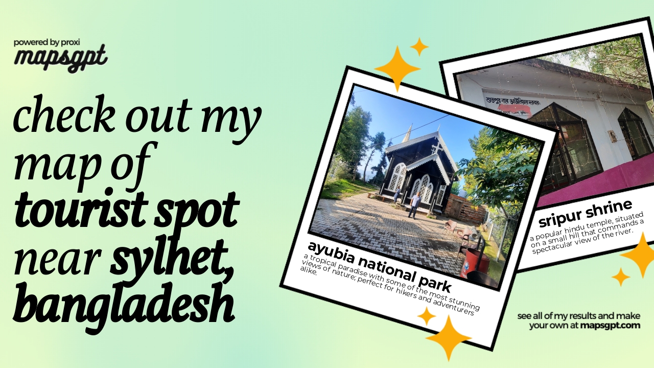 Community Map
tourist spot near sylhet, bangladesh
7 stops · Sylhet, BangladeshShared by the Proxi communityCommunity Map
Sylhet District Primary Schools
15 stops · Sylhet District, BangladeshShared by the Proxi community
This map was made with Proxi
Have a main street, a market, or a story worth walking? Make your own map in a few minutes.