
Map · 15 places
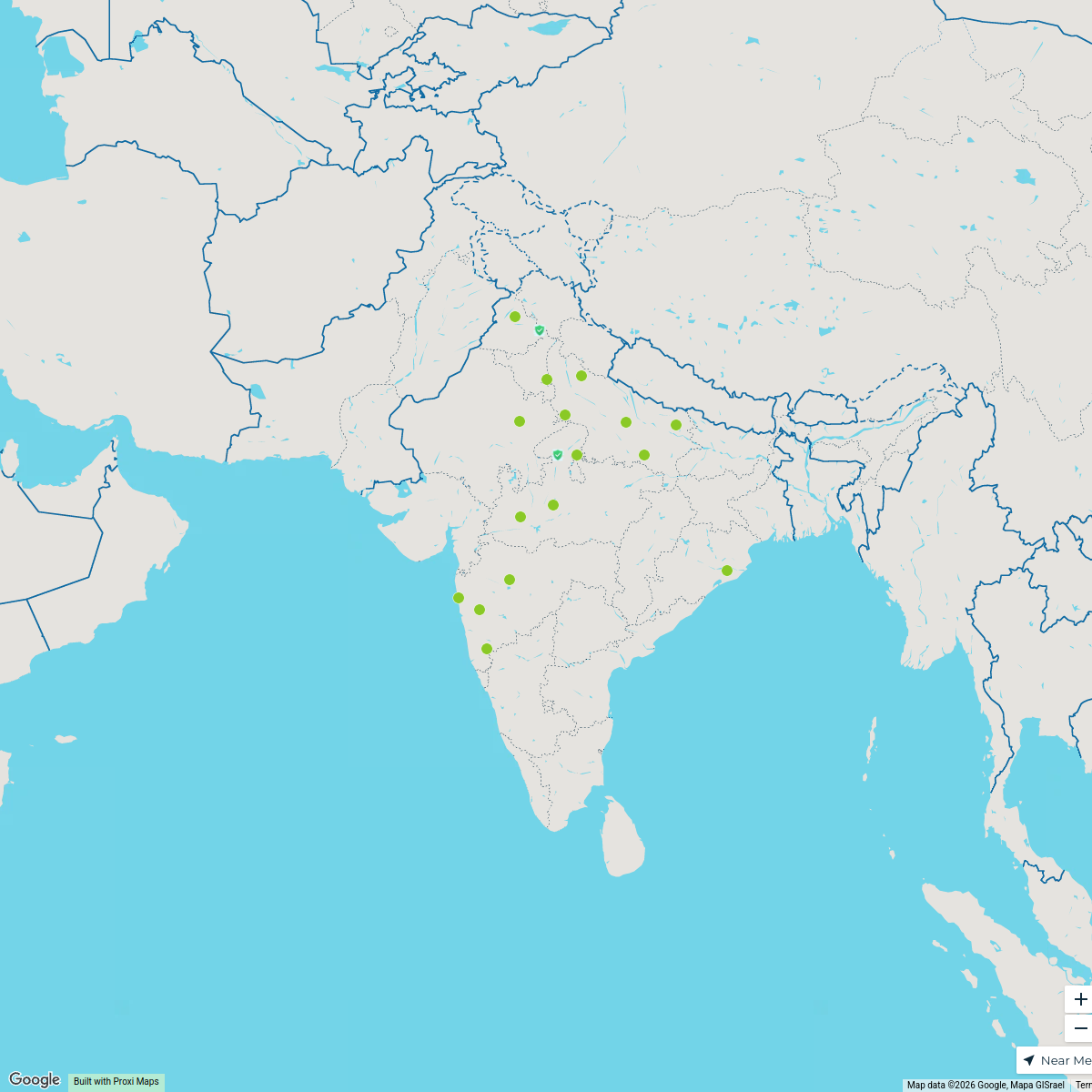
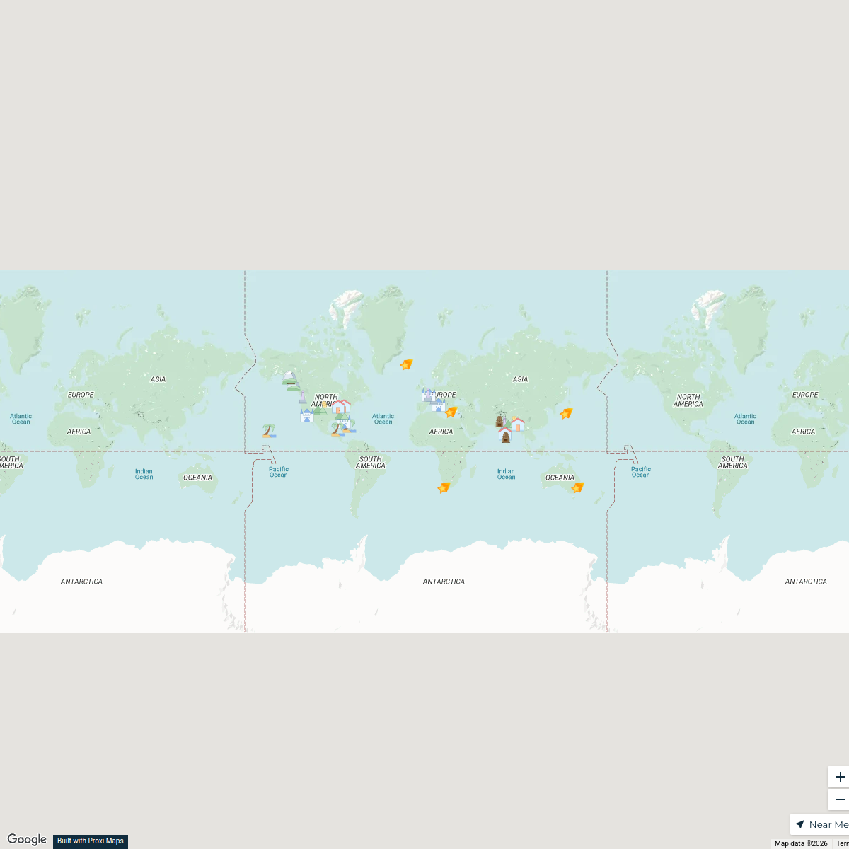
Landuse Map of Agra
This map details the various land use categories within Agra, Uttar Pradesh, highlighting residential, commercial, agricultural, and industrial areas.
Made with ProxiUpdated Feb 2025
- Cultural Sites 3
- Parks and Recreation 3
- Transport Infrastructure 3
- Agricultural Land 2
- Commercial Zones 2
- Industrial Areas 1
- Residential Areas 1
Places on This Map
15 places · 7 groupsNearby Maps
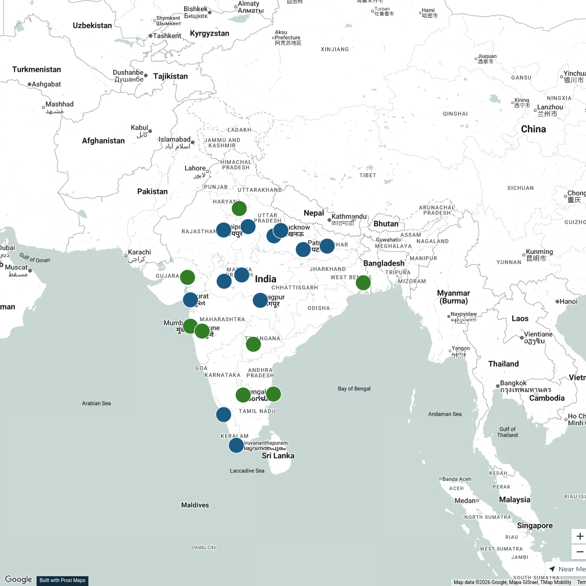
Exploring Central and North India
18 stops Avinash y's Workspace
X & Y Class Cities in India
20 stops Terry Bennett's Workspace
Seek Discomfort Adventure Map
974 stops Seek Discomfort's Adventure Map
Pin Your Heart
425 stops · Europe Voluson Performance
Controls Hub - Holiday Hotspots
33 stops · London, UK joanna.z.jones's Workspace
World Travel Map
30 stopsrohit.voothaluru's Workspace

This map was made with Proxi
Have a main street, a market, or a story worth walking? Make your own map in a few minutes.