
Map · 20 places
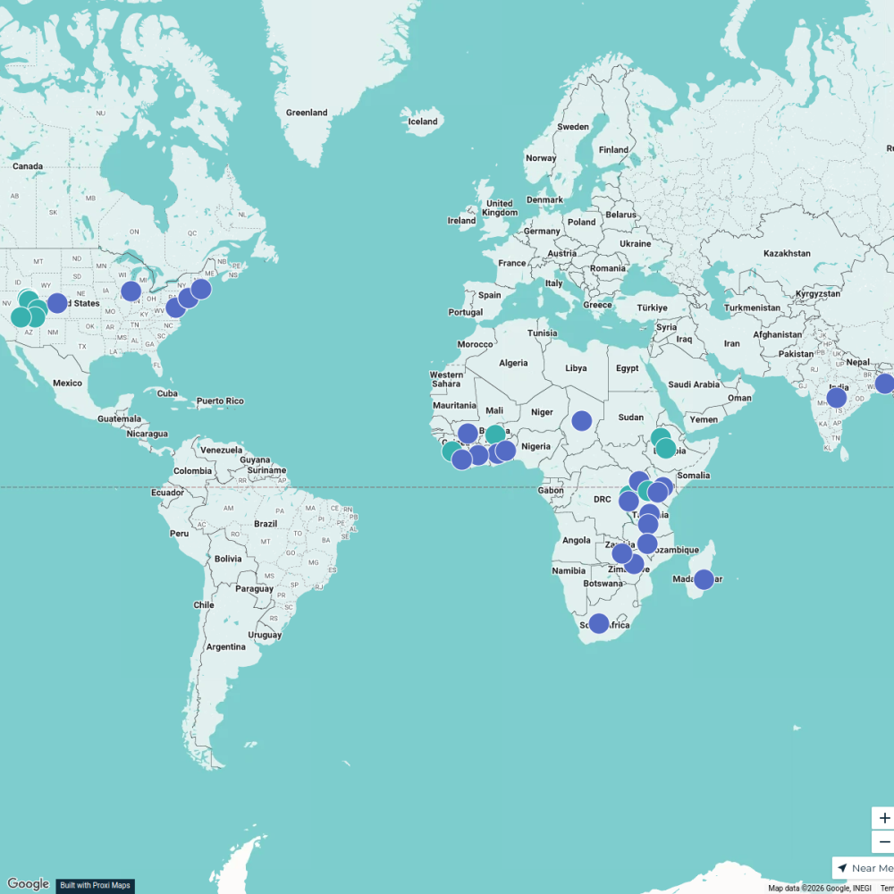
Nairobi Community Map
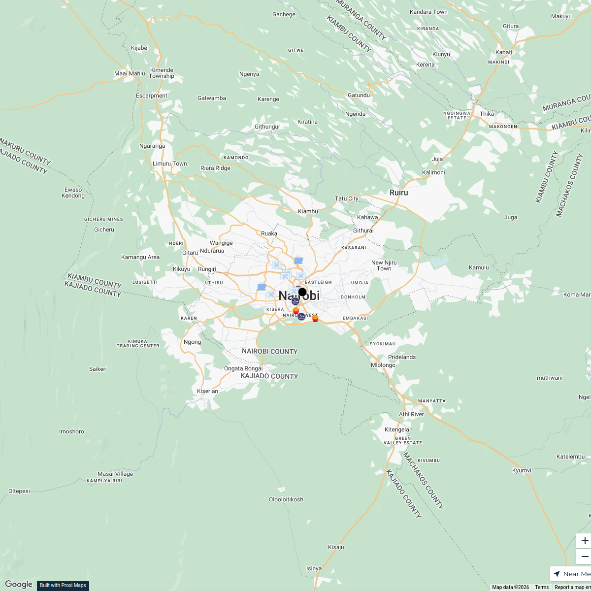
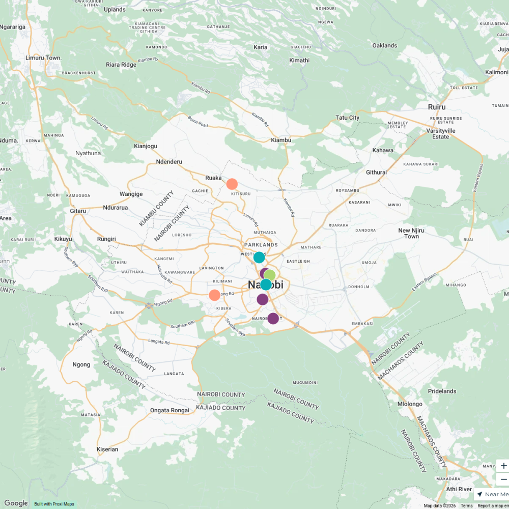
A detailed map highlighting the geographical features of Nairobi, Kenya, illustrating the interaction between the urban environment, natural resources, and local wildlife. The map showcases rivers, urban areas, forests, mountains, and transportation routes, revealing how these elements influence the lives of local inhabitants and the distribution of resources and habitats. Key landmarks and land use patterns demonstrate the historical and ecological context of the region.
Made with ProxiUpdated Feb 2025
- Urban Areas 7
- Wildlife Habitats 4
- Transportation Routes 3
- Landmarks 2
- Natural Resources 2
- Geographical Features 1
- Land Use Patterns 1
Places on This Map
20 places · 7 groupsNearby Maps
Halal Restaurants in Nairobi
18 stops · Nairobi, Kenya Geo Absiye's Workspace
halal restaurants near nairobi
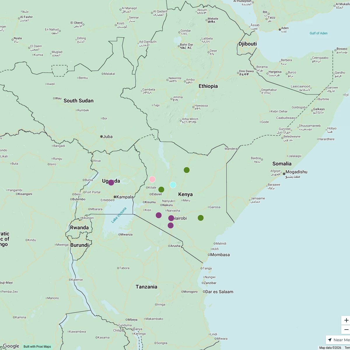
10 stopsGeo Absiye's WorkspaceEast Africa Adventure Map
9 stops · East AfricaSeleyian Partoip's Workspace
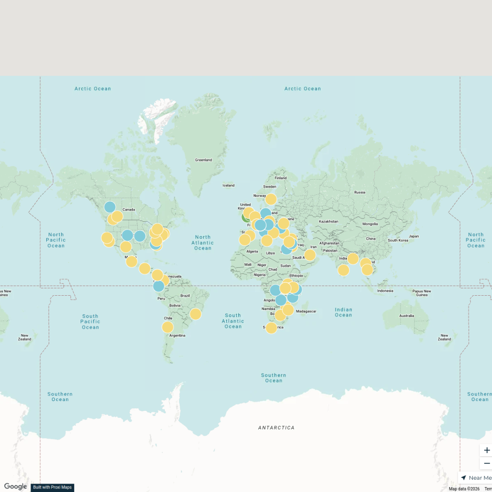
Beer Passport Map
357 stops Lekker Passport
MA in Refugee Protection Network
88 stopsana.mckellar's Workspace
RTNF Partners Map
61 stops Erin Blackford's Workspace
This map was made with Proxi
Have a main street, a market, or a story worth walking? Make your own map in a few minutes.