
Map · 34 places
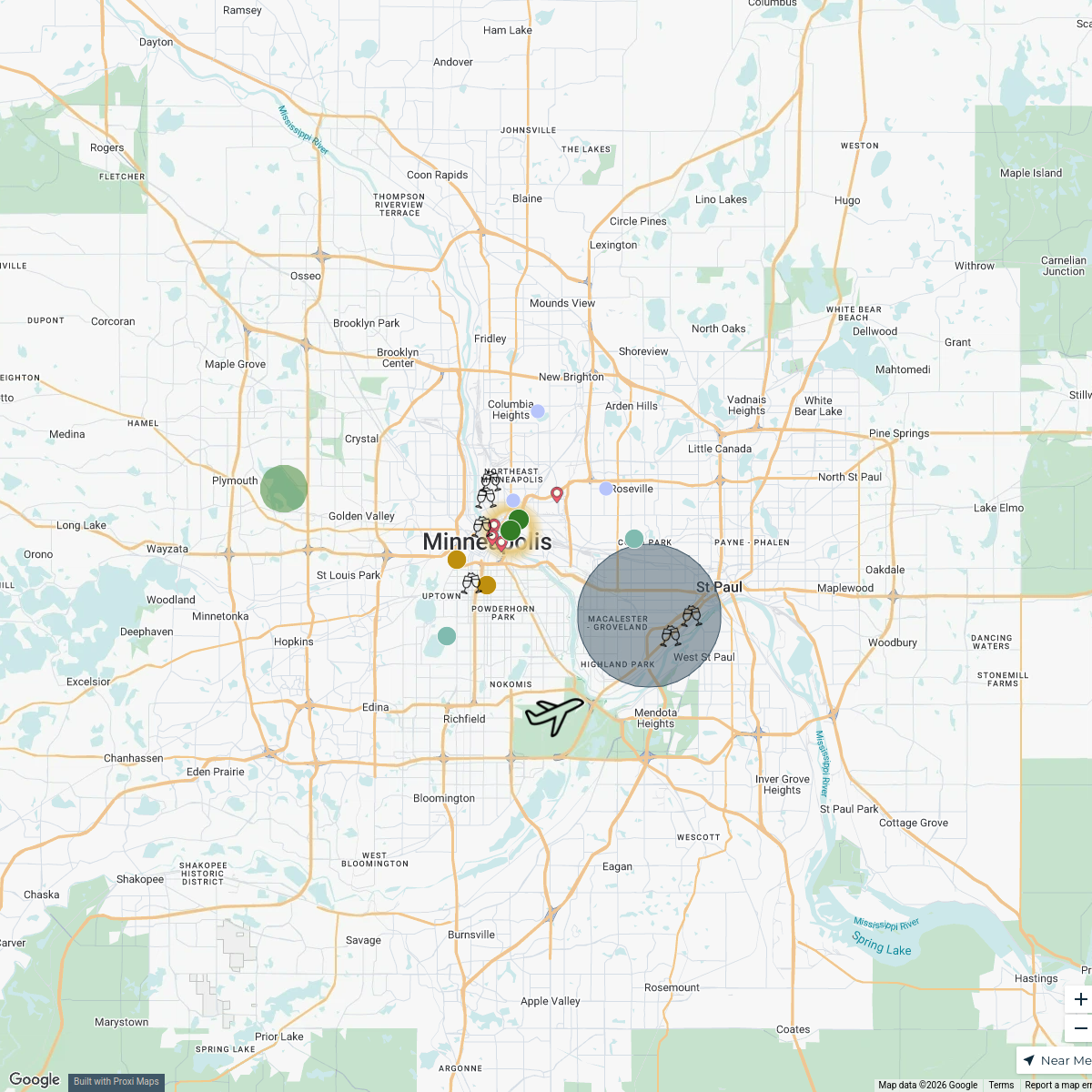
Hennepin County Intersection Map
A detailed map showcasing the intersections across Hennepin County, MN. This map aims to provide insights into traffic patterns, major road connections, and important junctions in the area.
Made with ProxiUpdated Feb 2025
- Intersections 22
- Traffic Signals 11
- Local Roads 1
Places on This Map
34 places · 3 groupsNearby Maps
Sara + Tim Wedding
25 stops Tim Horn's Workspace
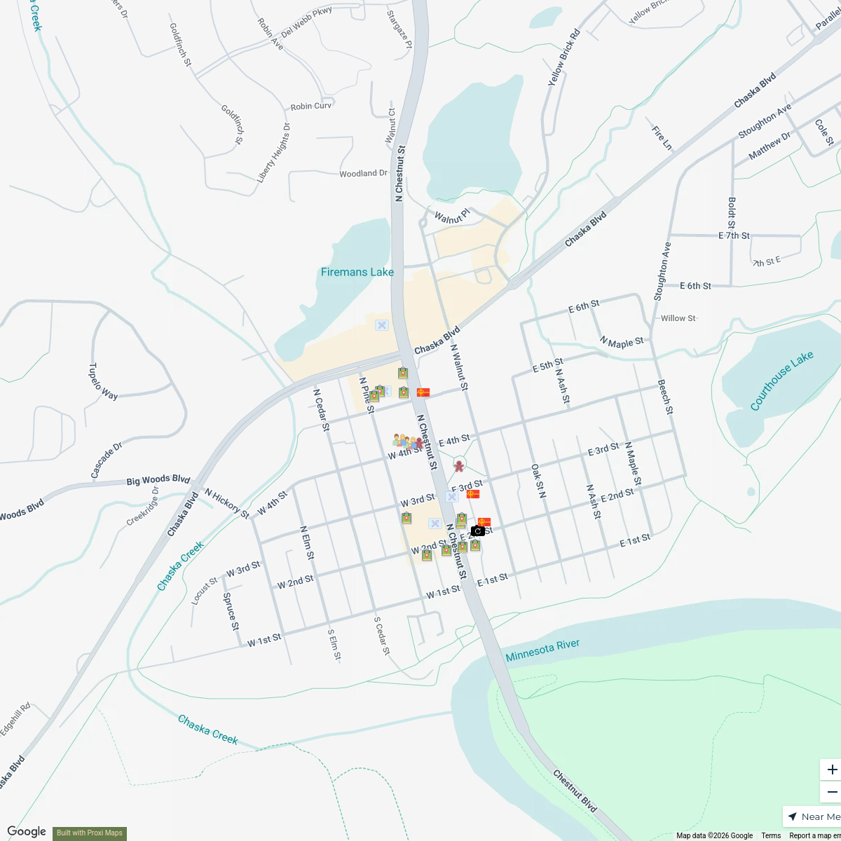
Holidays in Downtown Chaska
23 stops Downtown Chaska's Workspace
Downtown Chaska Deer Weekend 2024
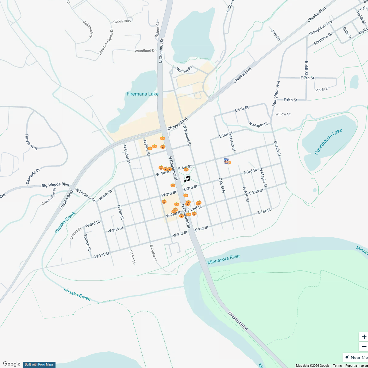
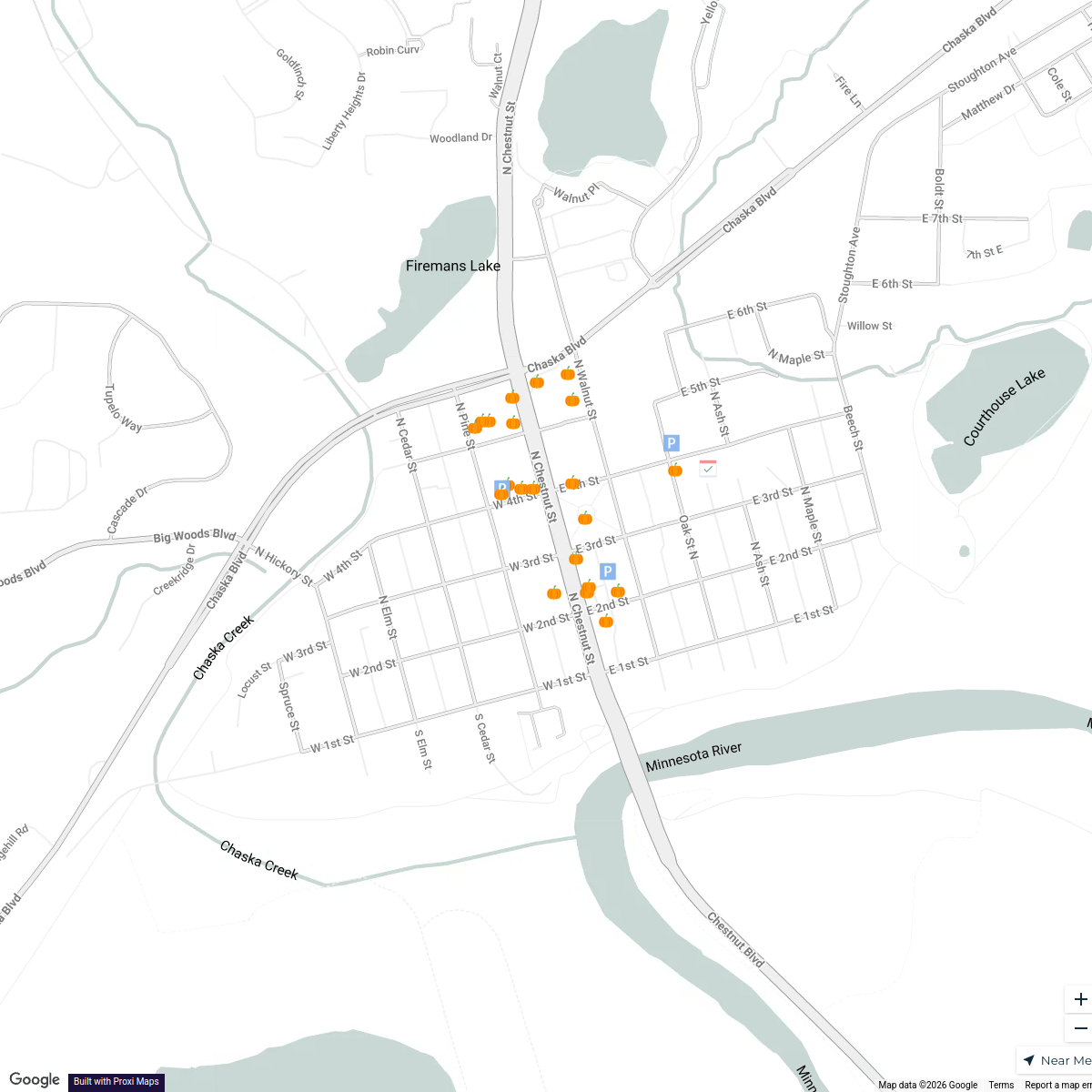
23 stopsDowntown Chaska's WorkspaceDowntown Chaska 2025 Trick or Treat
24 stopsDowntown Chaska's WorkspaceTrick or Treat Downtown Chaska 2024
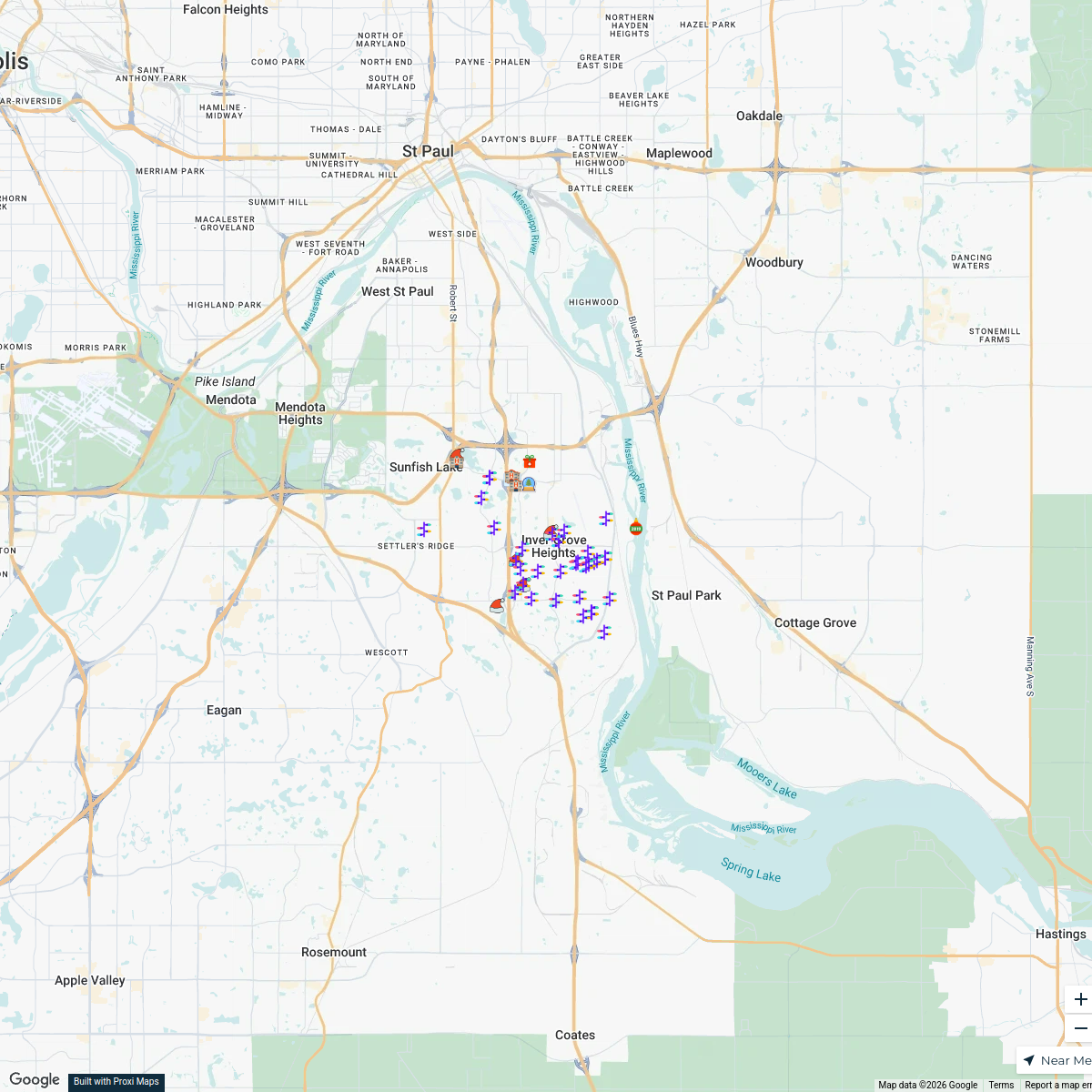
25 stopsDowntown Chaska's WorkspaceHoliday in the Heights 2025!
49 stops · Inver Grove Heights, MN, USA lilly's Workspace
This map was made with Proxi
Have a main street, a market, or a story worth walking? Make your own map in a few minutes.