
Map · 16 places
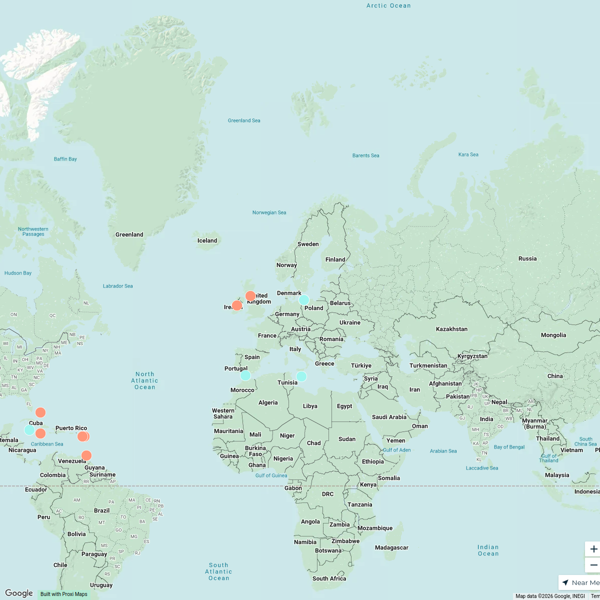
Chaguanas County Map
A detailed map focusing on the county lines and significant areas within Chaguanas, Trinidad and Tobago, highlighting key locations, streets, and demographics.
Made with ProxiUpdated Feb 2025
- Community Services 5
- Local Attractions 5
- Commercial Zones 3
- Cultural Sites 1
- Residential Areas 1
- Transportation 1
Places on This Map
16 places · 6 groupsNearby Maps
SHRM 2025 Annual Conference
78 stops SHRM Global Lounge Workspace
Cultural Harmony Week 2025 - USA
52 stops · USA, United States Christina Sama's Workspace
Member Directory Map
465 stops rlane's Workspace
Vision Group / Groupe Vision
78 stopslghazaly's WorkspaceTravel Bucket List
122 stops · Monaco Lea Di Giovanni · @leastraveldiaries
British Possessions in the 18th Century
15 stops · Europe Pedro Merino Múgica's Workspace

This map was made with Proxi
Have a main street, a market, or a story worth walking? Make your own map in a few minutes.