
Map · 24 places · Toronto, Ontario
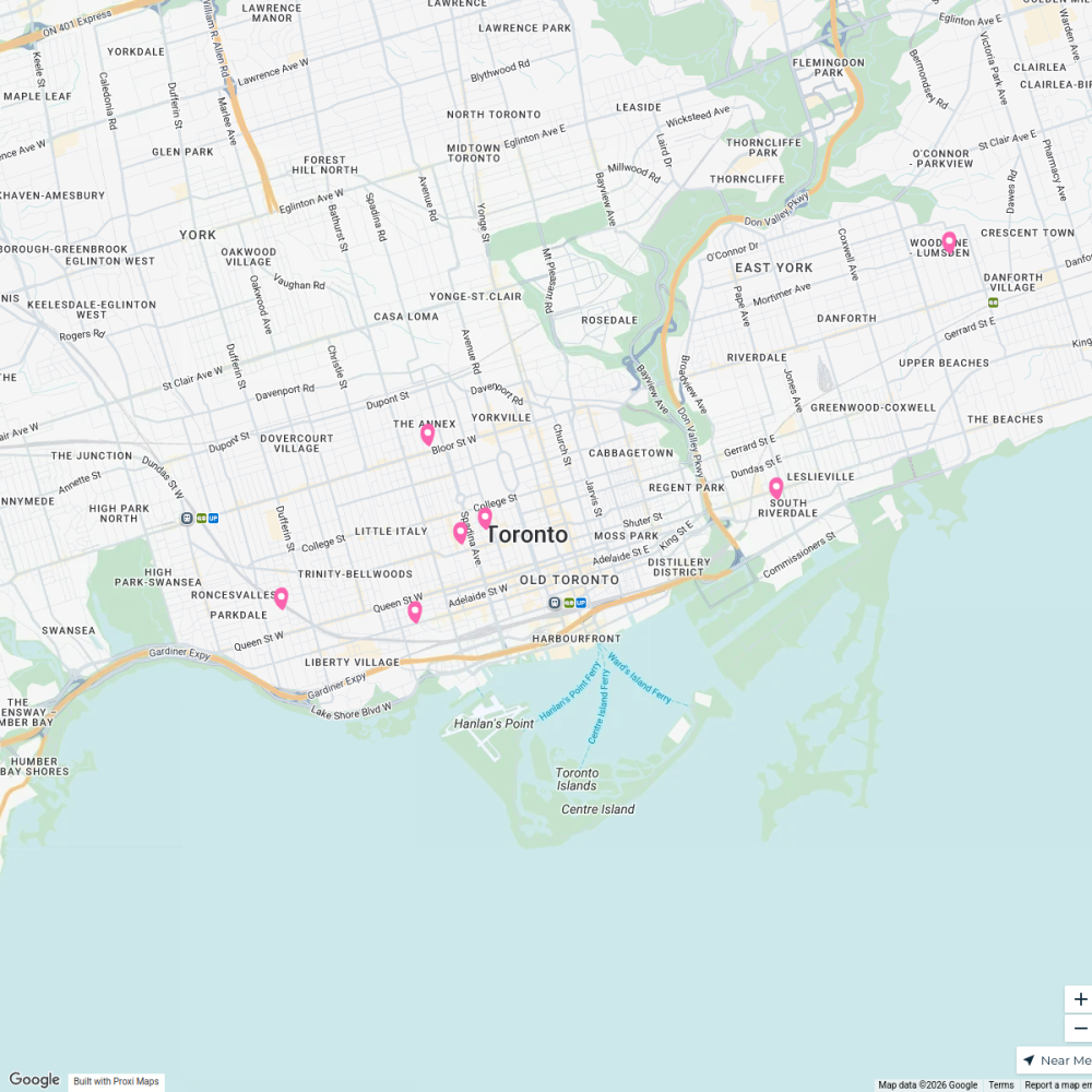
Keelesdale-Eglinton West Community Map
A detailed map showcasing the community of Keelesdale-Eglinton West in York, Ontario, Canada, including notable landmarks, local businesses, parks, and recreational areas that define the neighborhood.
Made by Adrianna Seixo's WorkspaceUpdated Feb 2025
- Restaurants 4
- Parks 3
- Recreation Center 3
- Schools 3
- Bakery 2
- Church 2
- Public Transport 2
- Activities 1
- Community Centers 1
- Healthcare Facilities 1
- Local Businesses 1
- Supermarket 1
Places on This Map
24 places · 12 groupsNearby Maps
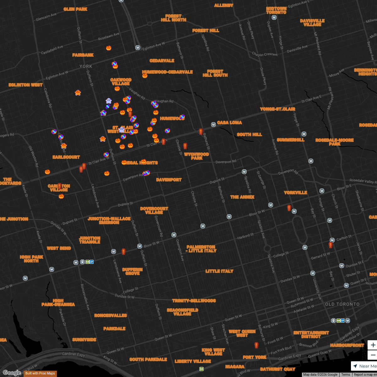
2025 Oakwood Village & St Clair West Trick or Treat Map
113 stops jmcnn07's Workspace
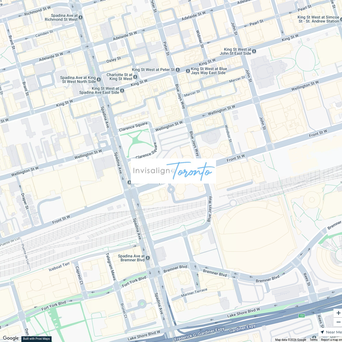
Invisalign Centers in Toronto
2 stops · 350 Front St W, Toronto, ON M5V 3W7, Canadainvisalignlawrenceave's WorkspaceToronto Trick-Or-Treat-Map
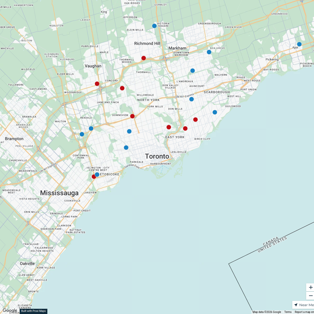
49 stops · Toronto, ON, CanadaCuriocityToronto Deliveries Map
25 stops · Toronto, ON, Canada dispatch's Workspace
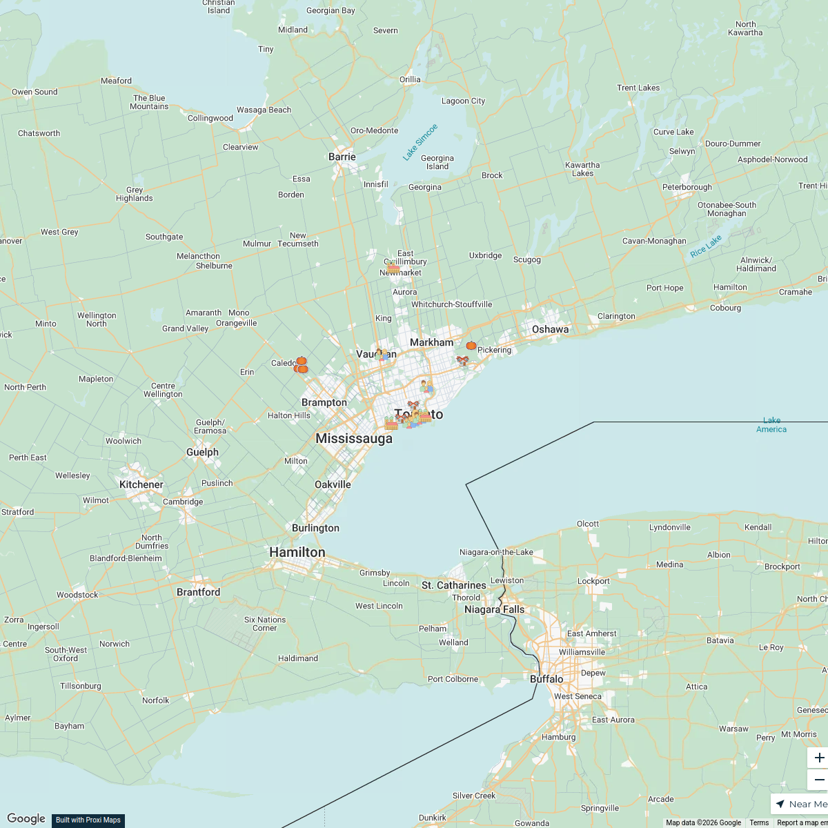
Halloween Hotspots in Toronto
20 stops · Toronto, ON, Canadafilipov.diogo's WorkspaceCommunity Fridge Locations
7 stops · Toronto, ON, Canada Community Fridge's Workspace

This map was made with Proxi
Have a main street, a market, or a story worth walking? Make your own map in a few minutes.