
Map · 2 places
Topographic Map of Hai Phong
A detailed topographic map showcasing the geographical features and elevation changes of Hai Phong, Vietnam. This map will help users understand the terrain, including hills, valleys, and waterways, offering insights into the region's natural landscape.
Made with ProxiUpdated Feb 2025
- Geographical Features 2
Places on This Map
2 places · 1 groupNearby Maps
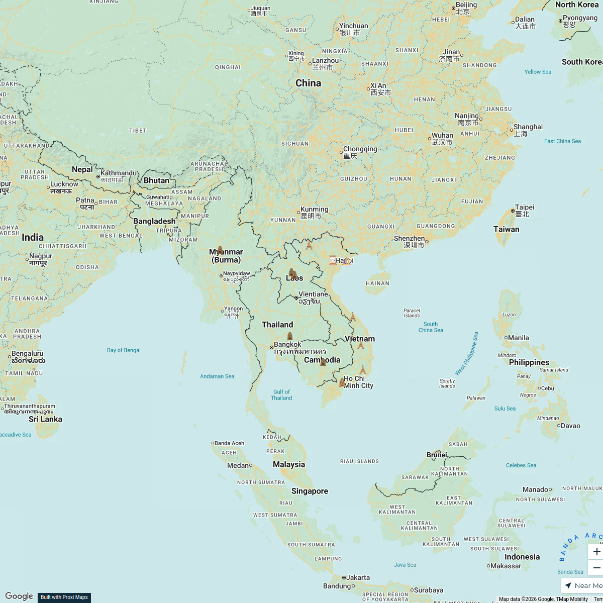
Colonial Indochina
16 stops Kadin Severs's Workspace
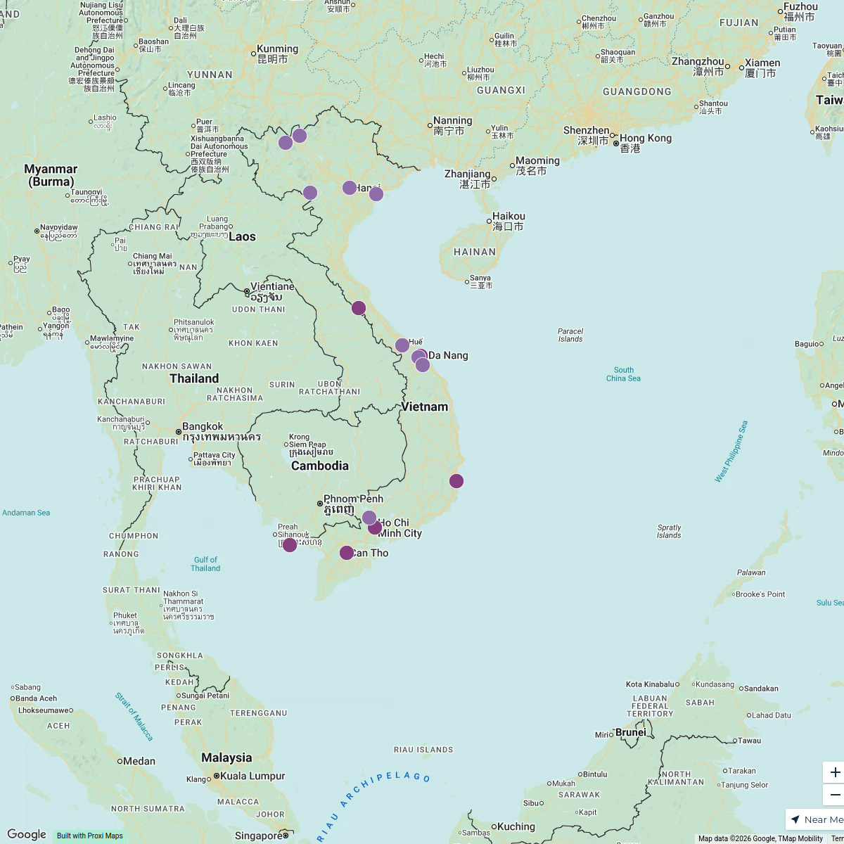
Vietnam Air Quality Map
15 stops · Vietnam Linh ttufyfhfuguy's Workspace
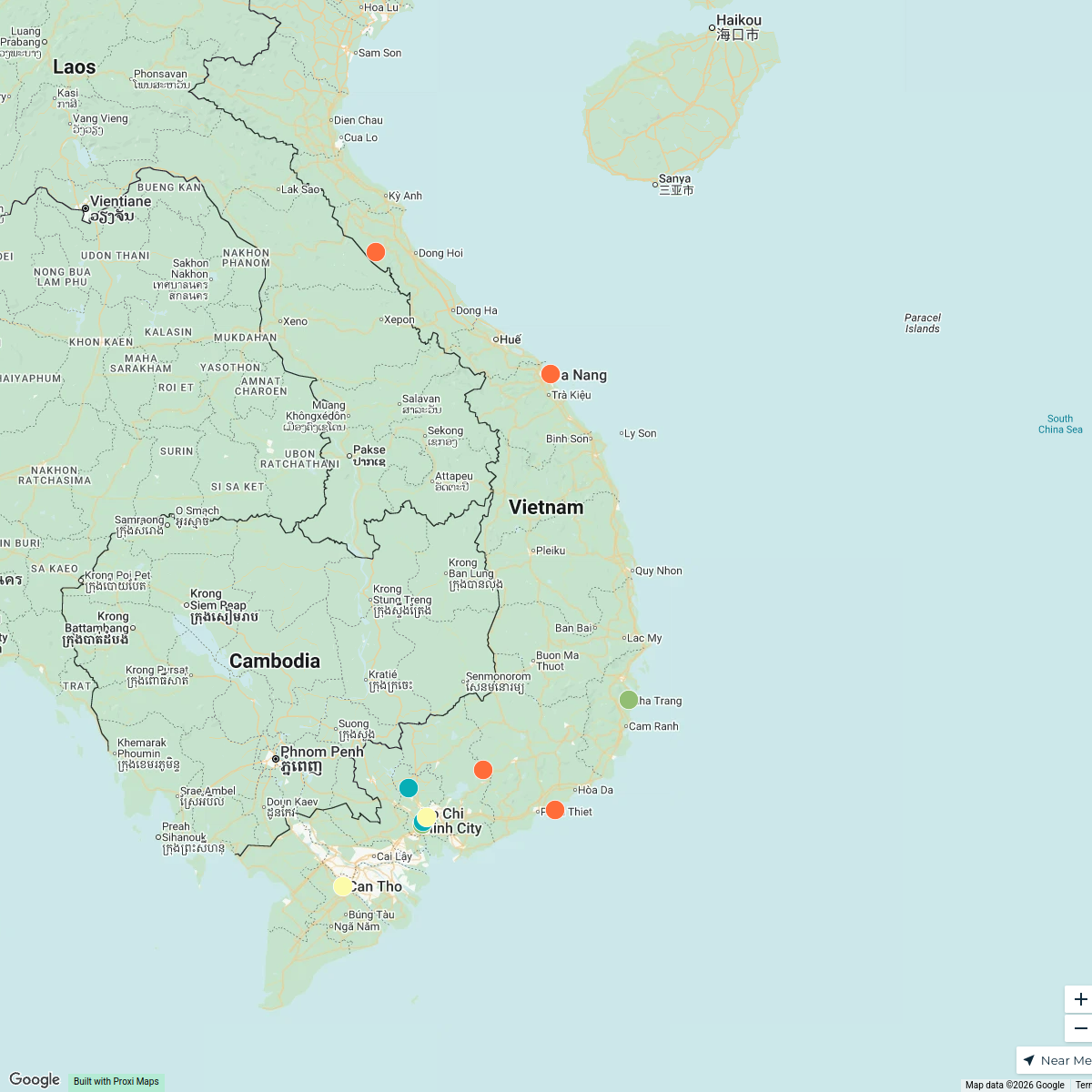
Vietnam Pollution Map
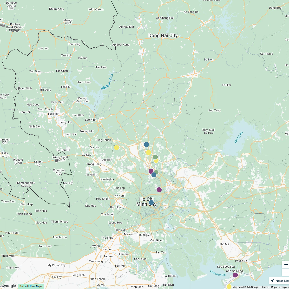
15 stops · VietnamLinh ttufyfhfuguy's WorkspaceAir Quality Map for Bình Dương & Vicinity
15 stops · Binh Duong, VietnamLinh ttufyfhfuguy's WorkspaceMy Proxi Map
23 stops · default_map_centerDenmark - FinlandCommunity Map
Hai Phong Area
3 stops · Haiphong, Hai Phong, VietnamShared by the Proxi community
This map was made with Proxi
Have a main street, a market, or a story worth walking? Make your own map in a few minutes.