
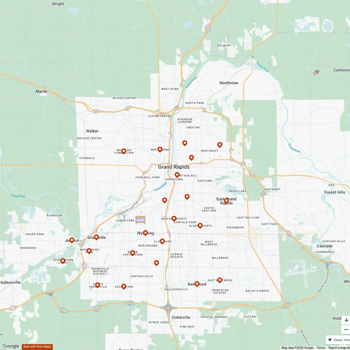
Map · 25 places · Kentwood, MI
Kentwood Community Map
A detailed community map focusing on the city of Kentwood, Michigan, showcasing local resources, parks, schools, shops, and public services to enhance community engagement and awareness.
Made with ProxiUpdated Feb 2025
- Parks 12
- Schools 10
- Fire Station 1
- Hospital 1
- Police Station 1
Places on This Map
25 places · 5 groupsNearby Maps
Beer Finder
236 stops · 506 Oakland Avenue Southwest, Grand Rapids, MI, USAchristopher@brewerynyx.com · @christopher@brewerynyx.comBed Bug Exterminators in Grand Rapids
24 stops · Grand Rapids, MI, USA bethalmoore's Workspace
Grand Rapids Wedding Venues
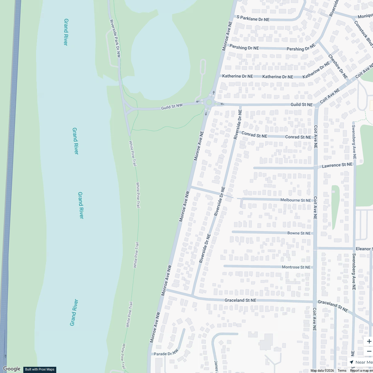
15 stops · 2001 Monroe Ave NE, Grand Rapids, MI 49505, USA Creative Capture Photography GR's Workspace
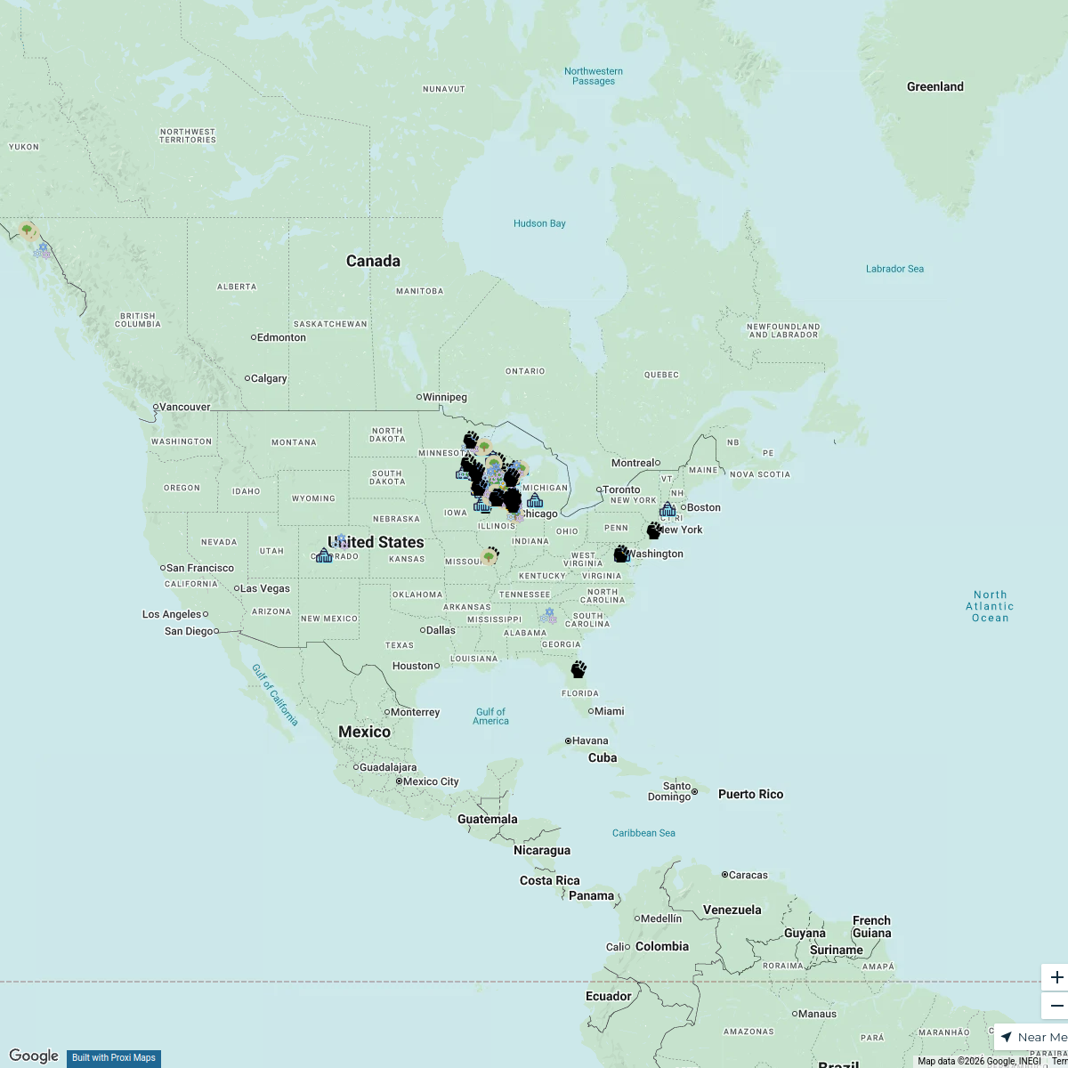
The Atlas Project (Official Map)
326 stops Gaia Coalition Network (GCN)
Flat Nancy Field of Dreamers PMQ
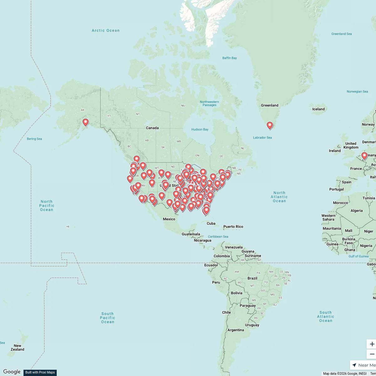
707 stops · Chesterfield, MO, USAKimberly Moos's WorkspaceCustomers
450 stopsRob Schaftenaar's Workspace

This map was made with Proxi
Have a main street, a market, or a story worth walking? Make your own map in a few minutes.