
Map · 17 places
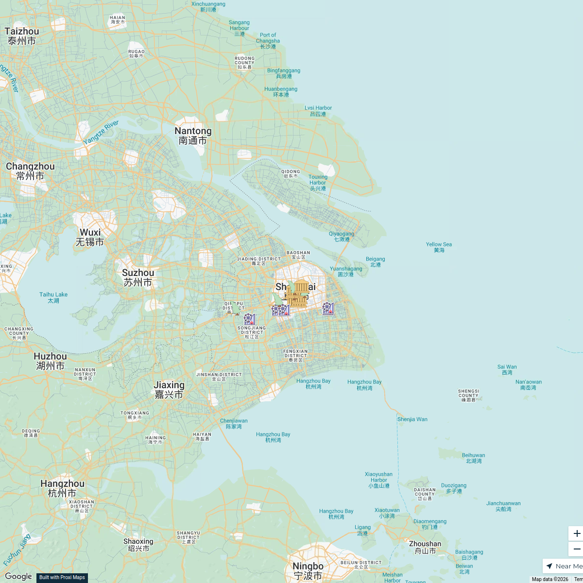
Shanghai in the 1930s
A historical map showcasing the vibrant urban landscape and cultural dynamics of Shanghai during the 1930s, highlighting key locations, streets, and neighborhoods that defined the era.
Made with ProxiUpdated Feb 2025
- Cultural Sites 4
- Commercial Areas 3
- Entertainment Venues 3
- Residential Neighborhoods 3
- Historical Landmarks 2
- Transportation Hubs 2
Places on This Map
17 places · 6 groupsNearby Maps
Child-friendly Places in Shanghai
18 stops · Shanghai, China Urion Voeltner's Workspace
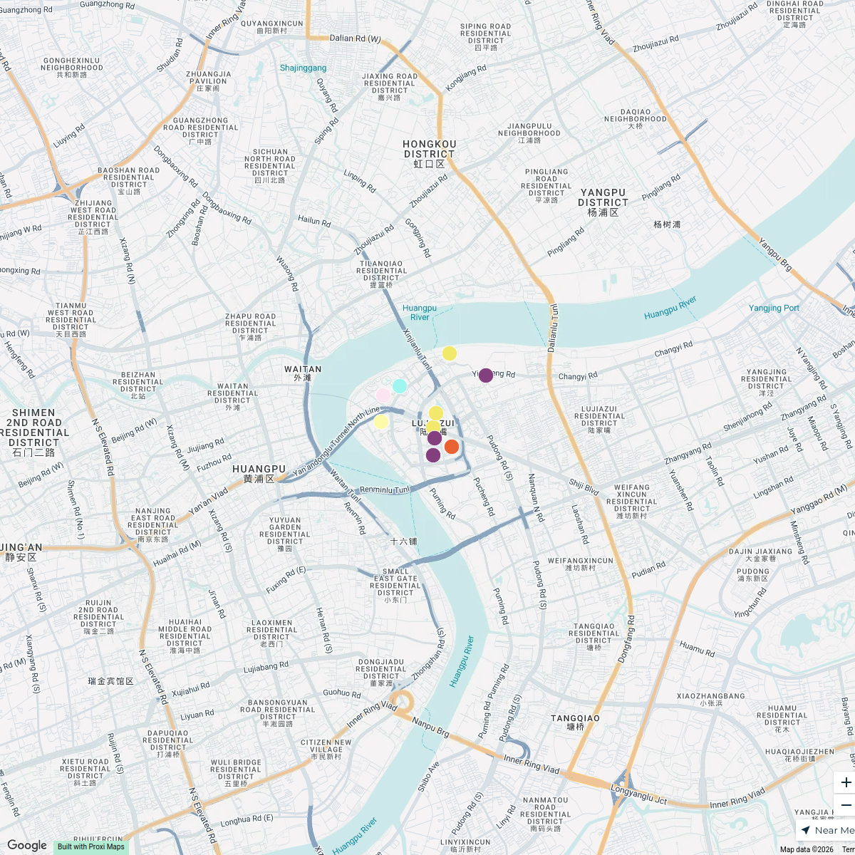
Lujiazui Highlights
15 stops · Lujiazui, Pudong, Shanghai, China TING GAO's Workspace
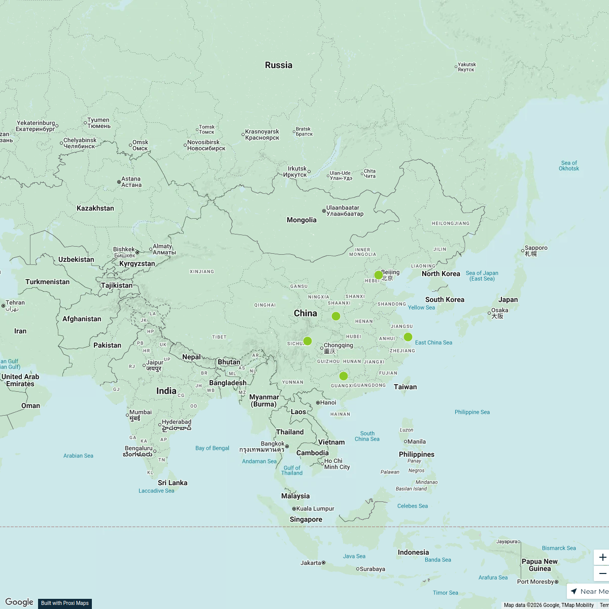
Kid-Friendly Attractions in China
5 stops · China Parna Sarkar's Workspace
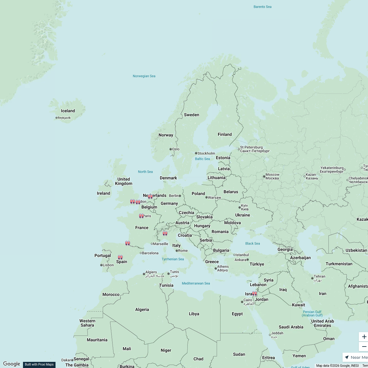
Stussy Shop Locations in Europe
25 stops · Europe, EuropaRodrigo de Oya Fernández's WorkspaceExplore Europe
116 stops · EuropeDavid Ralita's WorkspaceTRAVEL YOUR VIBE
247 stops Voyage and Vibes Team
This map was made with Proxi
Have a main street, a market, or a story worth walking? Make your own map in a few minutes.