
Map · 12 places
Mapping Diasporic Self-Emancipators (1770s–1820s)
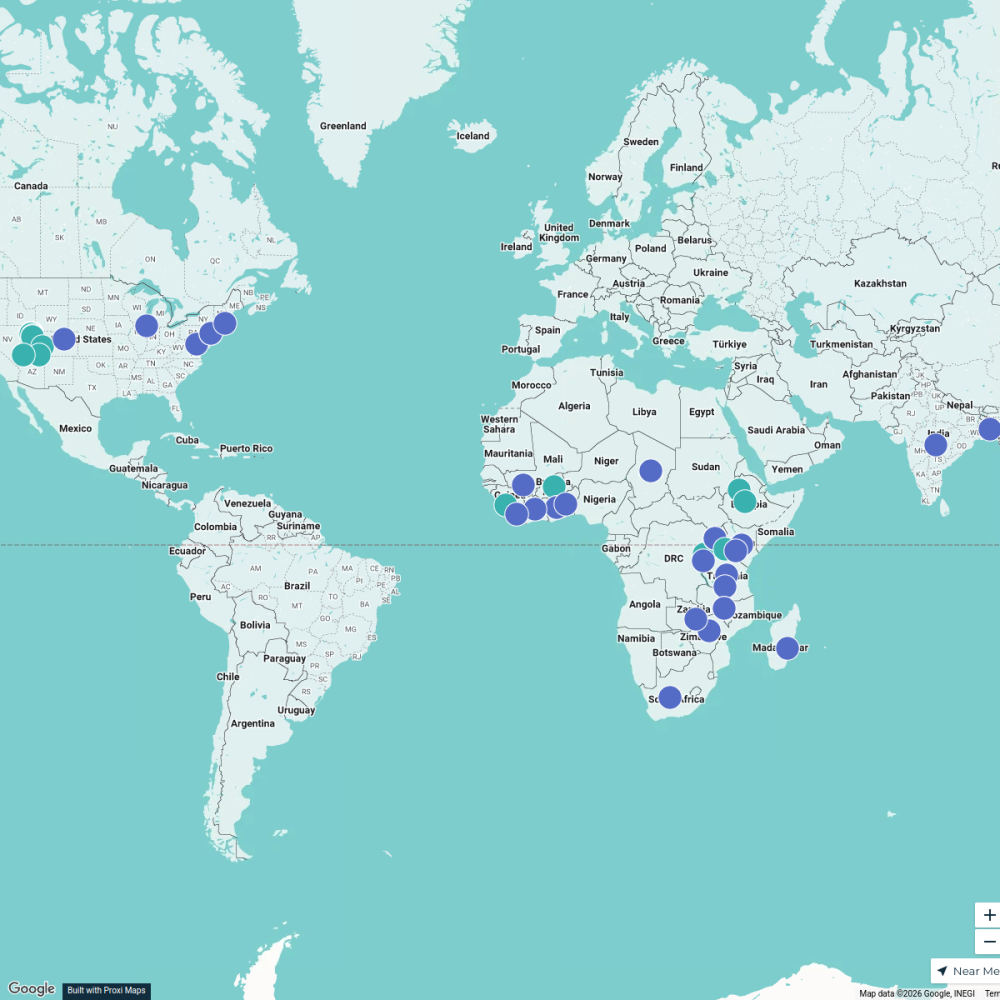
A detailed map tracing the journeys and significant locations related to the self-emancipation of diasporic individuals between the 1770s and 1820s, with a focus on Sierra Leone as a prominent hub of freedom and community for liberated individuals. The map highlights key locations, transit routes, and communities involved in the movement for emancipation during this period.
Made with ProxiUpdated Feb 2025
- Cultural Heritage 6
- Diaspora Communities 3
- Historical Sites 3
Places on This Map
12 places · 3 groupsNearby Maps
RTNF Partners Map
61 stops Erin Blackford's Workspace
Community Map
Map of West Africa
2 stops · Sierra LeoneShared by the Proxi communityCommunity Map
Hometown, Sierra Leone Map
5 stops · Sierra LeoneShared by the Proxi communityCommunity Map
Historical Sites in 16th Century West Africa
15 stops · West AfricaShared by the Proxi community Community Map
OTEC MAP
103 stops · São Tomé and PríncipeShared by the Proxi communityCommunity Map
Atlantic Ocean Region
15 stops · Atlantic OceanShared by the Proxi community
This map was made with Proxi
Have a main street, a market, or a story worth walking? Make your own map in a few minutes.