
Map · 12 places · Los Banos, CA
Map
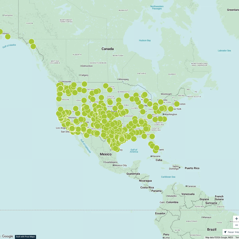
A detailed map focusing on the Pacific Flyway, highlighting key birdwatching spots including The Bird Ranch at San Luis Creek. This map serves as a resource for bird enthusiasts looking to explore avian habitats along this vital migratory route.
Made with ProxiUpdated Feb 2025
- Wildlife Refuges 11
- Bird Watching Areas 1
Places on This Map
12 places · 2 groupsNearby Maps
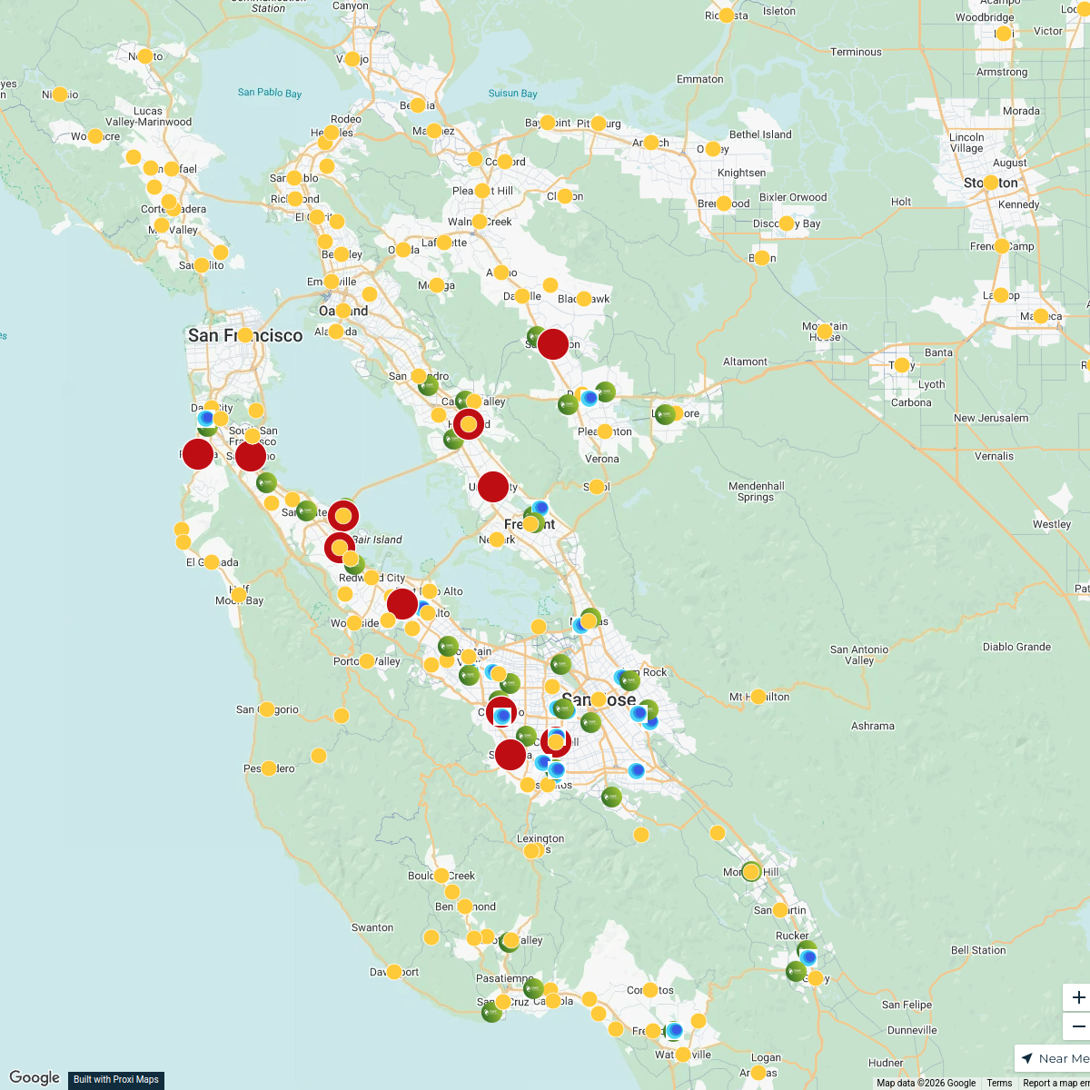
Bay Area Phlebotomy Heat Map
558 stops liz.leroux's Workspace
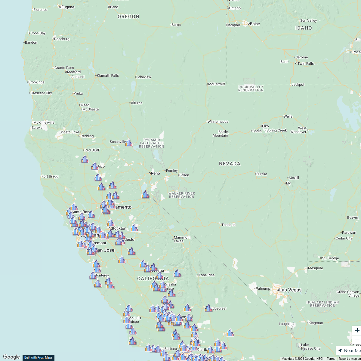
PLNU SOE Map
268 stops Jennifer Kritsch's Workspace
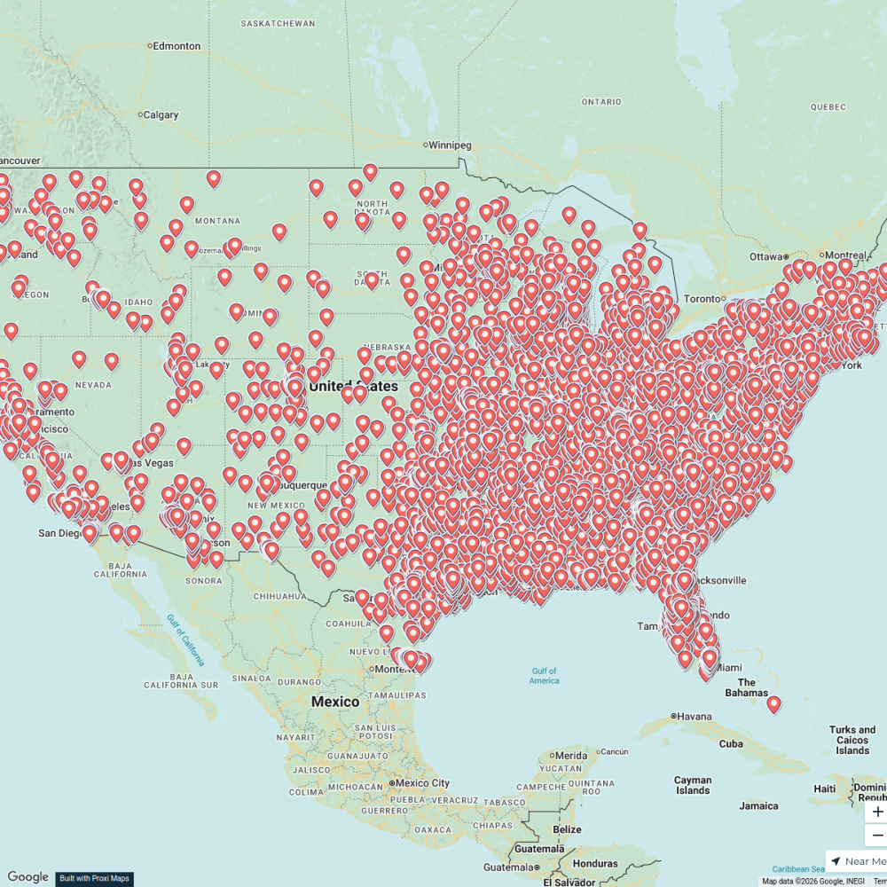
Free Places To Park Your RV
5499 stops · USAAndrew Swinney's WorkspaceCML Project Map
1301 stops · United States Andrea Lucero 's Workspace
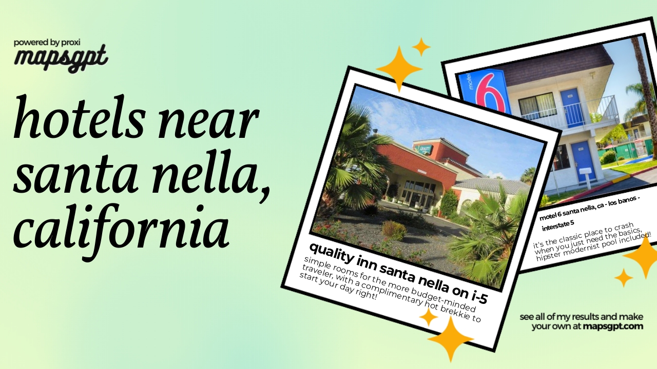 Community Map
hotels near Santa Nella, California
4 stops · Santa Nella, CA 95322, USAShared by the Proxi community Community Map
bars near Santa Nella, California
3 stops · Santa Nella, CA 95322, USAShared by the Proxi community
This map was made with Proxi
Have a main street, a market, or a story worth walking? Make your own map in a few minutes.