
Map · 15 places
Ahmednagar Area Overview
Explore schools, colleges, hospitals, shopping, and transportation hubs in the lively city of Ahmednagar, because knowledge means knowing where to find the nearest chai!
Made with ProxiUpdated Feb 2025
- Colleges 5
- Schools 4
- Hospitals 3
- Bus Stations 2
- Highways 1
Places on This Map
15 places · 5 groupsNearby Maps
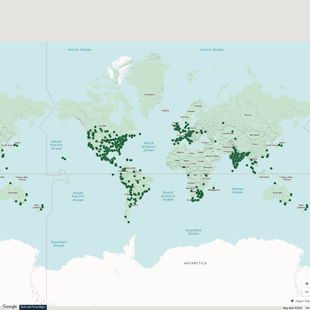
City Nature Challenge 2024 cities
714 stops ajaecker's Workspace
New Joiners’ Homes, Hops & Horizons
58 stops · USA, United States asianpaintsppglinkedin's Workspace
Community Map
Central Ahmednagar
16 stops · 3PMX+JC4, Kanade Mala Rd, M.I.R.C Ahmednagar, Ahilya Nagar, Maharashtra 414001,Shared by the Proxi communityCommunity Map
Mujumdar & Beyond
7 stops · Ahmadnagar, Maharashtra, IndiaShared by the Proxi communityCommunity Map
Premdan Hotel Map
9 stops · Ahmednagar, Maharashtra, IndiaShared by the Proxi communityCommunity Map
Medieval Era history in Ahmednagar
6 stops · Ahmednagar, Maharashtra, IndiaShared by the Proxi community
This map was made with Proxi
Have a main street, a market, or a story worth walking? Make your own map in a few minutes.