
Map · 6 places
Historical and Physical Factors Shaping Sri Lanka's Borders
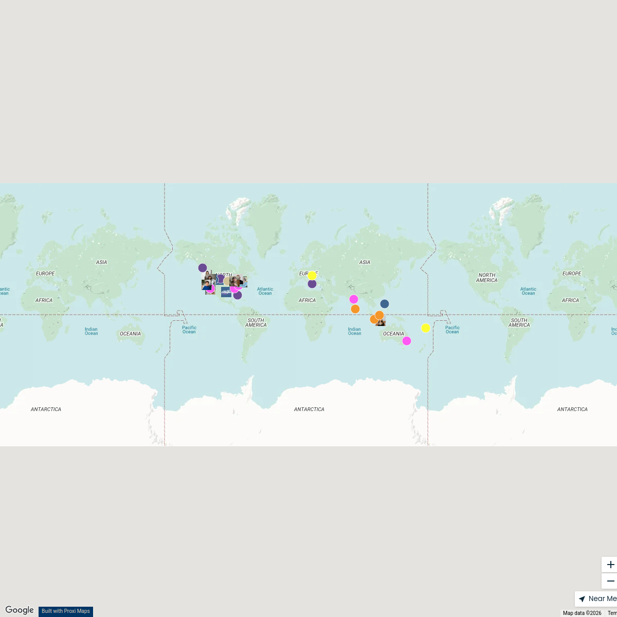
This map of Sri Lanka highlights the historical and physical landscape factors that have influenced the country's borders. It features annotated sections that explain geographical features such as rivers and mountains, as well as historical factors like colonial impacts and ancient kingdoms. Understanding these elements provides insight into why the borders of Sri Lanka are shaped as they are, and how history and geography interplay in this island nation.
Made with ProxiUpdated Feb 2025
- Colonial History 2
- Cultural Regions 2
- Geographical Features 1
- Historical Factors 1
Places on This Map
6 places · 4 groupsNearby Maps
Seek Discomfort Adventure Map
974 stops Seek Discomfort's Adventure Map
Tourist Attractions in France
328 stops anders.winroth's Workspace
Cultural Diversity at oOh!
125 stops evan.lau's Workspace
THRIVE 2025
28 stops World Changer's Workspace
✨ World Changers Directory 🌎
51 stopsWorld Changer's WorkspacePin Your Heart
425 stops · Europe Voluson Performance

This map was made with Proxi
Have a main street, a market, or a story worth walking? Make your own map in a few minutes.