
Map · 21 places · Hartford, CT
Hartford Neighborhoods Map
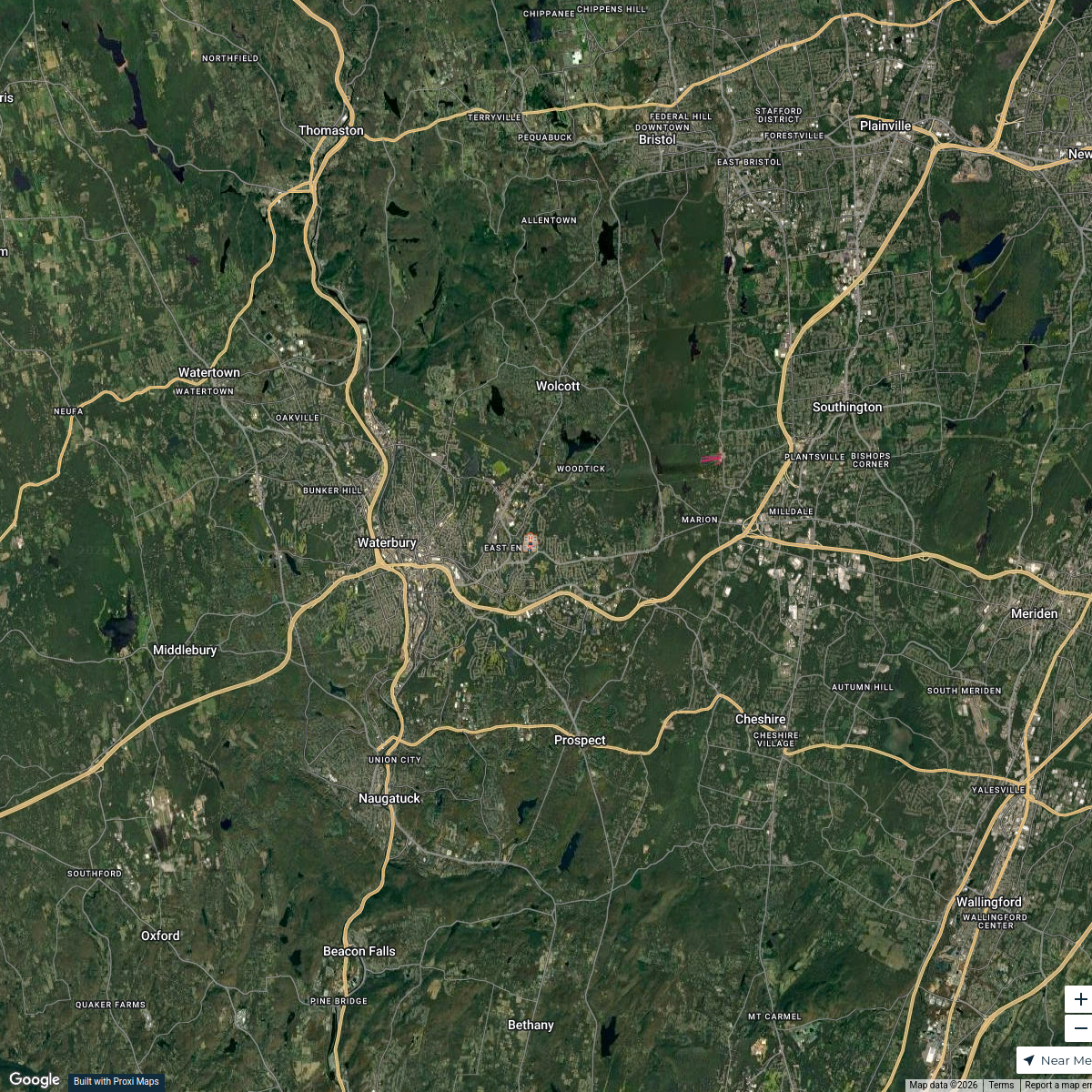
This map focuses on the neighborhoods and key areas within Hartford, CT, providing users with detailed insights on local amenities, historical spots, and community resources around 65 Elm Street.
Made with ProxiUpdated Feb 2025
- Shopping Centers 4
- Historical Sites 3
- Parks and Recreation 3
- Public Transportation 3
- Restaurants 3
- Healthcare Facilities 2
- Residential Areas 2
Places on This Map
21 places · 7 groupsNearby Maps
Wethersfield Home Care Resources
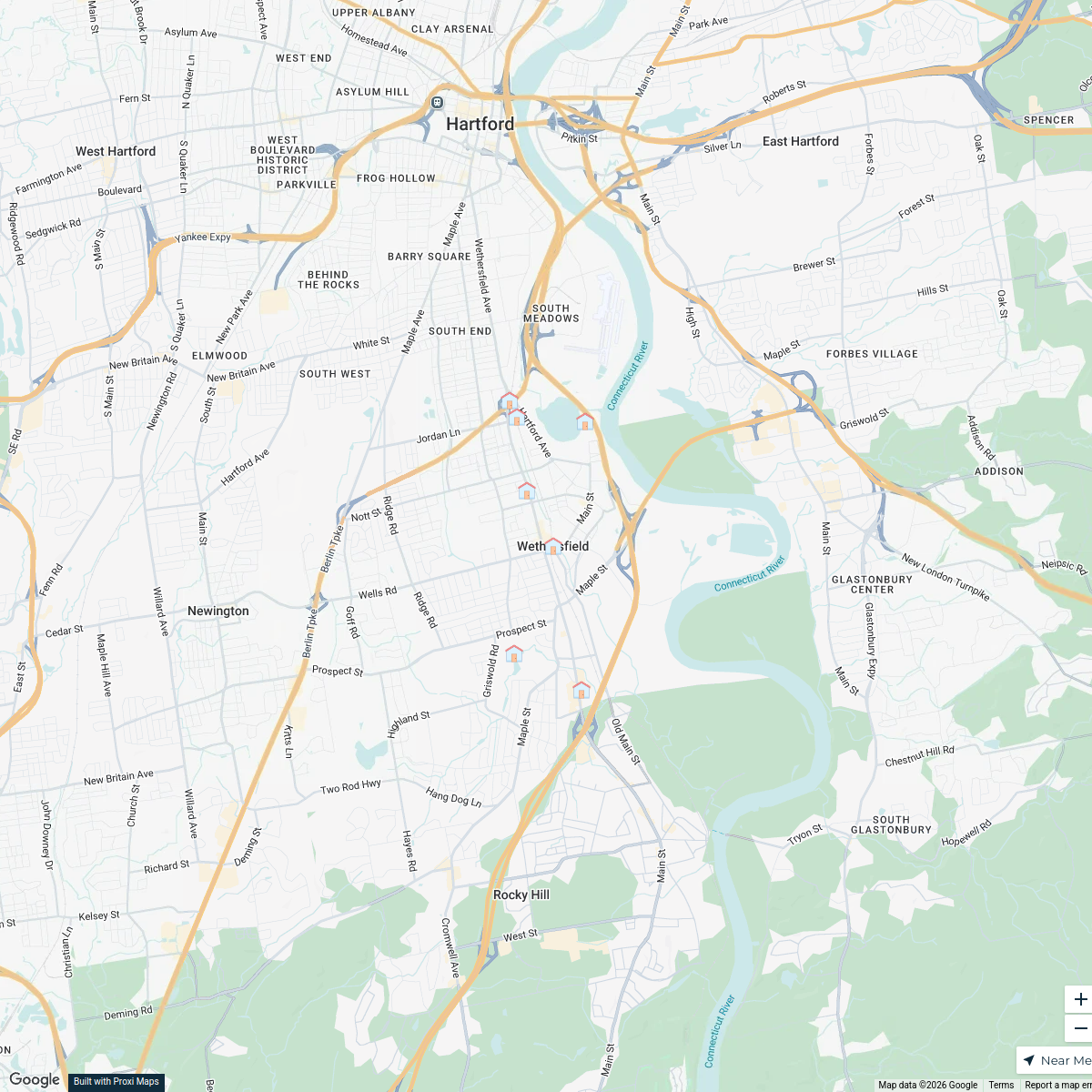
9 stops · Wethersfield, CT, USA Elizabeth Vaca-Ranieri's Workspace
Avon Home Care Services
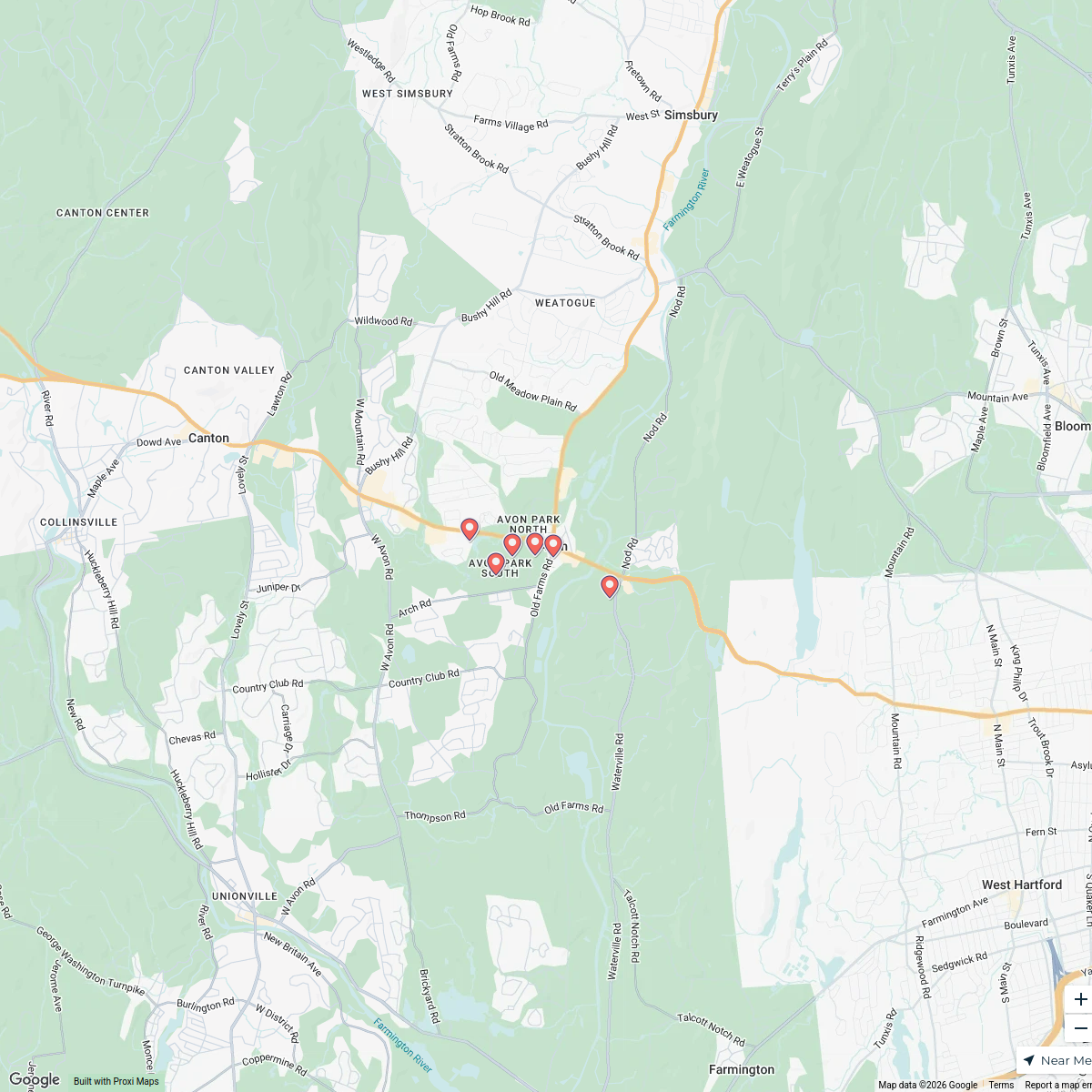
8 stops · Avon, CT, USAElizabeth Vaca-Ranieri's WorkspaceHome Care Services in New Britain, CT
10 stops · New Britain, CT, USAElizabeth Vaca-Ranieri's WorkspaceFree Museums and Culture in CT
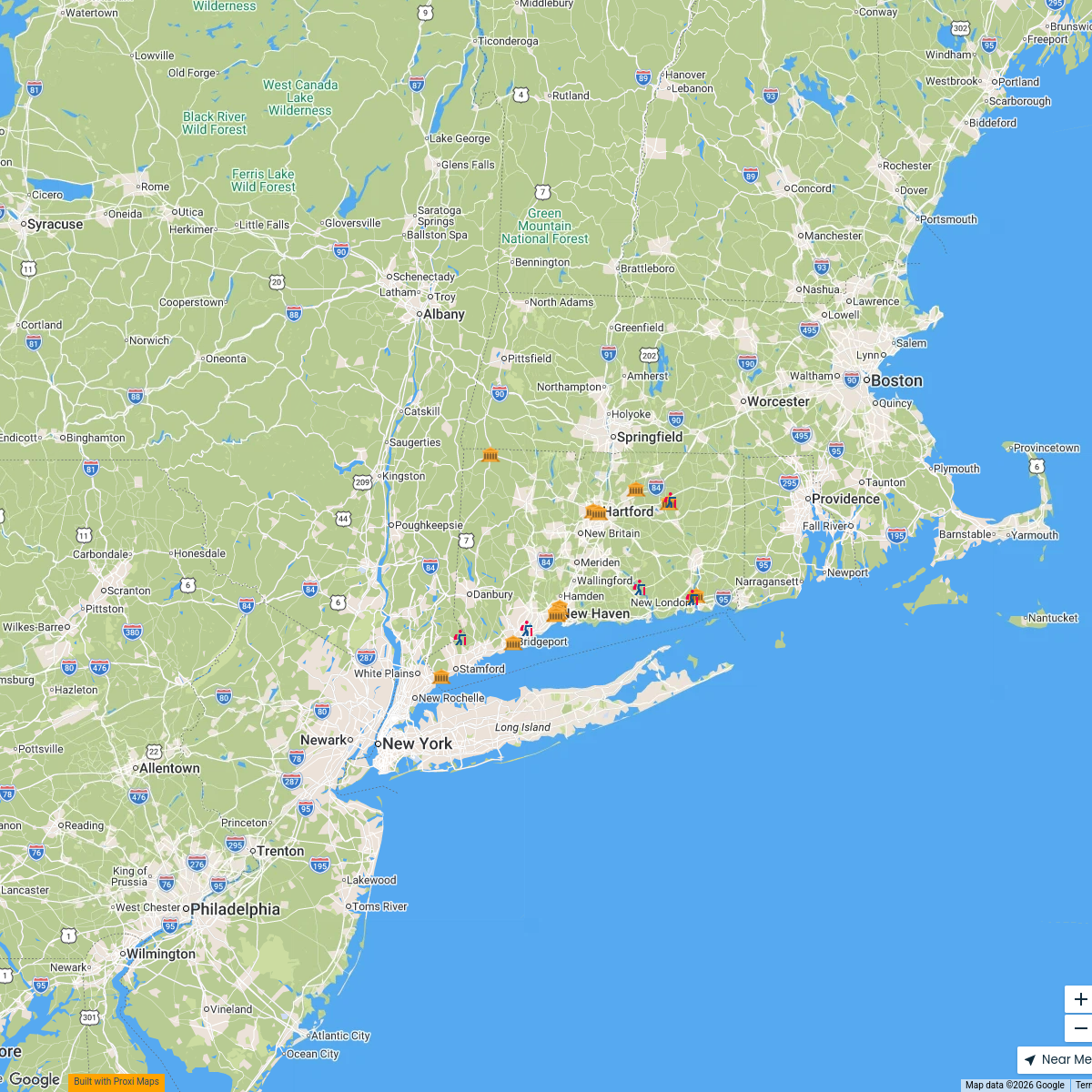
19 stops Travel Like Jess
Dramatic Paws Map
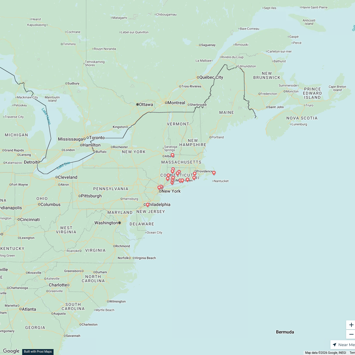
29 stops Kaitlyn Salvatore's Workspace
Waterbury, CT Overview
5 stops jamiewright.2013jw's Workspace

This map was made with Proxi
Have a main street, a market, or a story worth walking? Make your own map in a few minutes.