
Map · 9 places
Ellenbrook Kid-Friendly Map
An interactive street map of Ellenbrook, WA designed specifically for students and families. This map highlights parks, schools, playgrounds, and other kid-friendly locations with strong detail and realistic mapping features.
Made with ProxiUpdated Jan 2025
- Parks 5
- Community Centers 2
- Transportation Hubs 1
Places on This Map
9 places · 3 groupsNearby Maps
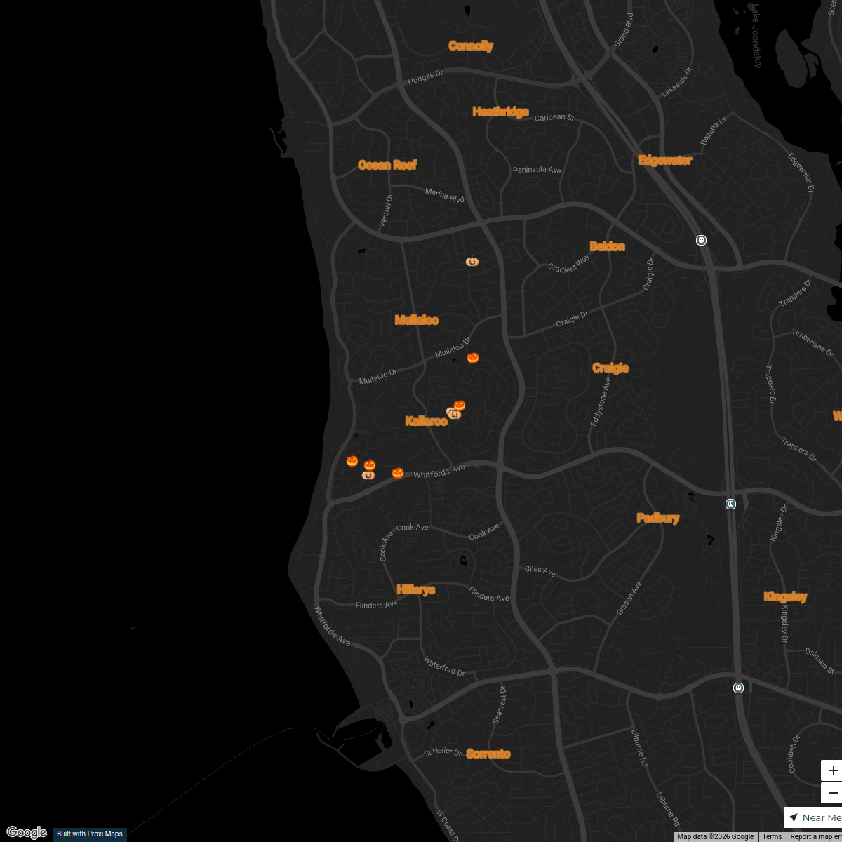
Halloween 2025 in Kallaroo
9 stops · Kallaroo, Kallaroo WA 6025, Australia nicolette.howton's Workspace
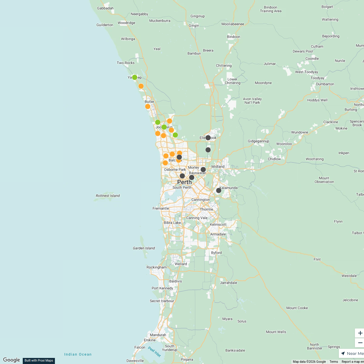
Perth WA Catchment Area
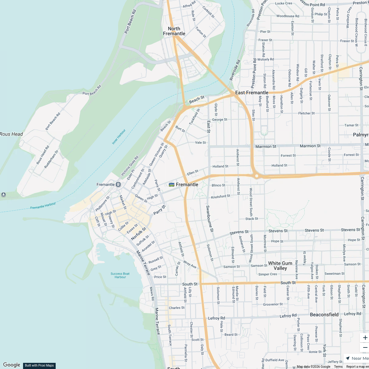
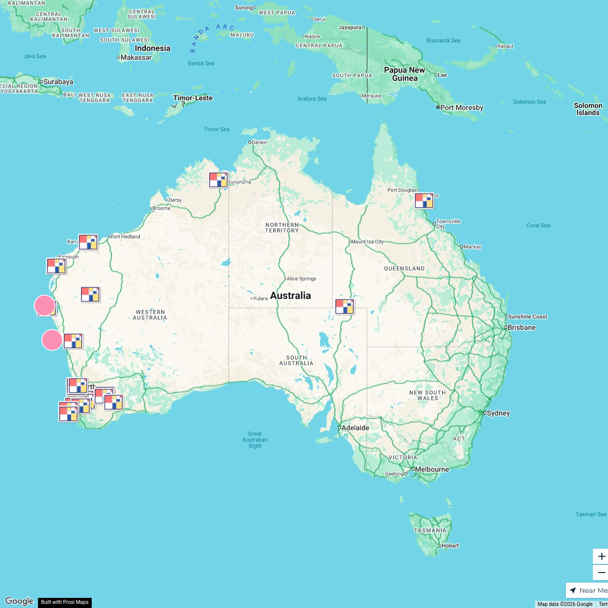
27 stops · Perth WA, Australianford's WorkspaceFremantle Transport Hub
12 stops · Fremantle, Fremantle WA 6160, Australia Emma Polain's Workspace
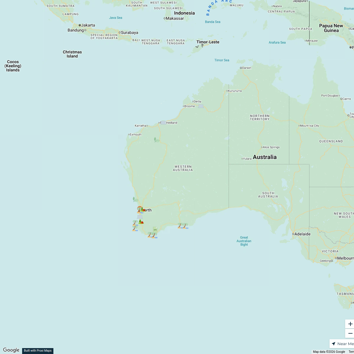
Western Australia Van Trip
25 stops · Western Australia, Australiaclaudia.dempsey28's WorkspaceRolling Stills Art Trail
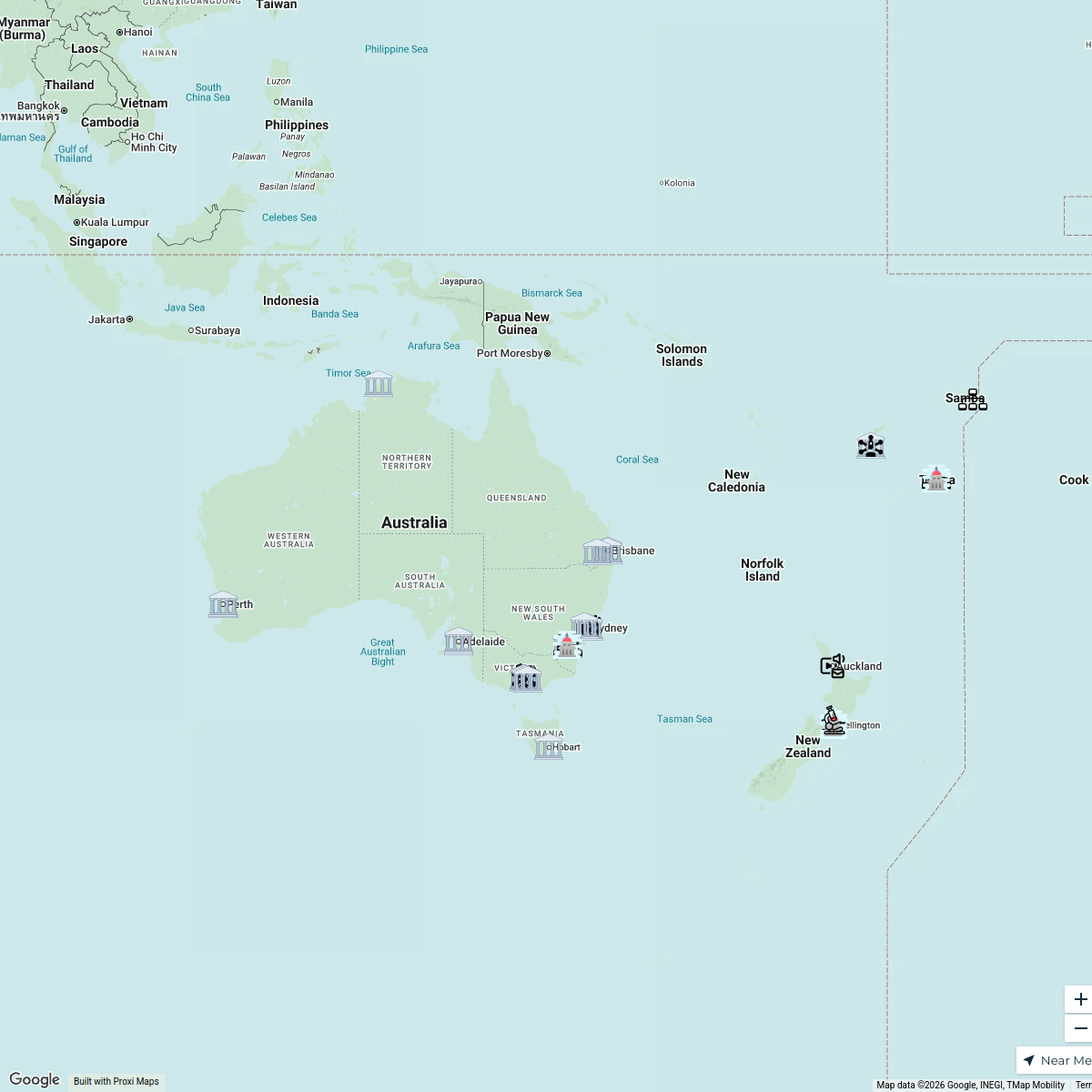
27 stopsjacob's WorkspaceInformation Integrity Network
46 stopsUNIC Mapping's Workspace
This map was made with Proxi
Have a main street, a market, or a story worth walking? Make your own map in a few minutes.