
Map · 25 places
Borsele Emergency and Infrastructure Map
A detailed map focusing on the locations of emergency services, critical infrastructure, civilian infrastructure, nuclear facilities, and municipalities in and around Borsele, Netherlands. This map is essential for understanding the resources and preparedness in the region, especially in the context of a nuclear crisis.
Made by Jordan Jehezkiel's WorkspaceUpdated Jan 2025
- Civilian Infrastructure 12
- Critical Infrastructure 5
- Emergency Services 2
- Nuclear Facilities 2
- Public Safety 2
- Crisis Response 1
- Municipalities 1
Places on This Map
25 places · 7 groupsNearby Maps
Balzac Grooming Location Map
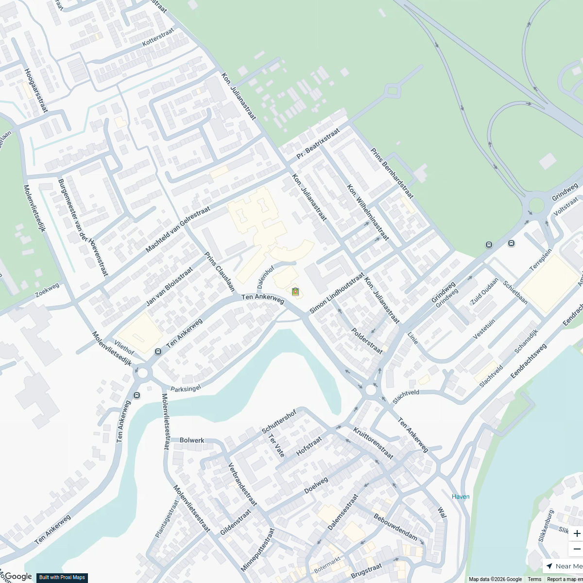
1 stop · Simon Lindhoutstraat 1, 4691 GA Tholen, Netherlands balzacgrooming's Workspace
Grand Tour Netherlands
304 stops Peter Lakeman's Workspace
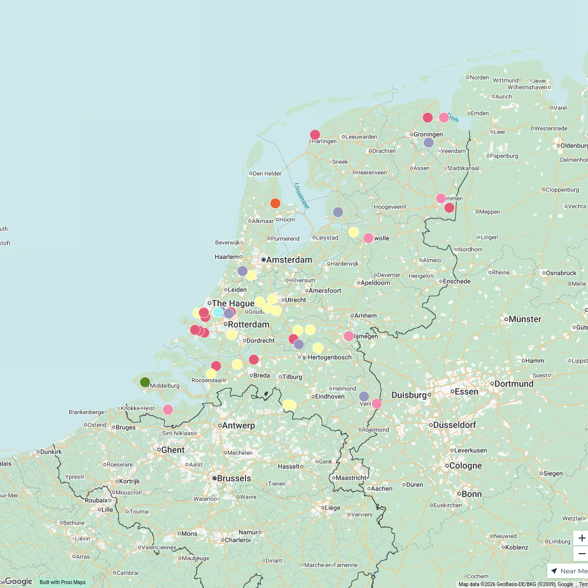
Places in and around the Netherlands
44 stops · Netherlands Karoliina Moberg's Workspace
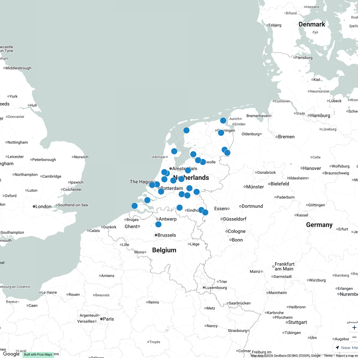
Places in The Netherlands
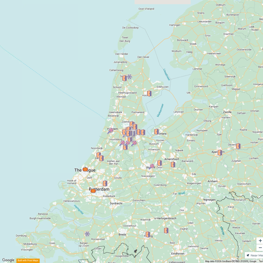
30 stops · NetherlandsKaroliina Moberg's WorkspaceNL Halloween Trick-Or-Treat
166 stops · Amsterdam, Netherlands meek606's Workspace
MSD Haarlem worldmap
108 stops · Amsterdam, Netherlandswilmar.tigchelaar's Workspace

This map was made with Proxi
Have a main street, a market, or a story worth walking? Make your own map in a few minutes.