
Map · 9 places
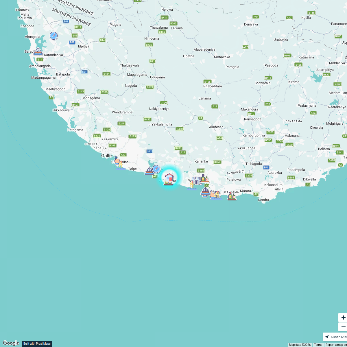
Flood Impact Map: Ratnapura Town
This map provides an overview of the flood-affected regions in Ratnapura Town, Sri Lanka, highlighting key areas that experienced significant water accumulation and damage during recent flooding events.
Made with ProxiUpdated Jan 2025
- Community Resources 3
- Public Health Risks 3
- Emergency Services 2
- Infrastructure Damage 1
Places on This Map
9 places · 4 groupsNearby Maps
Hidden Gems of Sri Lanka
24 stops Łukasz Koziarski's Workspace
Seek Discomfort Adventure Map
974 stops Seek Discomfort's Adventure Map
Community Map
Kalawana National School Area
5 stops · Kalawana National School, GCP2+5C6, Kalawana, Sri LankaShared by the Proxi communityCommunity Map
Kalawana Highlights
15 stops · Kalawana, Sri LankaShared by the Proxi communityCommunity Map
Explore Kalawana
1 stop · Kalawana, Sri LankaShared by the Proxi communityCommunity Map
Kalawana, Sri Lanka Highlights
15 stops · Kalawana, Sri LankaShared by the Proxi community
This map was made with Proxi
Have a main street, a market, or a story worth walking? Make your own map in a few minutes.