
Map · 18 places
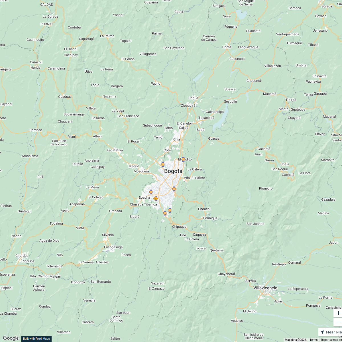
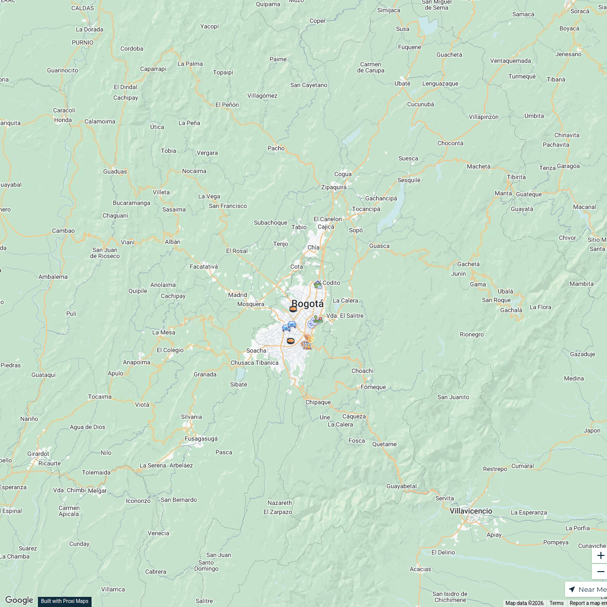
Streets of Bogotá
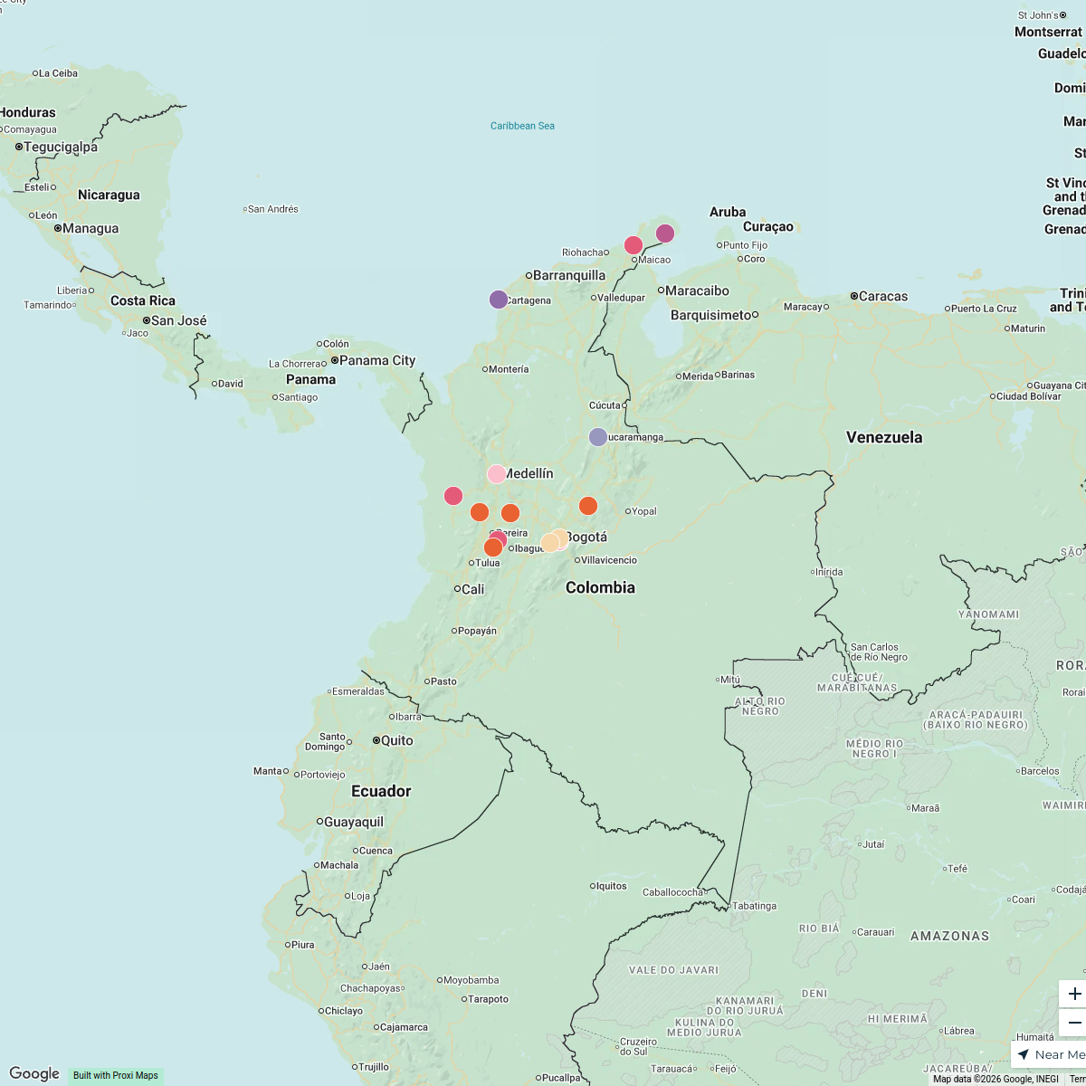
A detailed map showcasing the streets and roadways of Bogotá, Colombia, providing an overview of the city's layout and key transportation routes.
Made with ProxiUpdated Jan 2025
- Landmarks 4
- Commercial Areas 3
- Parks and Recreation 3
- Public Services 3
- Transportation 3
- Residential Areas 2
Places on This Map
18 places · 6 groupsNearby Maps
Refugios de Mujeres Negras en Bogotá
8 stops · Bogotá, Colombia AMB
Meta in Bogotá
15 stops · Bogotá, Colombiaangelramirezcaviedes1988's WorkspaceColombia Attractions
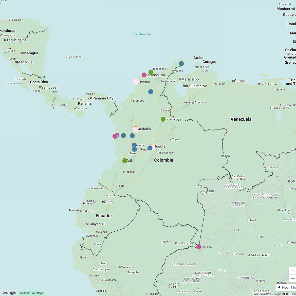
33 stops · ColombiaAbdul Afees Saadudeen's WorkspacePlaces of Interest in Northern Colombia
16 stops · ColombiaAbdul Afees Saadudeen's WorkspaceColombia Highlights
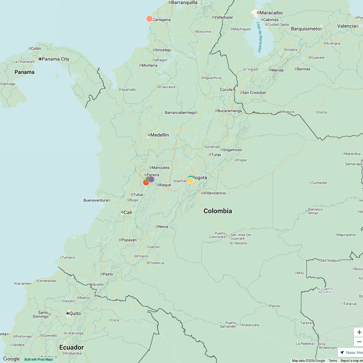
16 stops · ColombiaAbdul Afees Saadudeen's WorkspaceColombia Airports and Cities
8 stops · ColombiaAbdul Afees Saadudeen's Workspace
This map was made with Proxi
Have a main street, a market, or a story worth walking? Make your own map in a few minutes.