
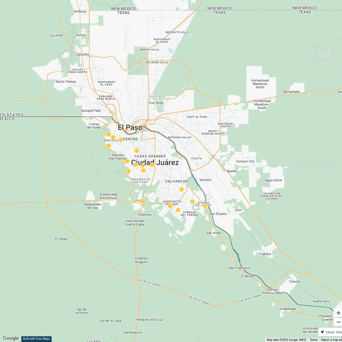
Map · 12 places · Ciudad Juárez, Chihuahua
Sociodemographic Analysis of Juárez, Chih.
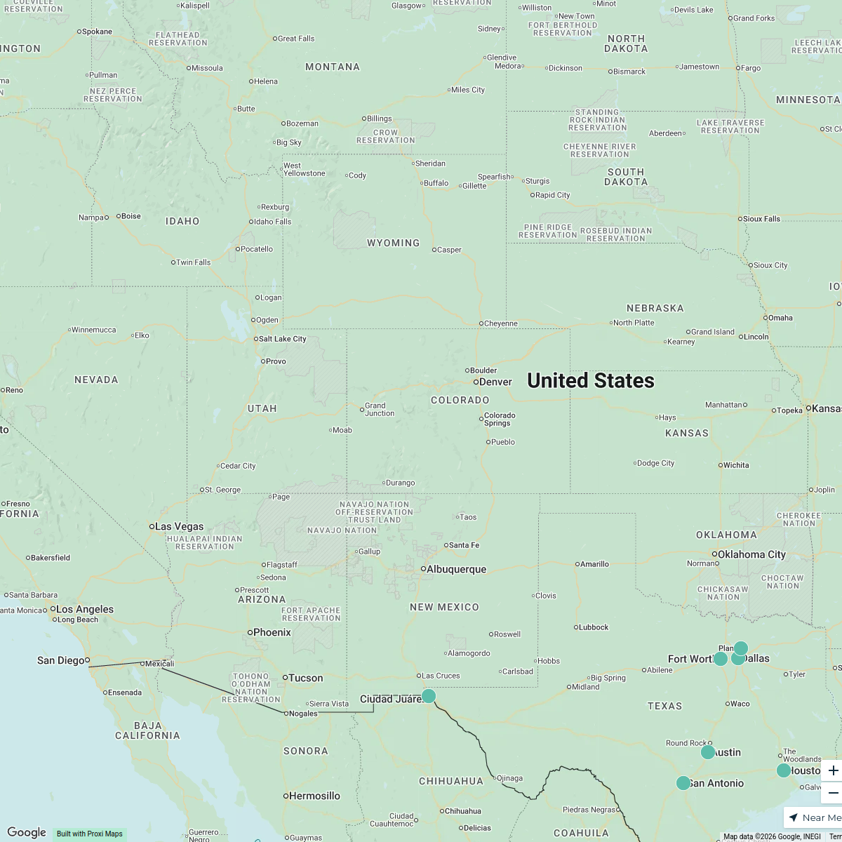
This map provides a detailed sociodemographic analysis of the districts within Juárez, Chihuahua, Mexico. It highlights population density, age distribution, income levels, and other key demographics to facilitate understanding of the region's social characteristics.
Made with ProxiUpdated Jan 2025
- Educational Attainment 4
- Population Density 3
- Employment Statistics 2
- Health Indicators 2
- Housing Characteristics 1
Places on This Map
12 places · 5 groupsNearby Maps
Centros Comunitarios en Juárez
17 stops vania_1911's Workspace
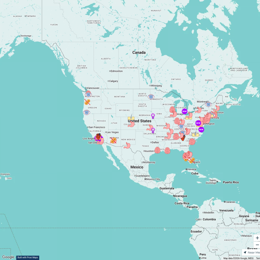
The Clinical Trials Network (CTNx)
80 stopskfutty's WorkspaceUSA Travel Destinations
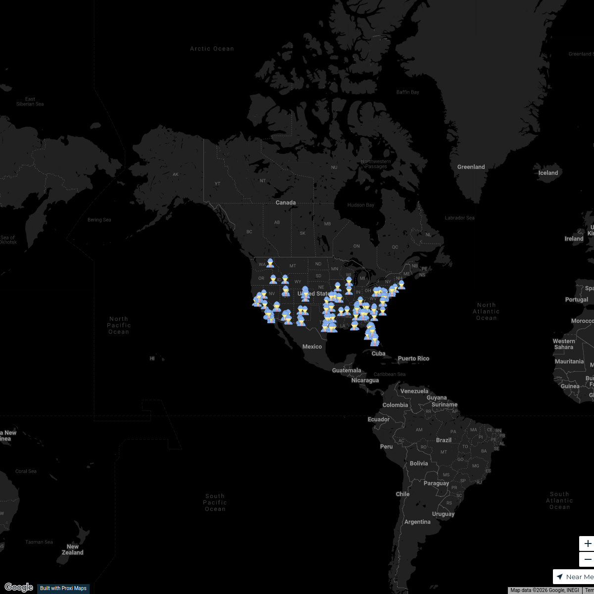
25 stops · USA, United States;lkdnaUS Technician Coverage Map
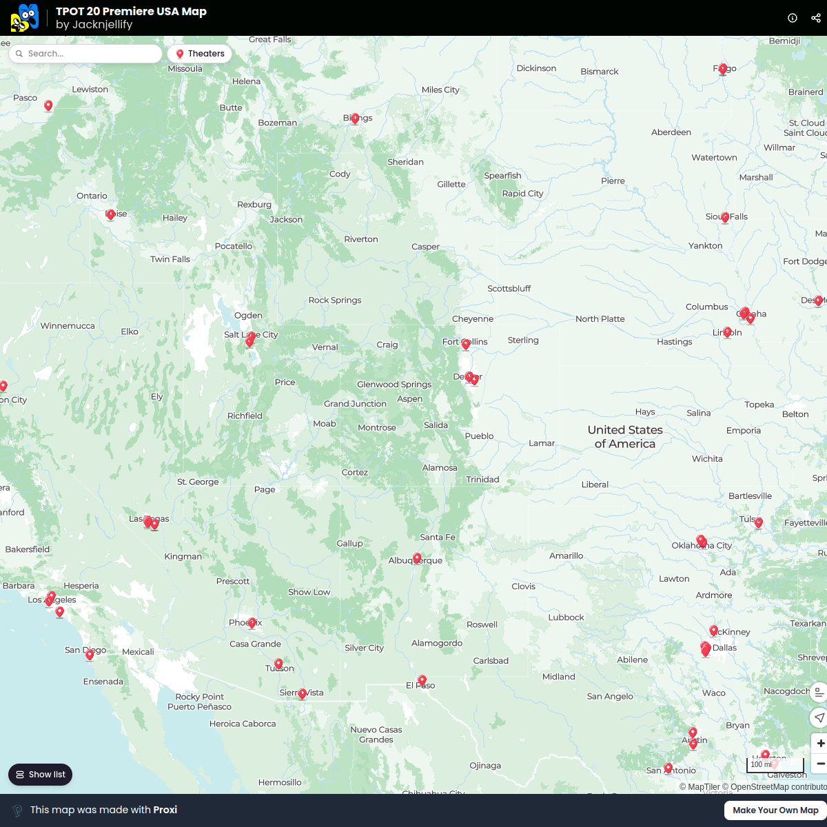
224 stops · USA, United StatesDustin Crowder's WorkspaceTPOT 20 Premiere USA Map
144 stops · USA, United States Liz McLead's Workspace
Texas Cities Map
10 stops · United States Vincent Mitschke's Workspace

This map was made with Proxi
Have a main street, a market, or a story worth walking? Make your own map in a few minutes.