
Map · 18 places
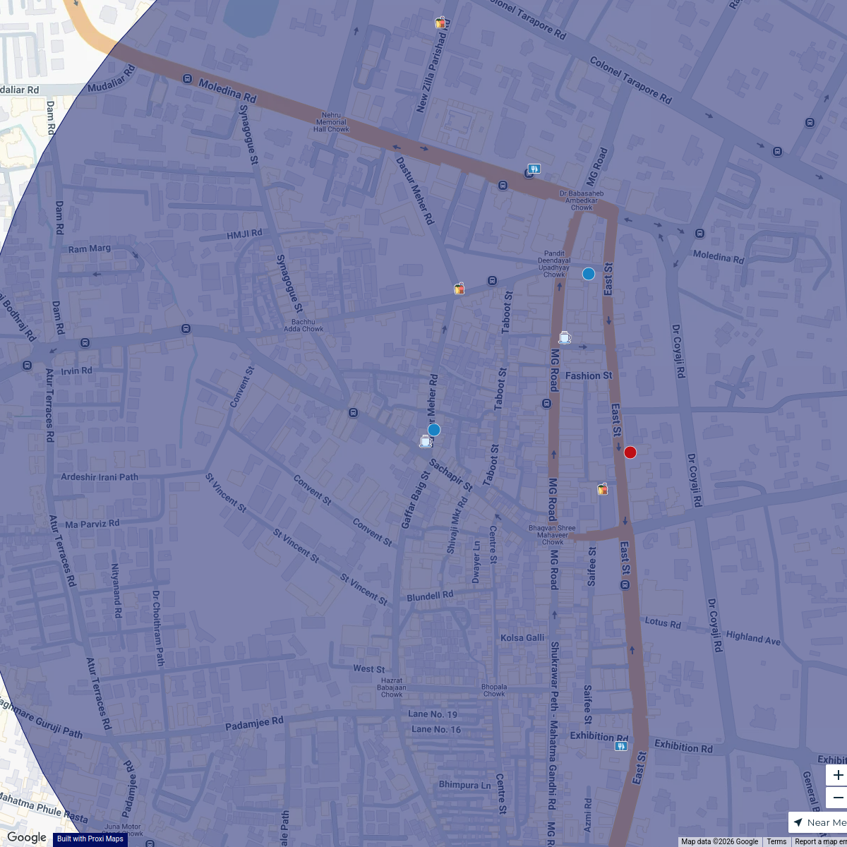
Wagholi, Pune Map
A detailed map focusing on the Wagholi area in Pune, Maharashtra, showcasing local landmarks, facilities, and points of interest.
Made with ProxiUpdated Jan 2025
- Transport Hubs 4
- Educational Institutions 3
- Healthcare Facilities 3
- Parks 3
- Restaurants 3
- Historical Sites 2
Places on This Map
18 places · 6 groupsNearby Maps
Camp Culinary Delights
14 stops JRLM
Pin Your Heart
425 stops · Europe Voluson Performance

Beer Passport Map
357 stops Lekker Passport
MSD Haarlem worldmap
108 stops · Amsterdam, Netherlands wilmar.tigchelaar's Workspace
Try Proxi For Yourself!
294 stops Chelsey's Proxi Workspace
 Community Map
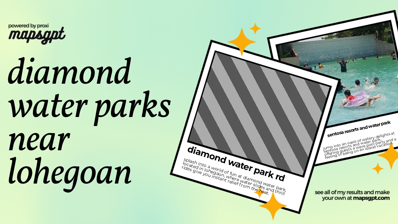
Diamond water parks near lohegoan
4 stops · Lohegaon, Pune, Maharashtra, IndiaShared by the Proxi community

This map was made with Proxi
Have a main street, a market, or a story worth walking? Make your own map in a few minutes.