
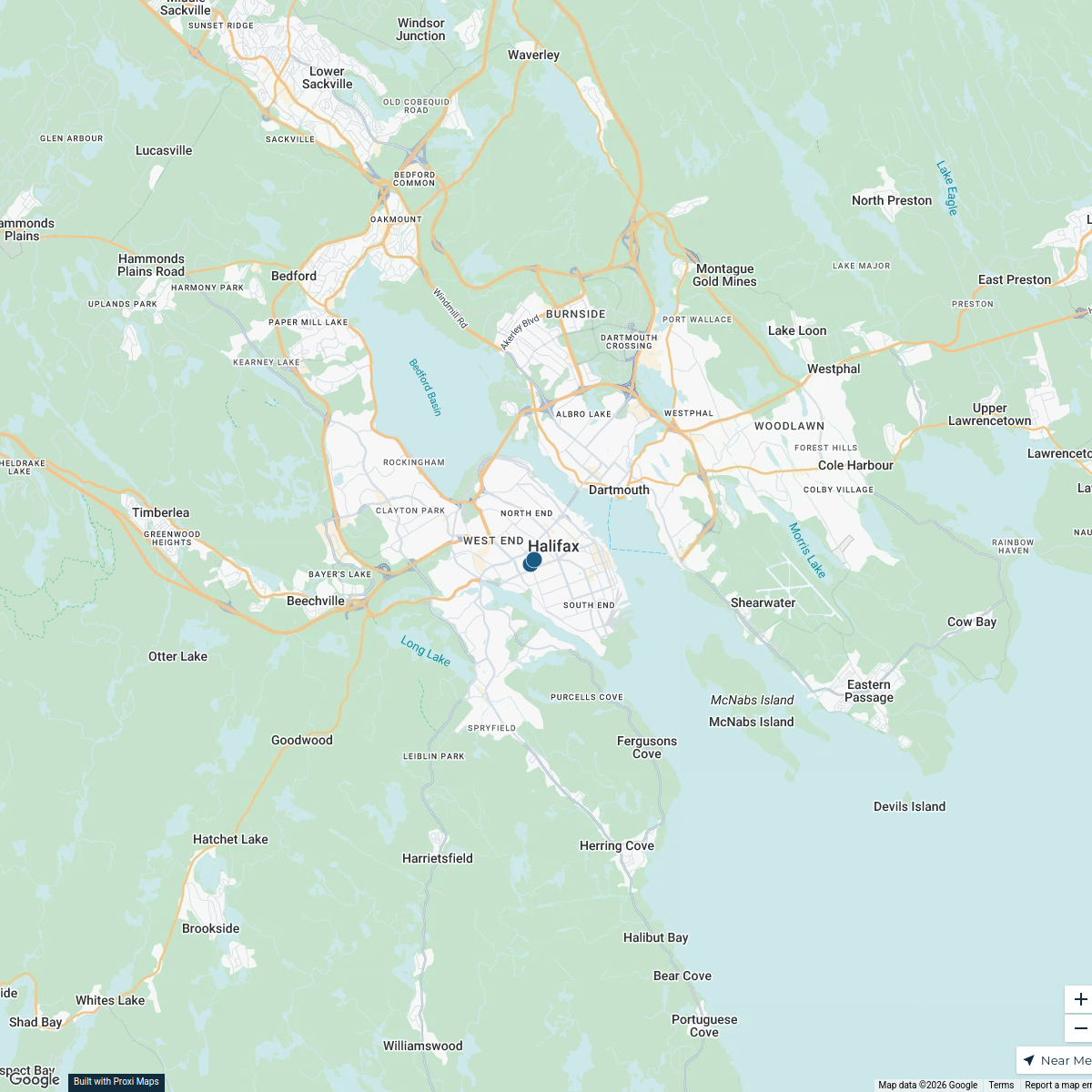
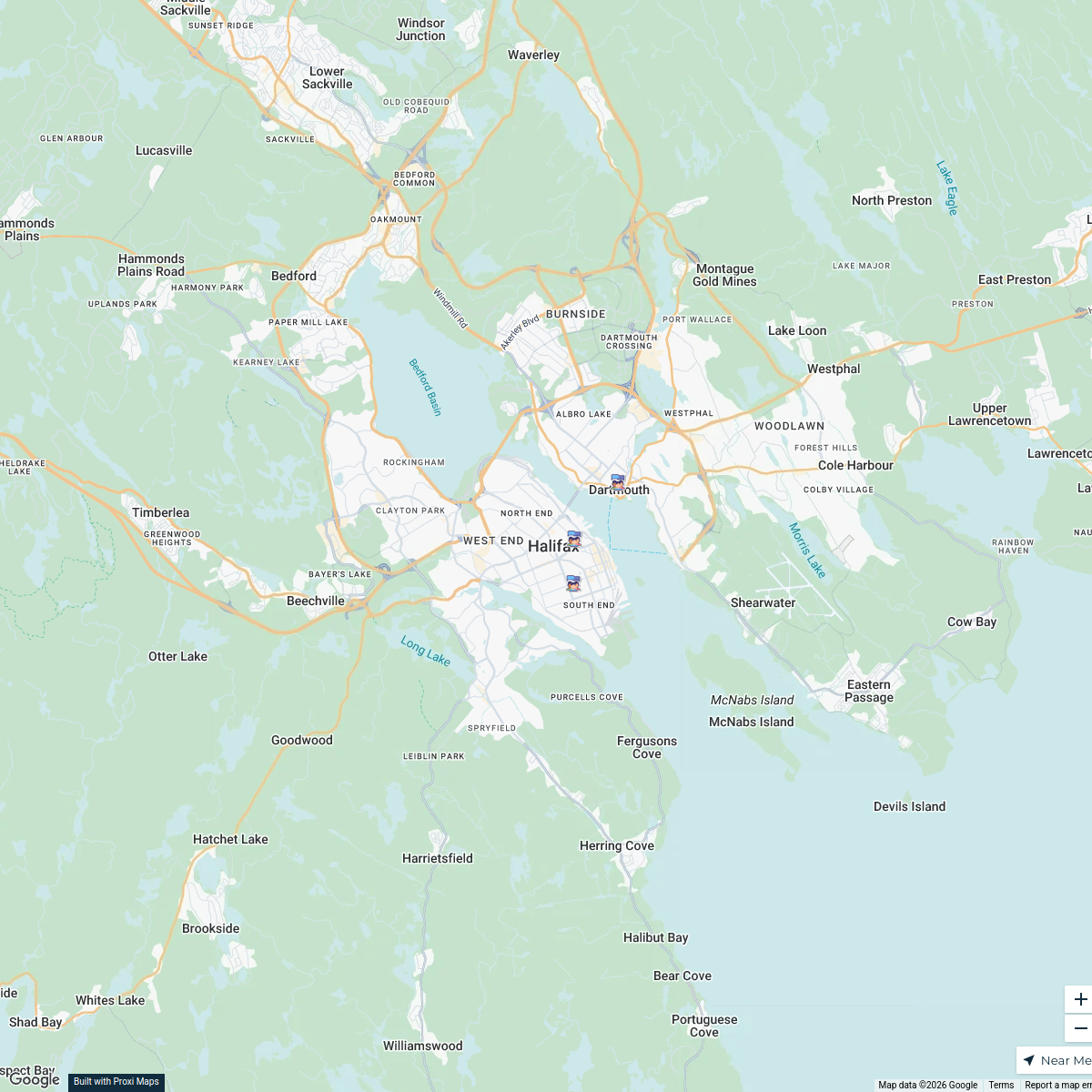
Map · 21 places · Halifax, Nova Scotia
Alberta Street Overview - Halifax
A spatial map focusing on Alberta Street in Halifax, NS, highlighting local landmarks, residential areas, and community resources within the vicinity of Halifax. This map serves to provide insight into the neighborhood's layout and features.
Made with ProxiUpdated Jan 2025
- Community Centers 4
- Parks and Recreation 4
- Landmarks 3
- Public Transportation 3
- Schools 3
- Local Businesses 2
- Residential Areas 2
Places on This Map
21 places · 7 groupsNearby Maps
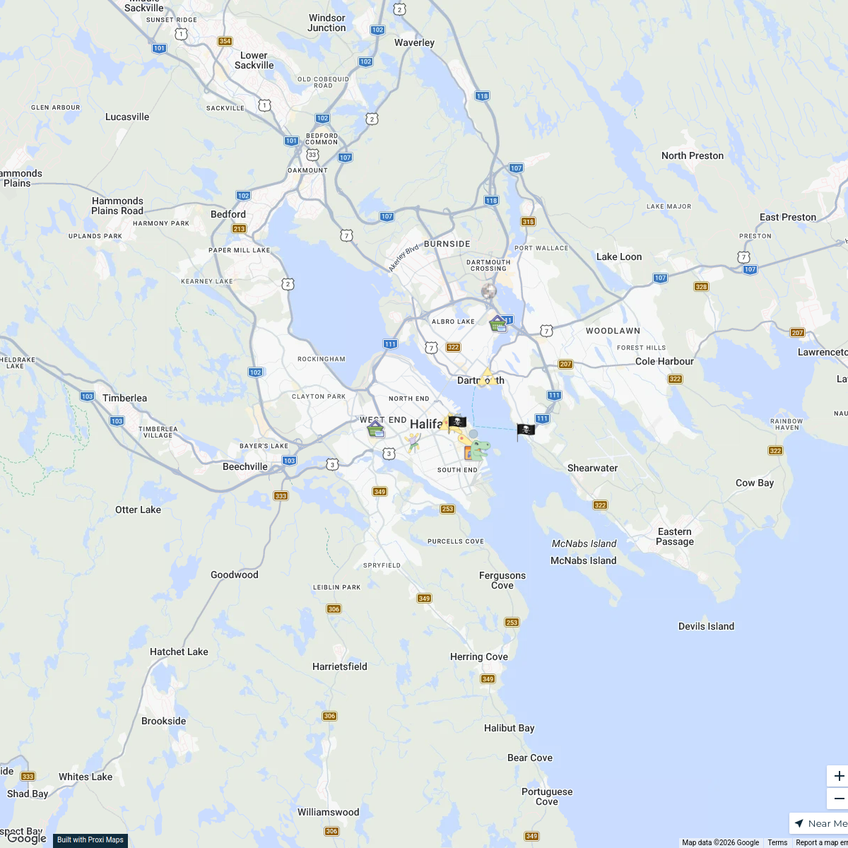
Halifax Transportation Map
2 stops · Halifax, Nova Scotia, Canada Nova Scotia By Bike's Workspace
Halifax Community Fridges
3 stops · Halifax, Nova Scotia, CanadaNova Scotia By Bike's WorkspaceHalifax Adventure Map
14 stops · Halifax, NS, Canada zoexoo_12's Workspace
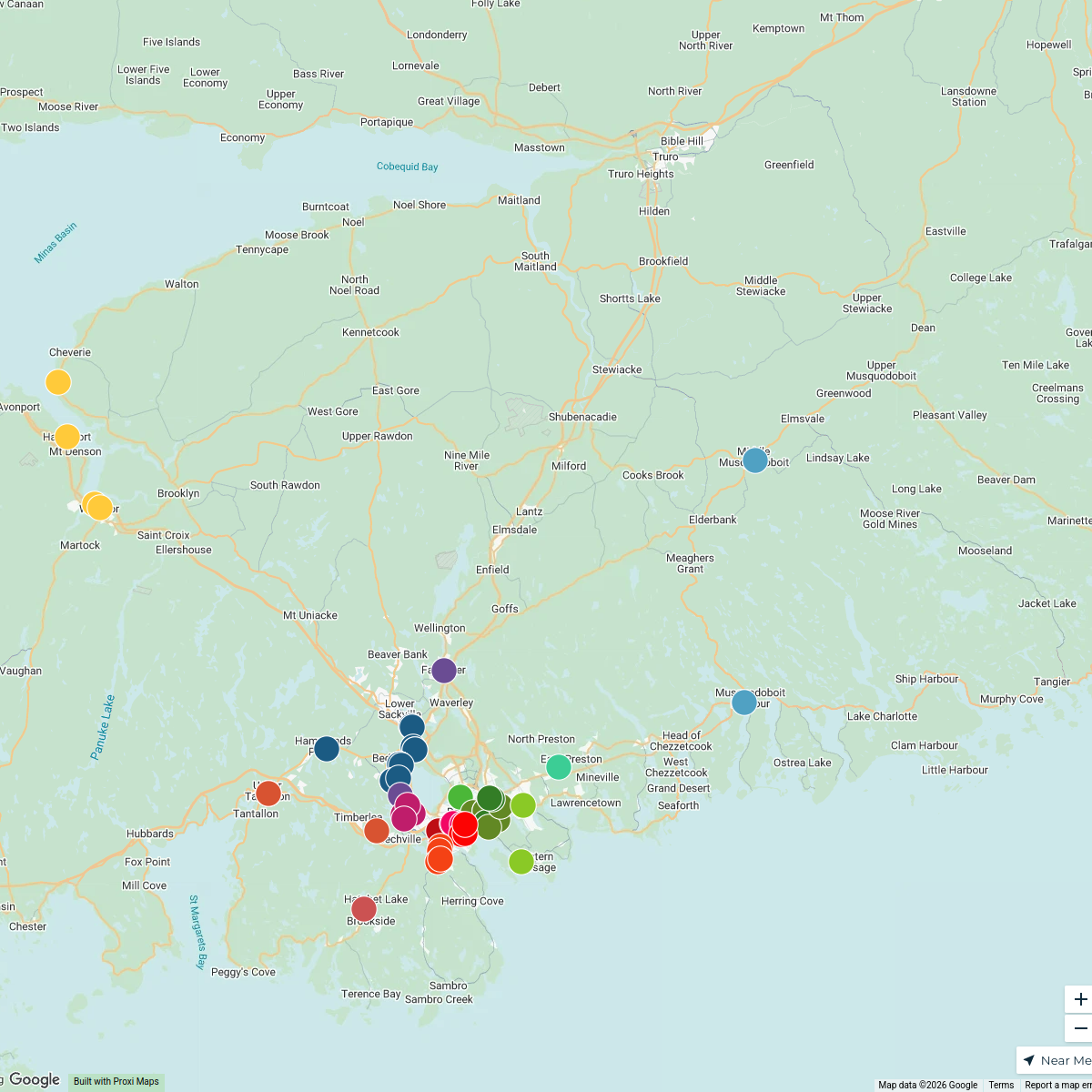
Halifax Medical Clinics
62 stops lisa.forrestall's Workspace
Wesco #WalktheBridge
62 stops · Toronto, ON, Canadaashleigh's WorkspaceMy Proxi Map
490 stops · Simcoe, Ontario, Canadareception's Workspace

This map was made with Proxi
Have a main street, a market, or a story worth walking? Make your own map in a few minutes.