
Map · 10 places
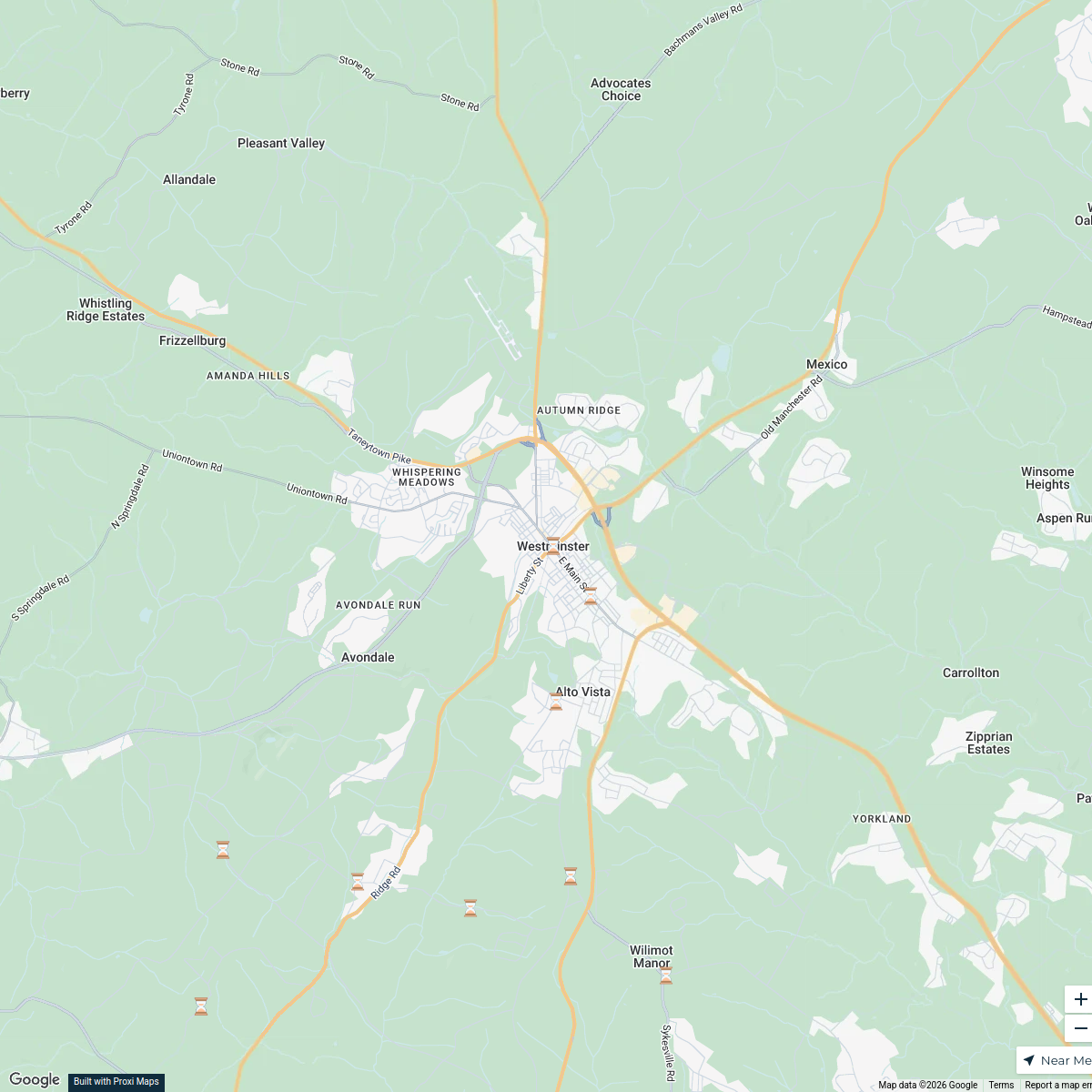
1899 Rural Mail Delivery Route - Westminster, MD
A historical map showcasing the rural mail delivery route as it existed in 1899 in Westminster, Carroll County, Maryland. This map highlights the specific paths and stops that were part of the early postal system, revealing how mail was distributed in rural areas over a century ago.
Made by Mona Kerby's WorkspaceUpdated Jan 2025
- Historical Routes 3
Places on This Map
10 places · 1 groupNearby Maps
1899 Postal Route in Westminster, MD
22 stops · Westminster, MD, USA Mona Kerby's Workspace
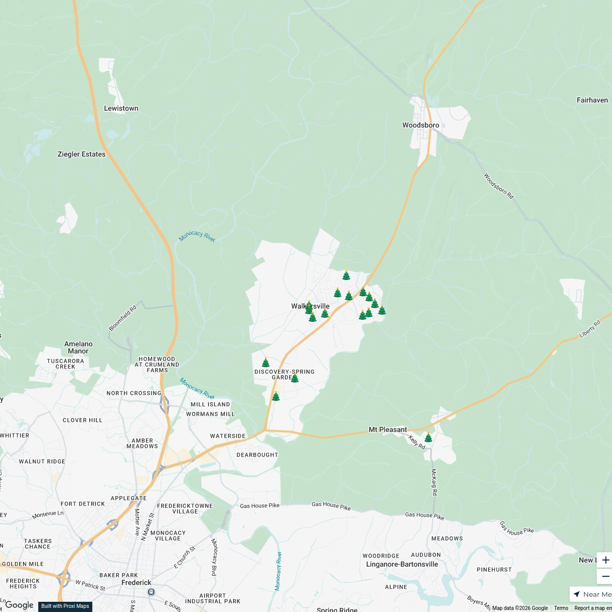
Beth Ohler Group
17 stops · Walkersville, MD 21793, USABeth Ohler Group Holiday Glow OffNew Oxford Treat Map
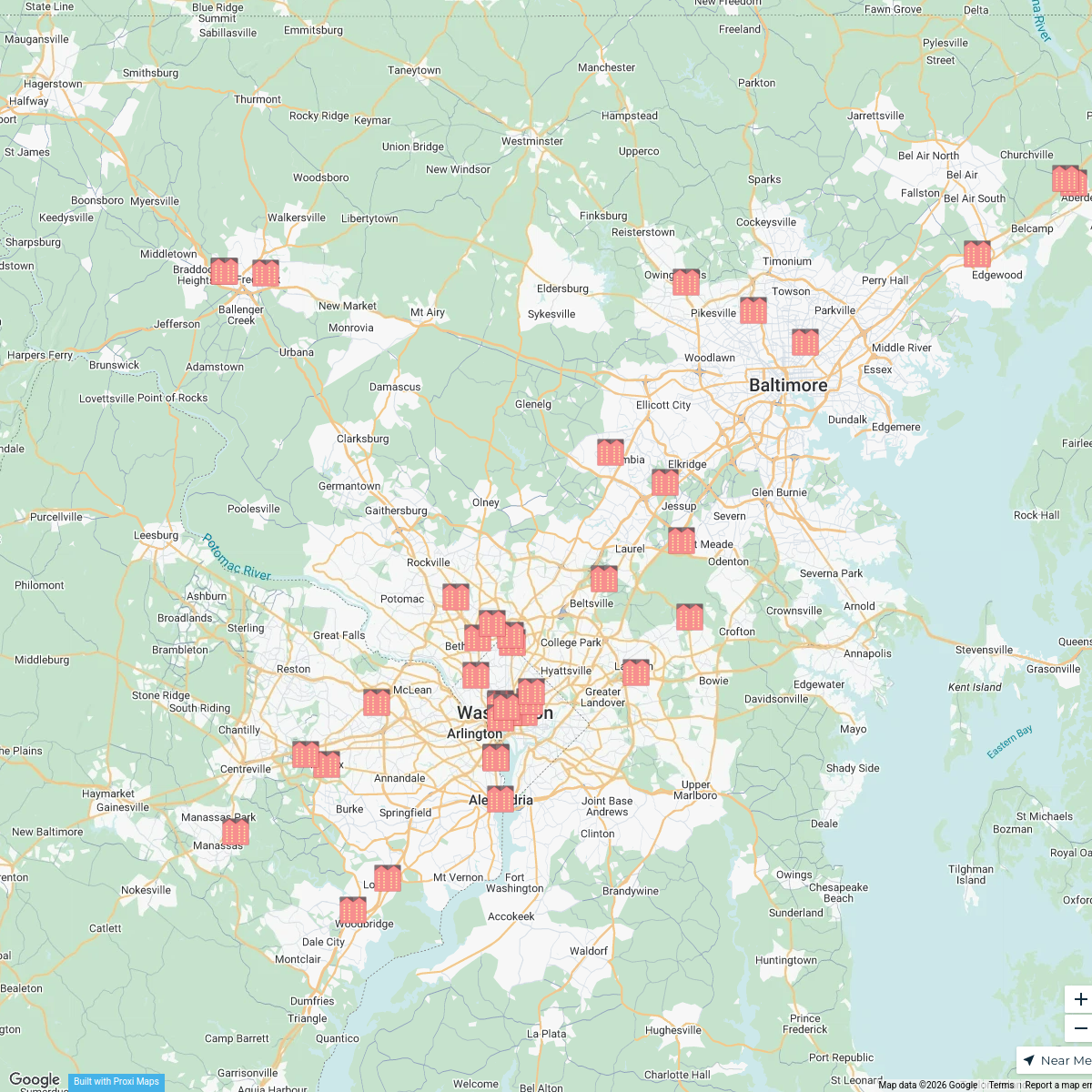
55 stops · New Oxford, PA, USAL. R. Koschoreck's WorkspaceRMS - Developments and Renos
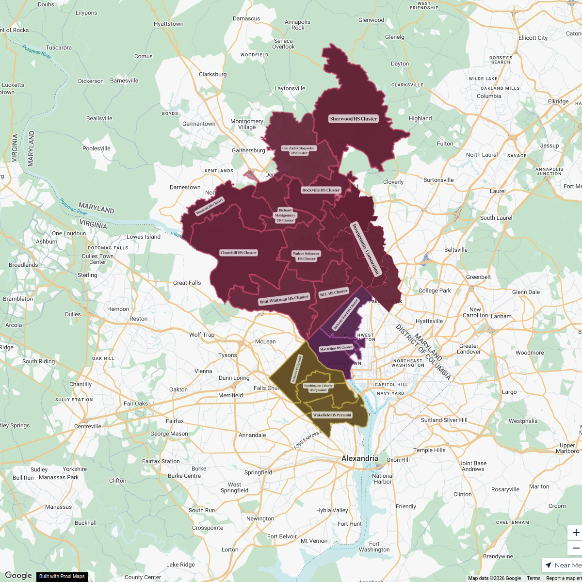
71 stopssteve's WorkspaceSchools | DC Metro School Boundaries Map
21 stops Irina Norrell's Workspace
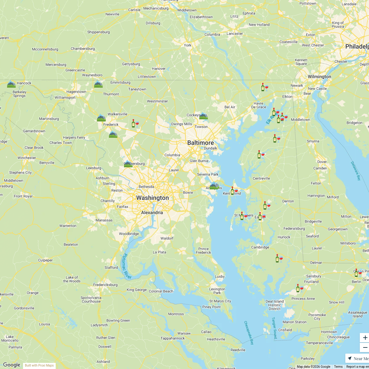
Chesapeake Wine Trail
23 stops AfroLuxe Guides

This map was made with Proxi
Have a main street, a market, or a story worth walking? Make your own map in a few minutes.