
Map · 8 places
Cambridge Local Government Boundaries and Population
A detailed map showcasing the population distribution and local government boundaries within Cambridge, UK. This resource highlights key administrative areas and their demographics to assist in local governance, planning, and community engagement.
Made with ProxiUpdated Jan 2025
- Local Government Areas 4
- Administrative Boundaries 3
Places on This Map
8 places · 2 groupsNearby Maps
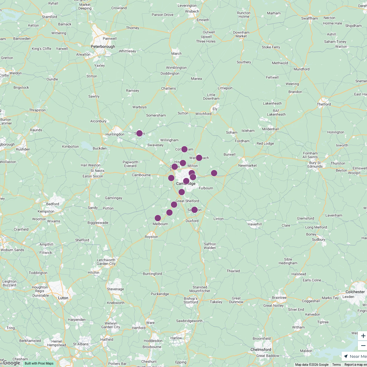
Cambridge Power Substations
15 stops · Cambridge, UK khandon545545's Workspace
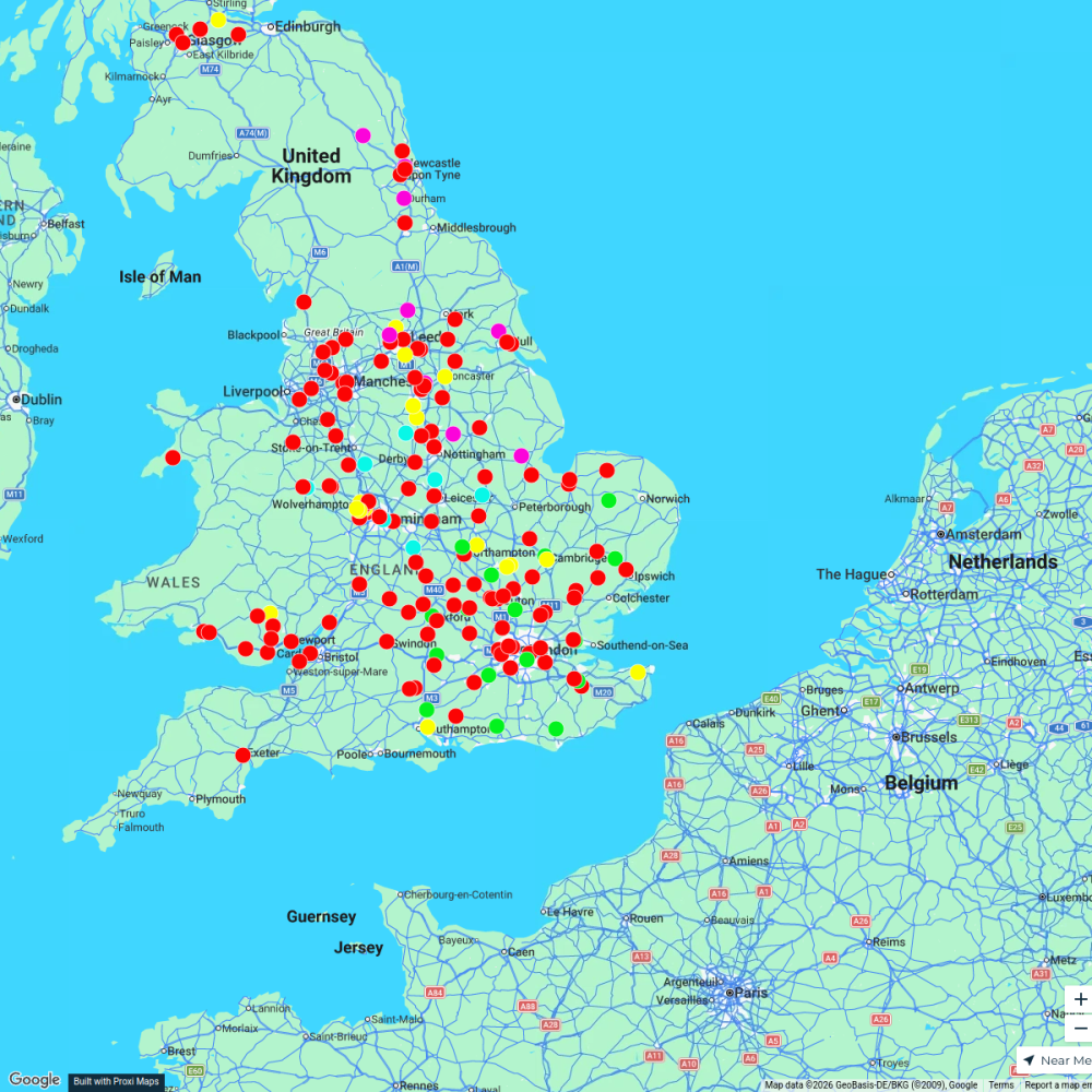
Flexi
188 stops p.grant's Workspace
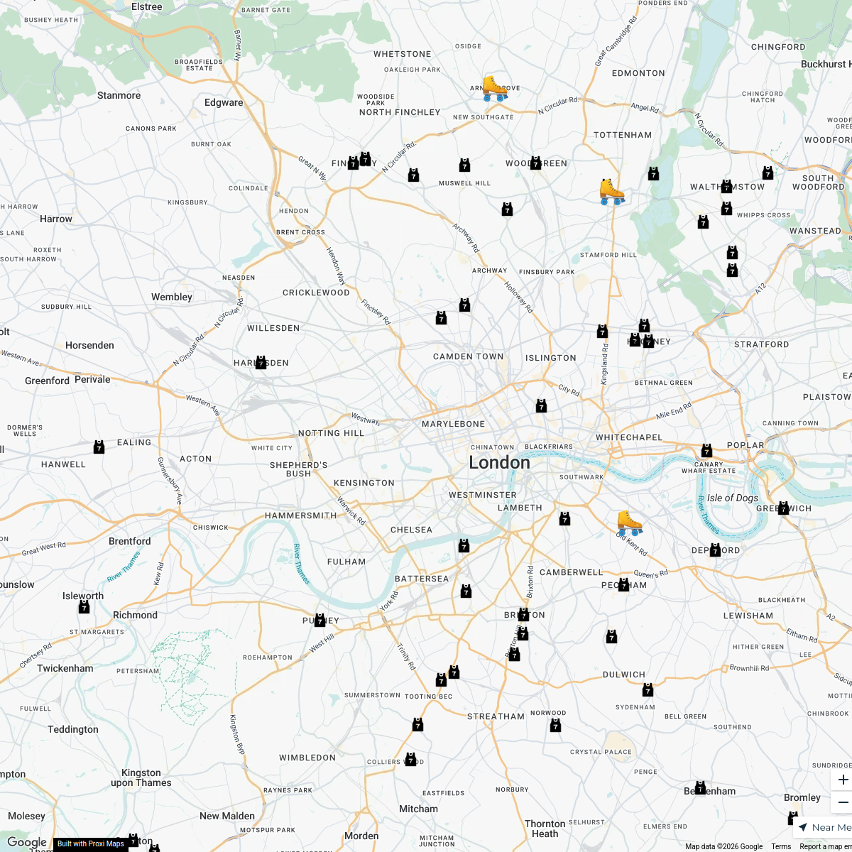
London Roller Derby
76 stopskatylw123's WorkspacePotential Customers in London, UK
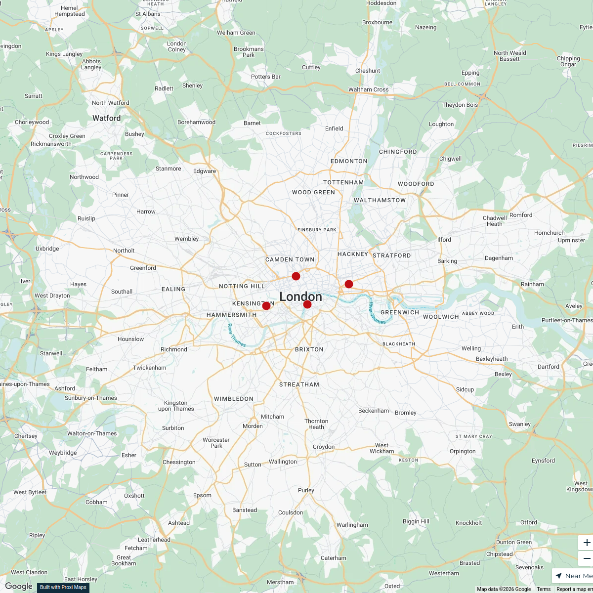
24 stops · London, Royaume-Univestibule-gigabit-0f's WorkspacePadel Courts in the UK
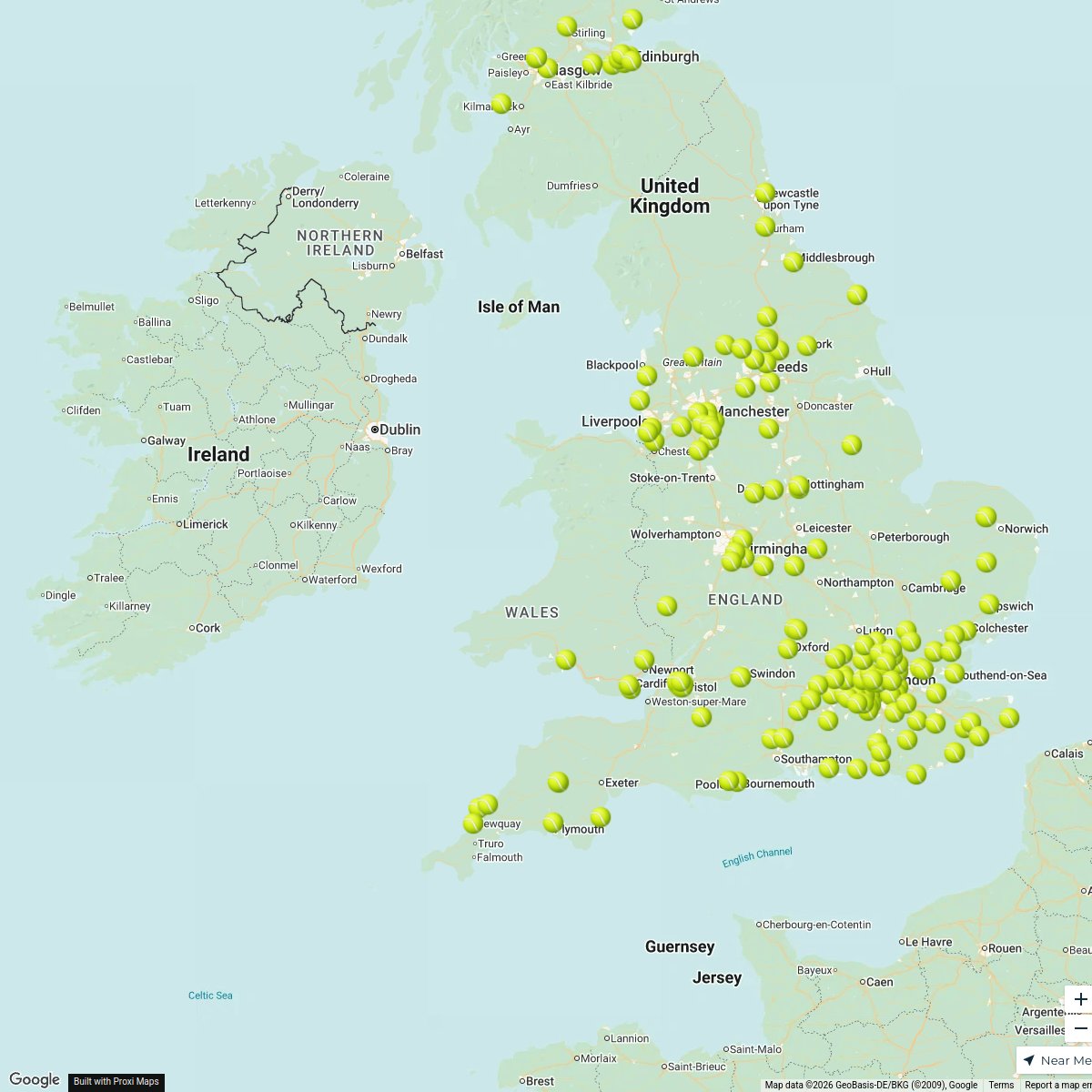
196 stopsDarren Lock's WorkspaceUnited Kingdom Overview Map
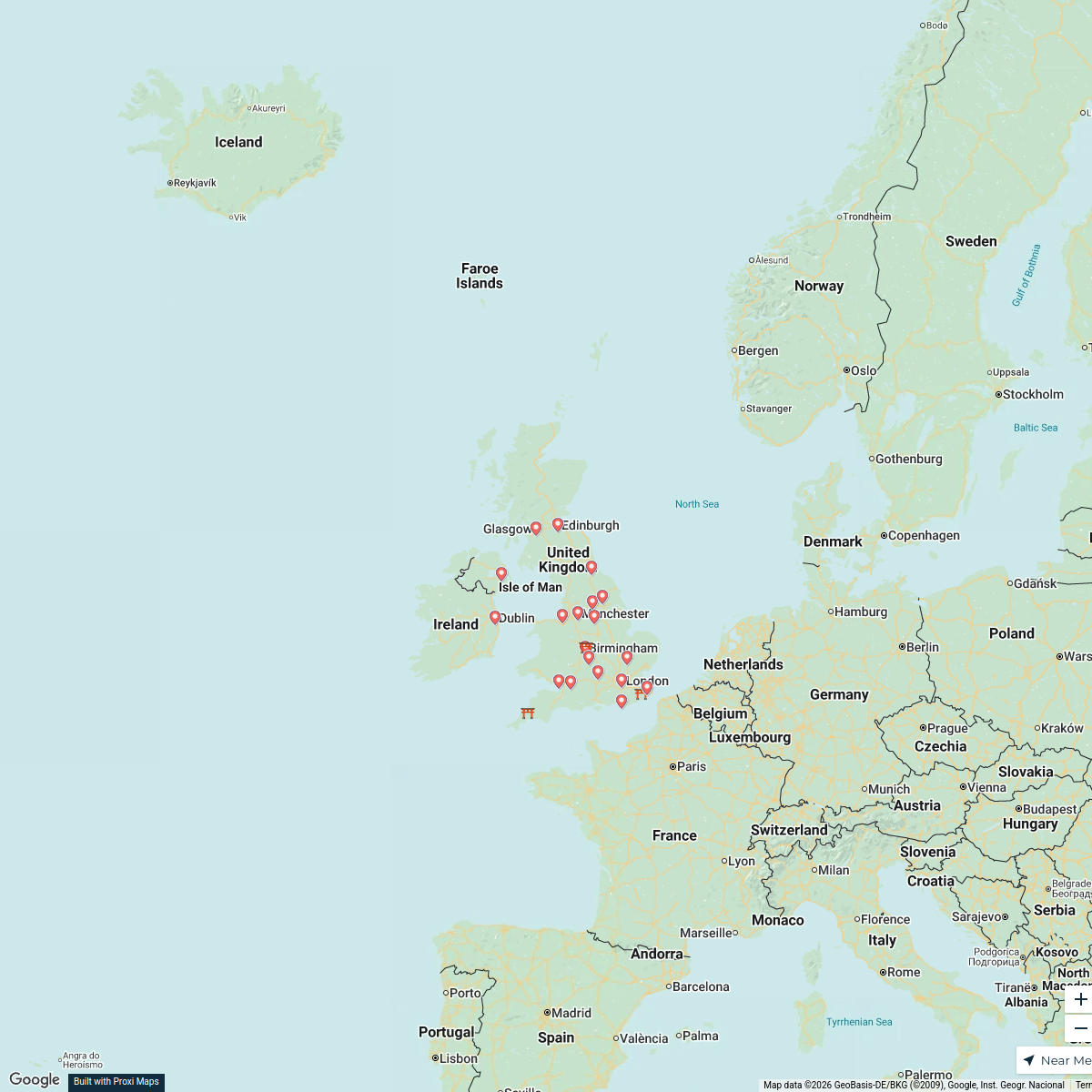
22 stops · United Kingdom, Verenigd KoninkrijkFemke De Bruin's Workspace
This map was made with Proxi
Have a main street, a market, or a story worth walking? Make your own map in a few minutes.