
Map · 10 places
Bangkok Transport Systems
A detailed map showcasing the various transport systems in Bangkok, Thailand, including BTS Skytrain routes, MRT subway lines, bus services, ferry routes, and taxi zones. This map aims to help locals and tourists navigate the city efficiently using public transportation options.
Made by Paul Robert Wilden's WorkspaceUpdated Jan 2025
- MRT Subway 3
- Airport 2
- Boat Pier 2
- Train Station 2
- BTS Skytrain 1
Places on This Map
10 places · 5 groupsNearby Maps
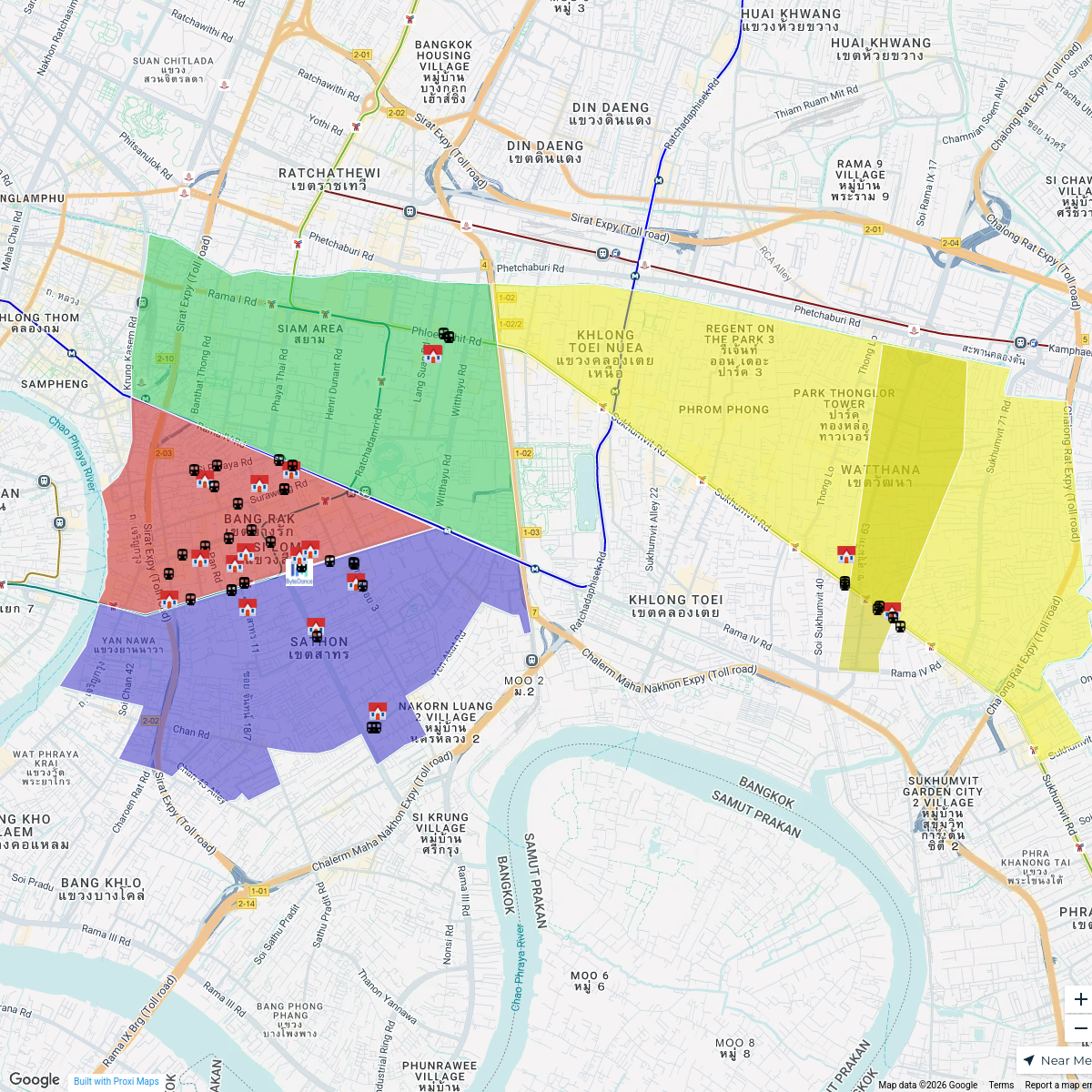
ByteDance Properties in Bangkok
60 stops swing.goh's Workspace
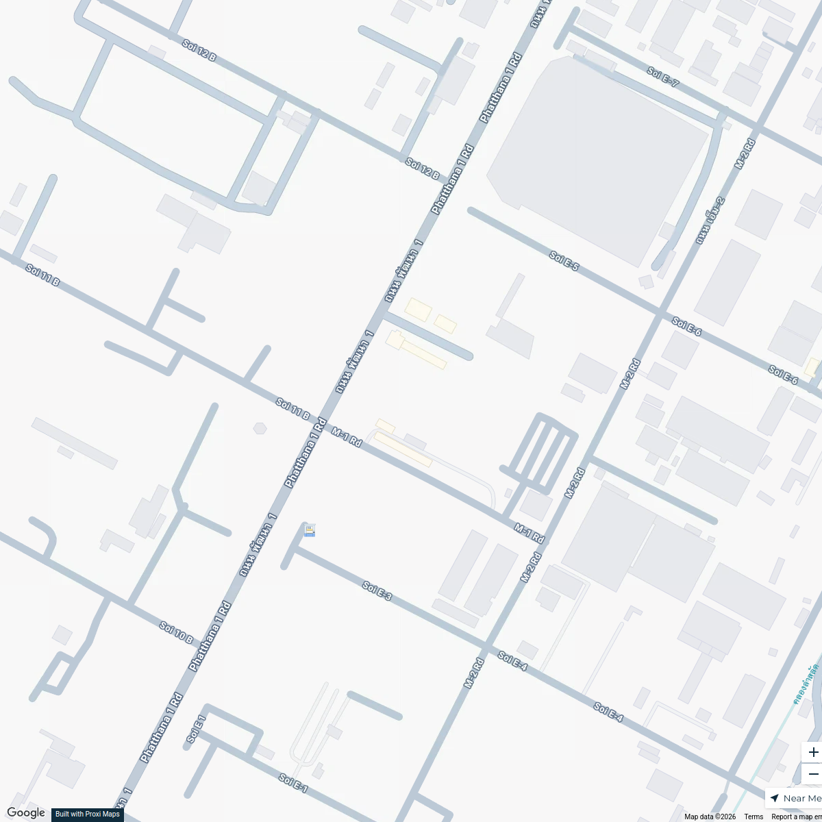
นิคมอุตสาหกรรมบางปู Map
1 stop · นิคมอุตสาหกรรมบางปู, หมู่ที่ 4 Sukhumvit Rd, Tambon Phraeksa, Amphoe Mueang Samu Murakami Map
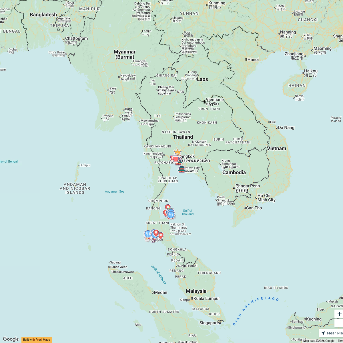
Historical Sites in Thailand
123 stopsDaniel Dukarev's WorkspaceHua Hin and Bangkok, Thailand
52 stops · Hua Hin, Hua Hin District, Prachuap Khiri Khan, Thailand Lea Di Giovanni · @leastraveldiaries
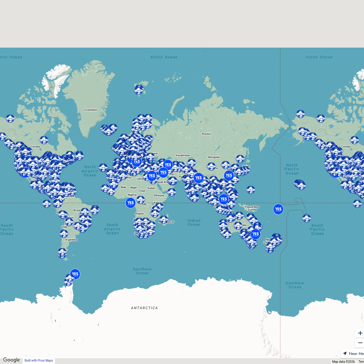
Seek Discomfort Adventure Map
974 stops Seek Discomfort's Adventure Map
Sydney Explorer
127 stops · Sydney NSW, Australiabhidetejas03's Workspace

This map was made with Proxi
Have a main street, a market, or a story worth walking? Make your own map in a few minutes.