
Map · 11 places
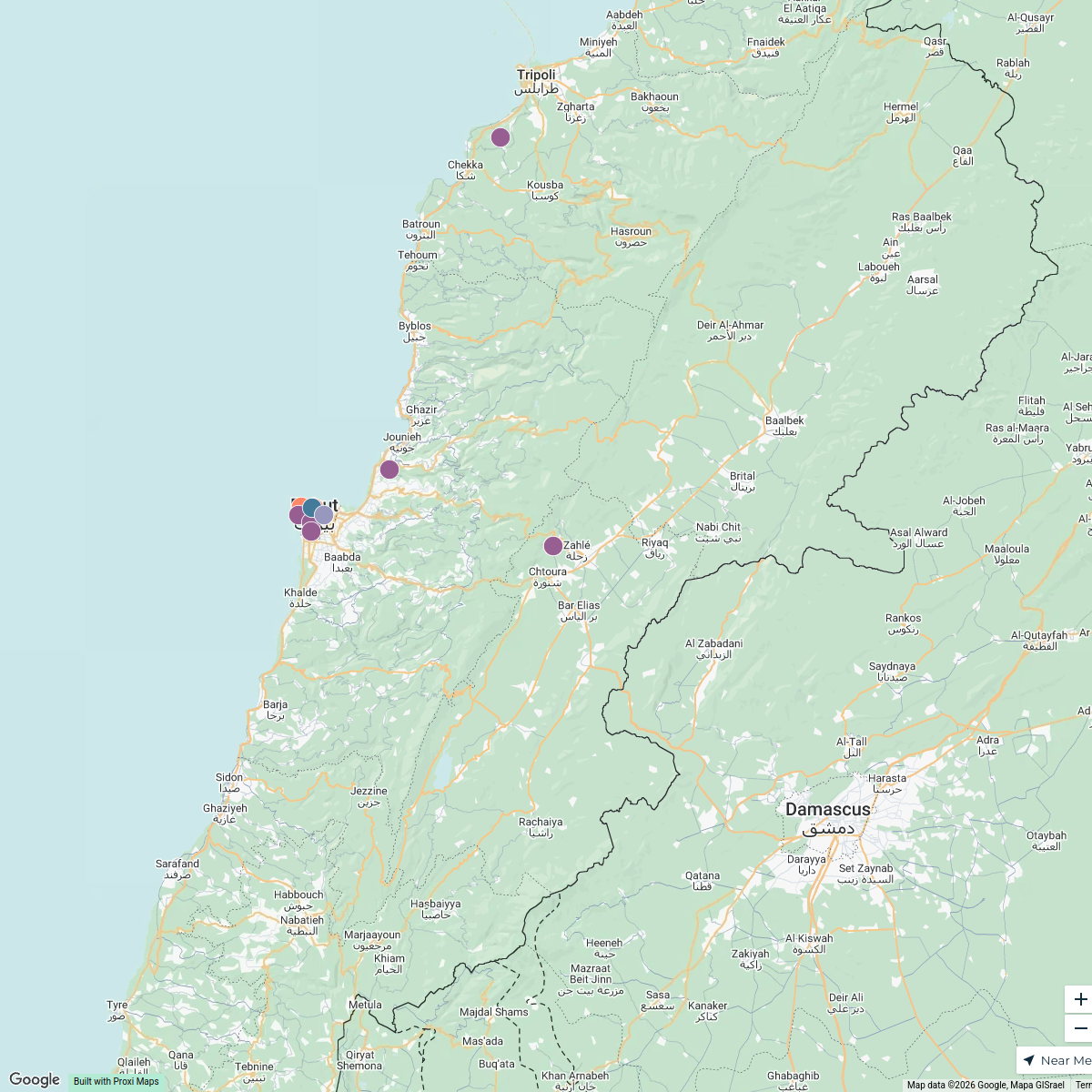
Accessibility Map of Ehden, Lebanon
This map highlights accessible routes, facilities, and areas in Ehden, Lebanon, focusing on the accessibility features for individuals with mobility challenges. It provides vital information about public transport, parking, and accessible buildings, making it easier for residents and visitors to navigate the town.
Made with ProxiUpdated Jan 2025
- Local Attractions 6
- Parking Locations 4
- Public Transportation 1
Places on This Map
11 places · 3 groupsNearby Maps
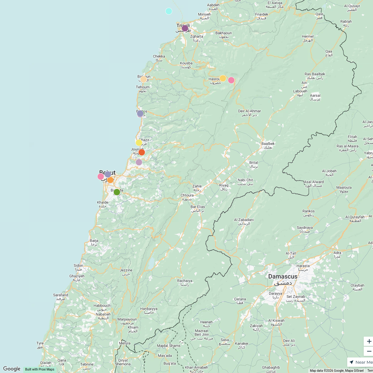
Lebanon University Vibes Map
13 stops · Lebanon hammoudmira233's Workspace
One Day in Lebanon
15 stops · Lebanonhammoudmira233's WorkspaceLebanon Operations Map
16 stops · Lebanon Milena Paglia's Workspace
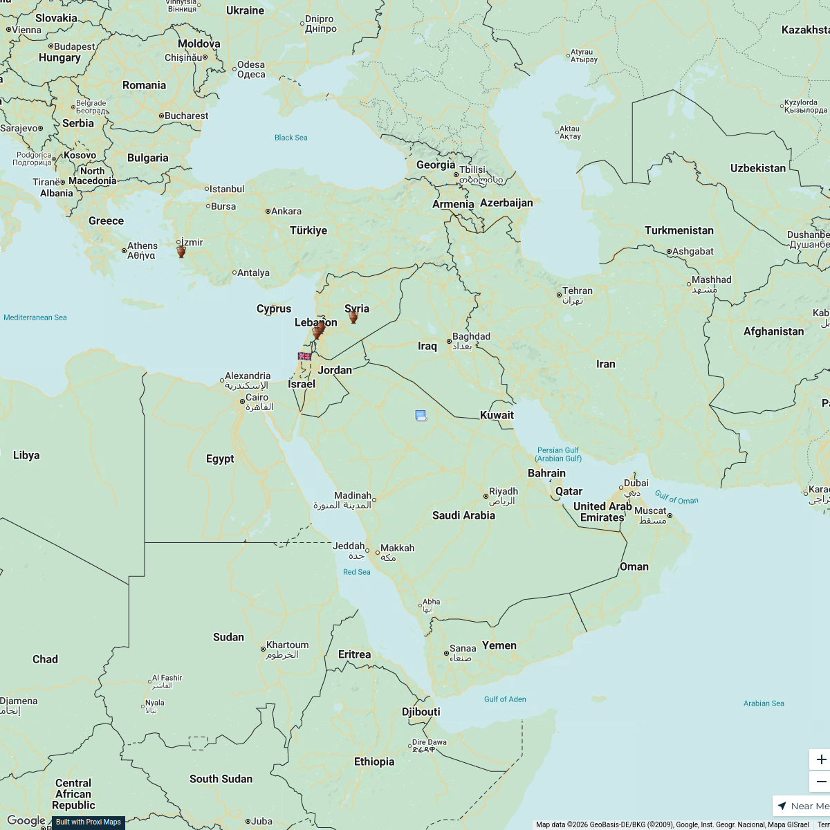
Battles of Alexander the Great
8 stops · Middle East, Μέση Ανατολή Nikos Bitsakos's Workspace
Community Map
Ehden Accessibility Map
2 stops · Ehden, LebanonShared by the Proxi communityCommunity Map
Tannourine El Tahta Exploration
15 stops · Tannourine El Tahta, LebanonShared by the Proxi community

This map was made with Proxi
Have a main street, a market, or a story worth walking? Make your own map in a few minutes.