
Map · 14 places
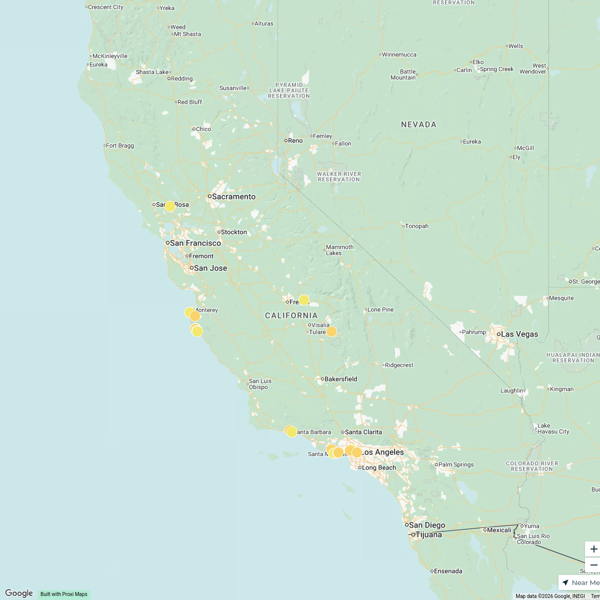
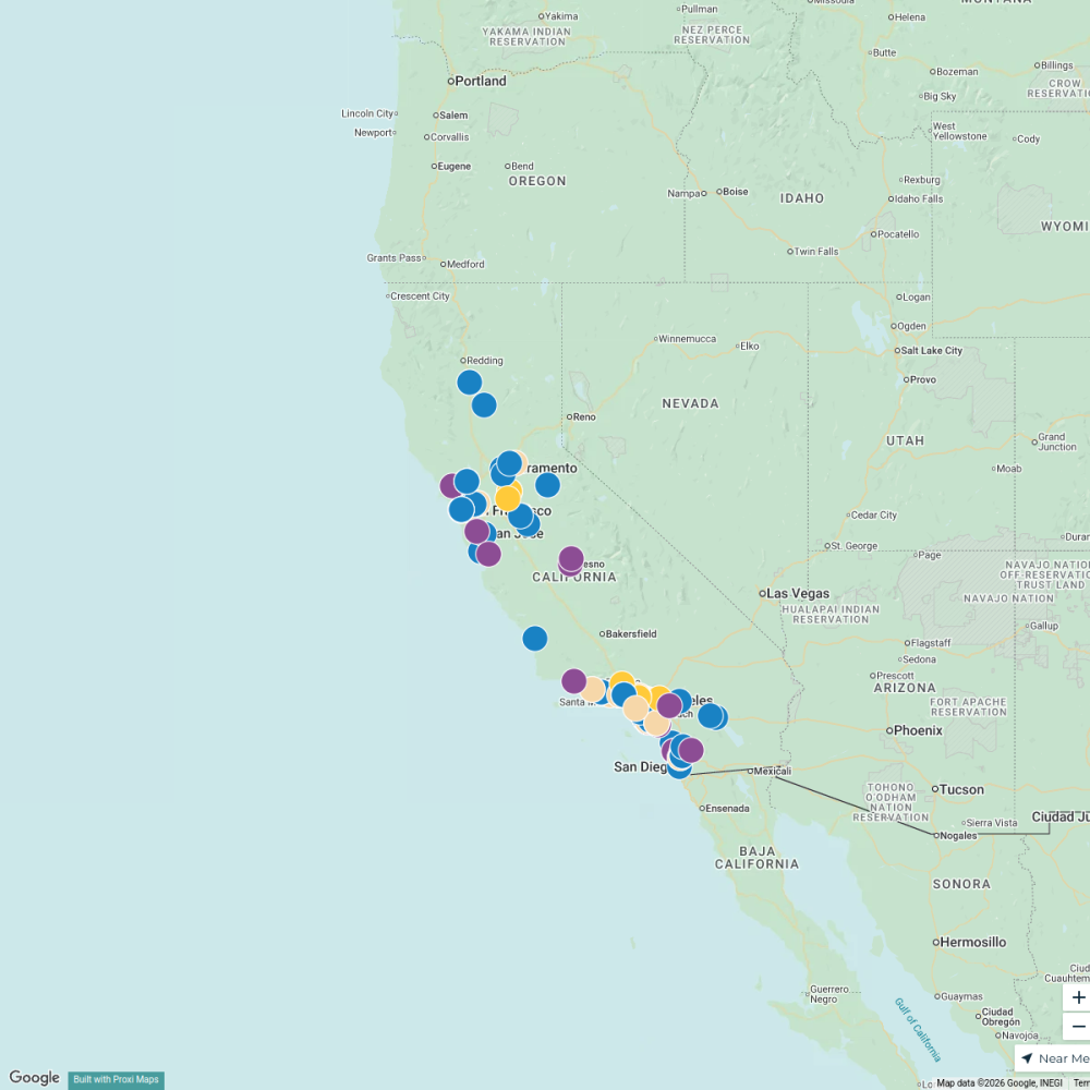
California Wildfires 2006
A detailed map showcasing the locations and impact of wildfires that occurred in California during the year 2006. This map highlights the affected areas, noting the scale and intensity of the wildfires along with key statistics and information related to the events.
Made with ProxiUpdated Jan 2025
- Emergency Response 7
- California History 4
- Wildfires 2
- Natural Disasters 1
Places on This Map
14 places · 4 groupsNearby Maps
California Attractions
30 stops · California, USA Allison Angelidis's Workspace
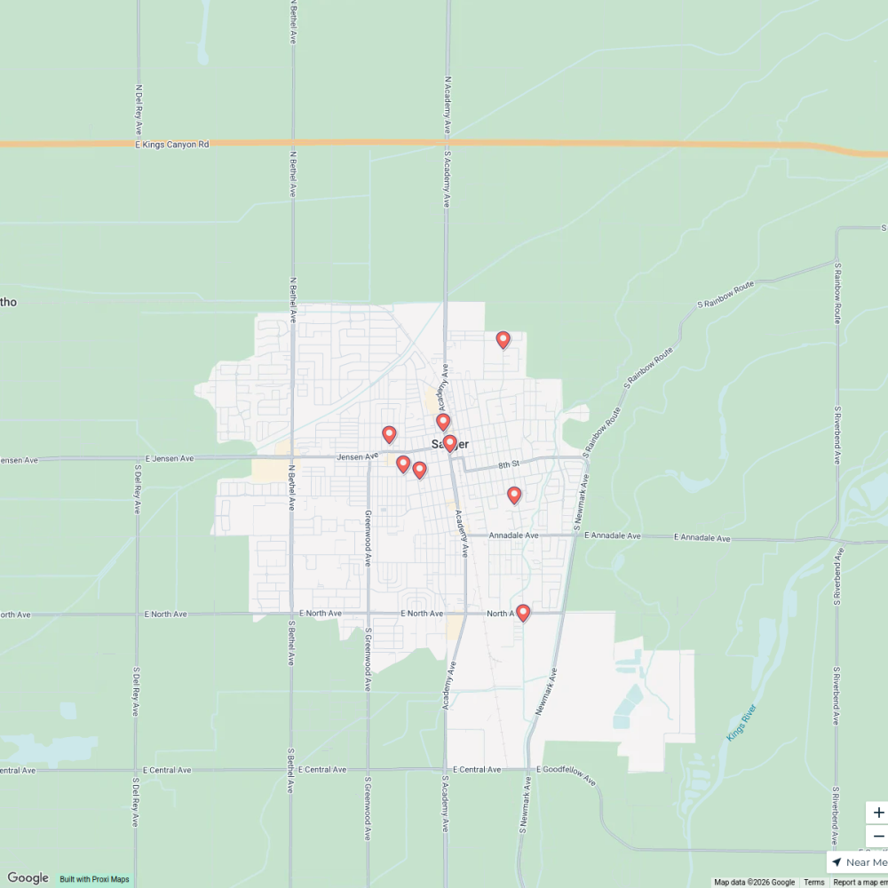
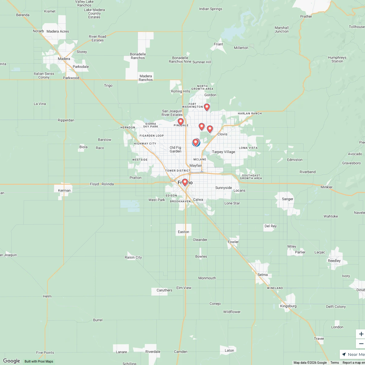
Home Care in Sanger, CA
10 stops · Sanger, CA 93657, USA Andy Howard's Workspace
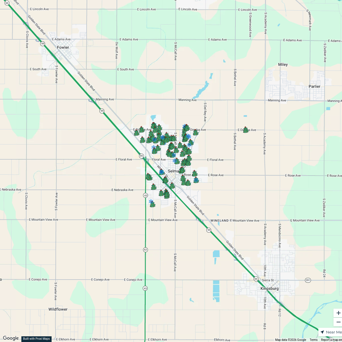
Selma Christmas Lights 2025
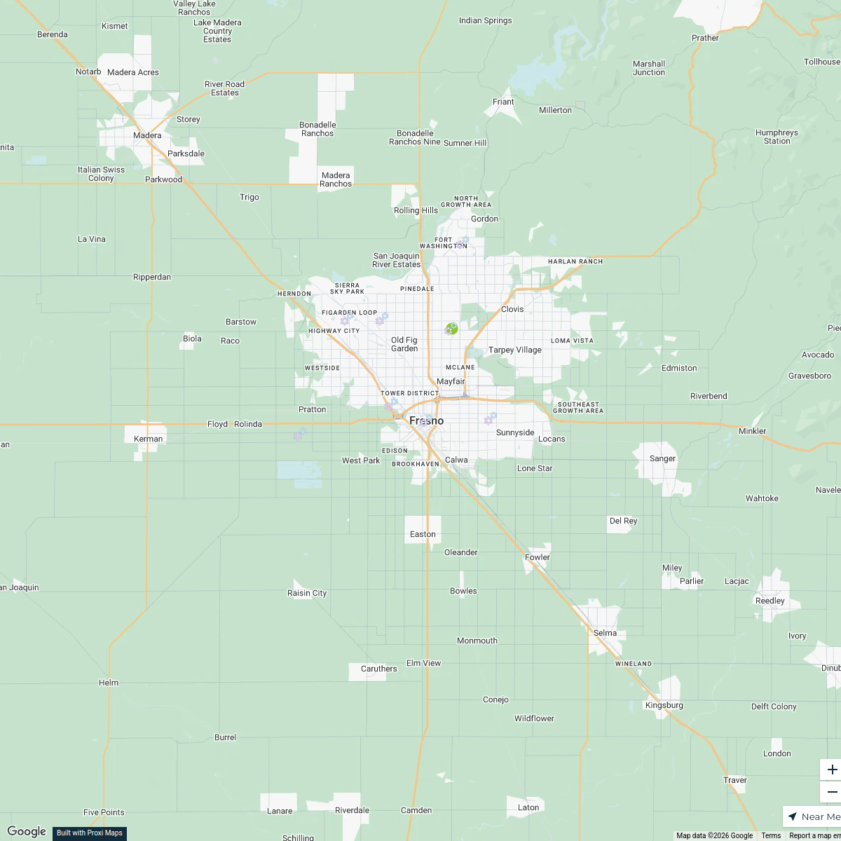
93 stops · Selma, CA, USAsalaz777's WorkspaceHome Care Services in Fresno, CA
9 stops · Fresno, CA, USAAndy Howard's WorkspaceHome Care in Fresno, CA
8 stops · Fresno, CA, USAAndy Howard's WorkspaceCalifornia Physician-ledDPC Clinics
119 stops My DPC Story (My DPC Story)'s Workspace
This map was made with Proxi
Have a main street, a market, or a story worth walking? Make your own map in a few minutes.