
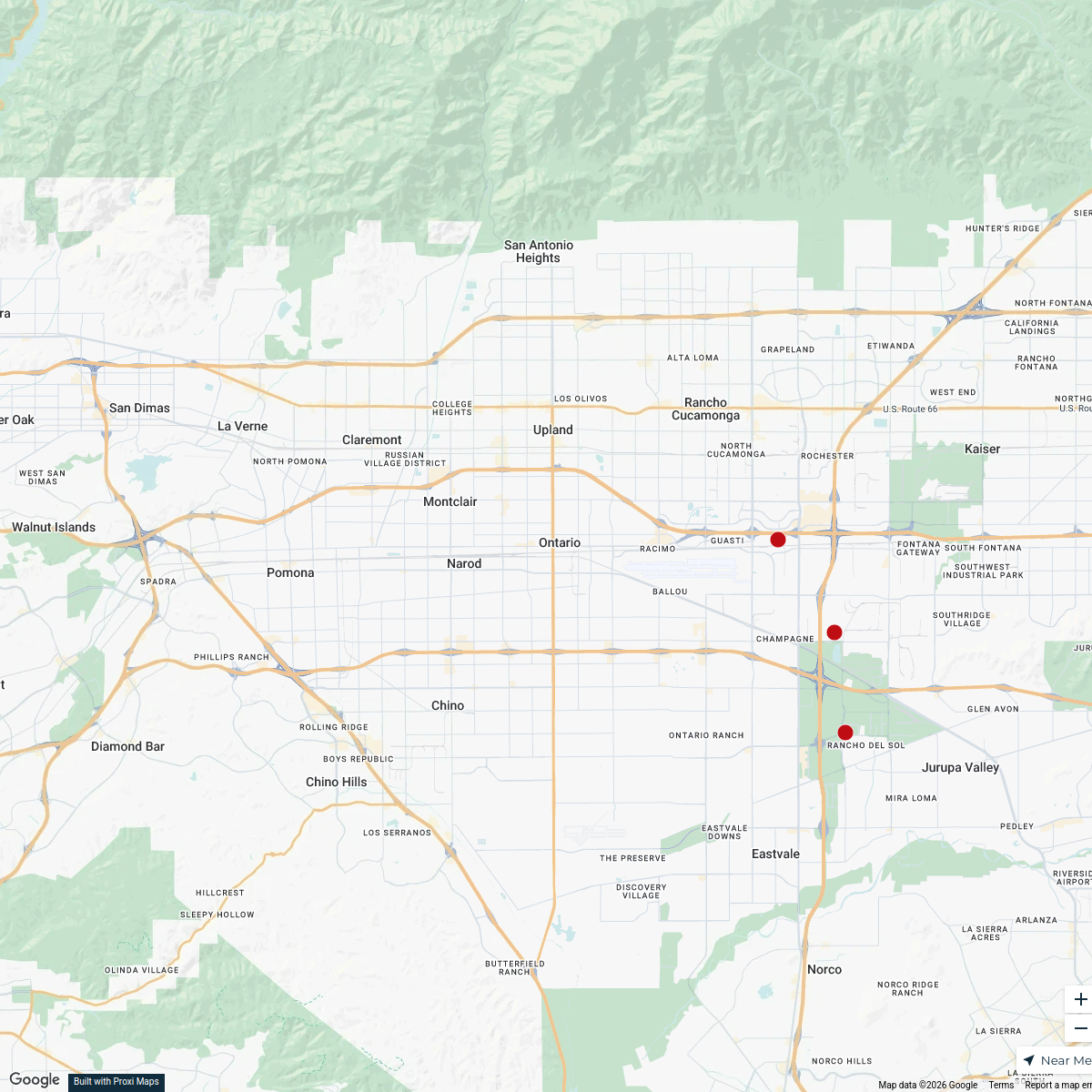
Map · 7 places
Summit Intermediate School Evacuation Plan
A comprehensive evacuation plan for Summit Intermediate School, outlining safe exit routes, assembly points, and emergency services contacts in case of an emergency.
Made with ProxiUpdated Jan 2025
- Emergency Contact Info 2
- Evacuation Routes 2
- Safety Equipment Locations 2
- Bus loading assignments 1
Places on This Map
7 places · 4 groupsNearby Maps
Ontario Office Buildings Map
12 stops · Ontario, CA, USA dhuffman's Workspace

Romantic Valentine's Day Date Ideas near Riverside
8 stops · Riverside, CA, USA Chelsey's Proxi Workspace
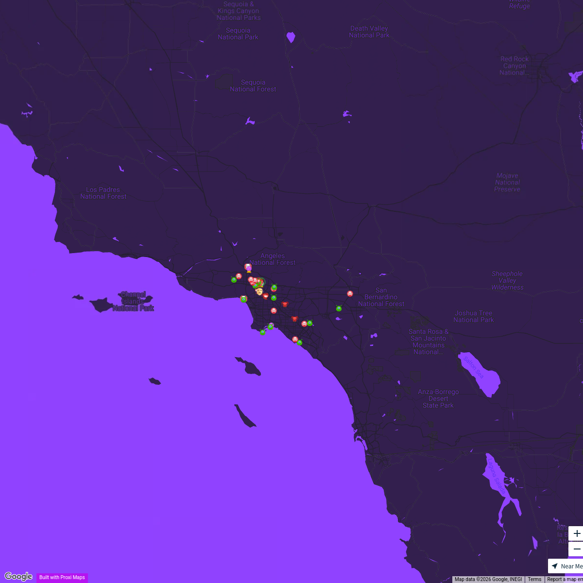
Spooky Events & Shopping
185 stops holidaysinburbankmap's Workspace
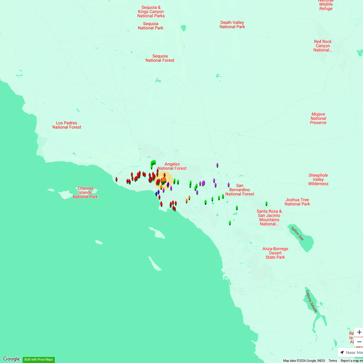
Holidays in SoCal Lights Map
156 stopsholidaysinburbankmap's WorkspaceFall + Halloween Map, Los Angeles Area
18 stops · Los Angeles, CA, USAChelsey's Proxi WorkspaceSouthern California Colleges Map
20 stops · Southern California, CA, USATrista Beard's Workspace


This map was made with Proxi
Have a main street, a market, or a story worth walking? Make your own map in a few minutes.