
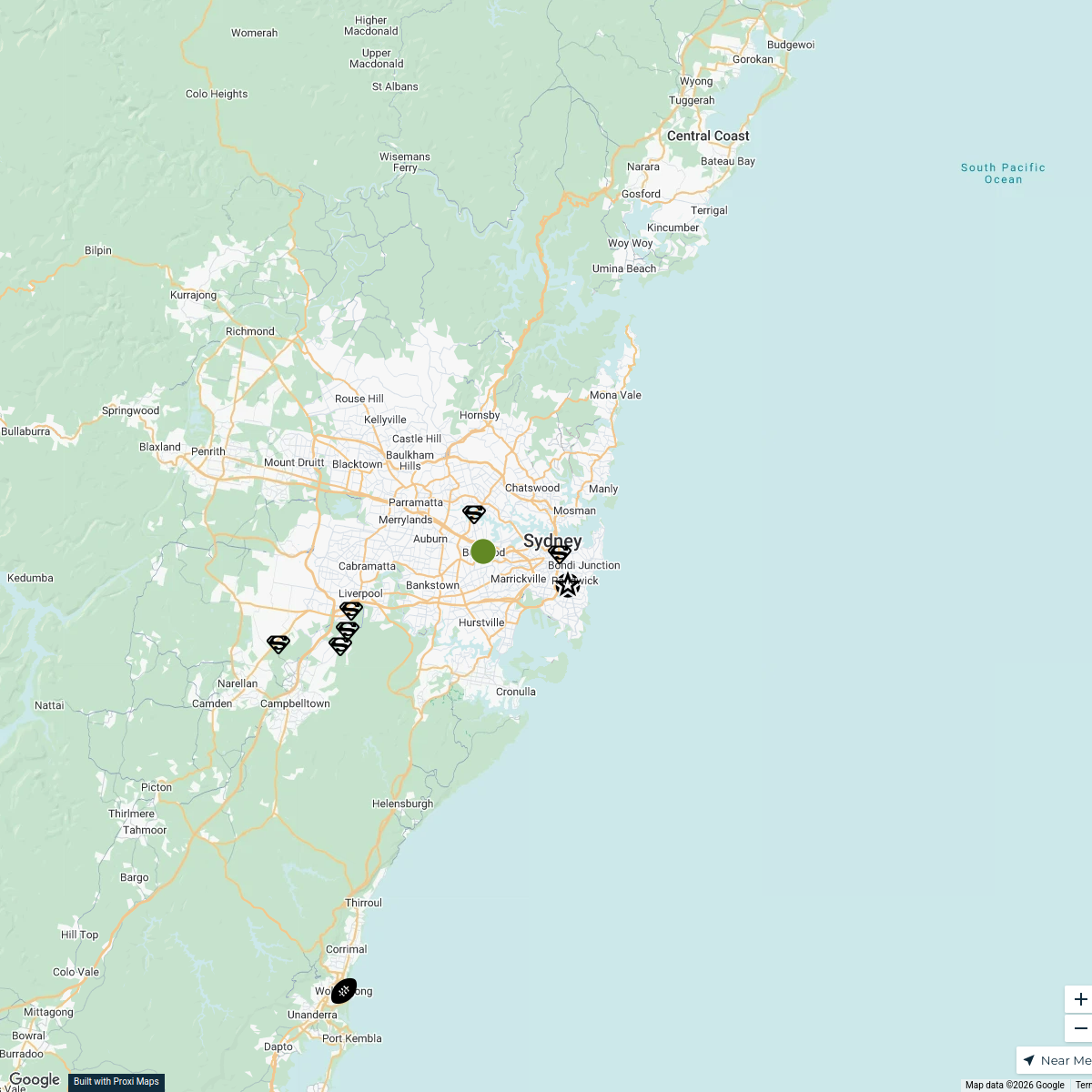
Map · 9 places
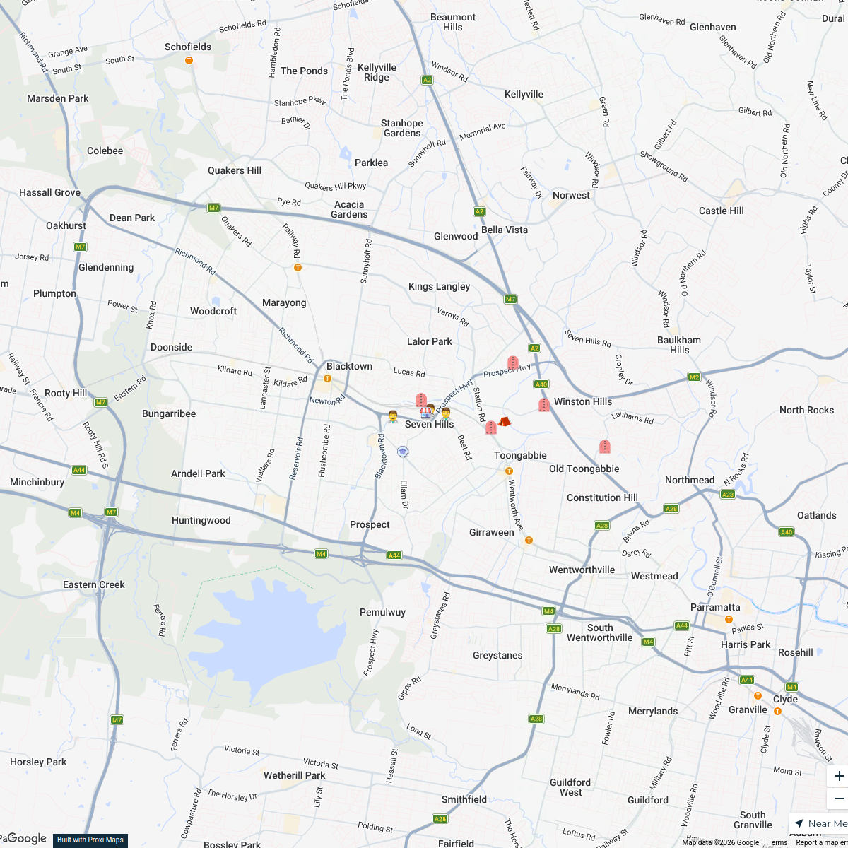
Scenario 1 - Interchange Closed
A detailed map focusing on the Parramatta region, showcasing key locations, transportation routes, and points of interest in Parramatta, NSW.
Made with ProxiUpdated Jan 2025
- Public Transport 8
- Shopping Areas 1
Places on This Map
9 places · 2 groupsNearby Maps
Seven Hills Liveability
14 stops · Seven Hills, Seven Hills NSW 2147, Australia Bdojf
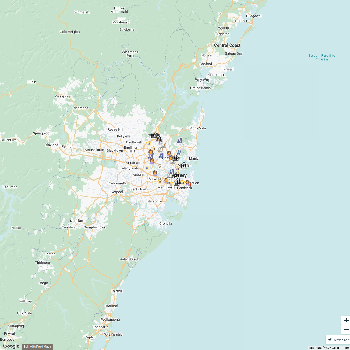
Hair Botox Sydney
36 stops · Macquarie Park, Macquarie Park NSW 2113, Australia bethalmoore's Workspace
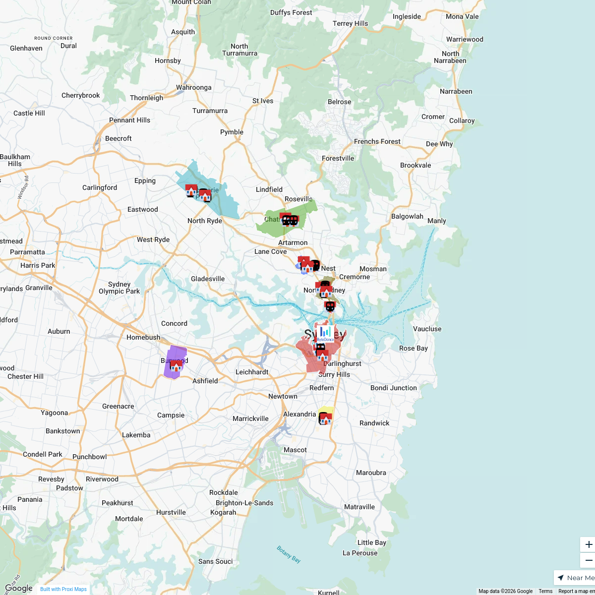
ByteDance Properties in Sydney
68 stopsswing.goh's WorkspaceNanoplasty Treatment Sydney
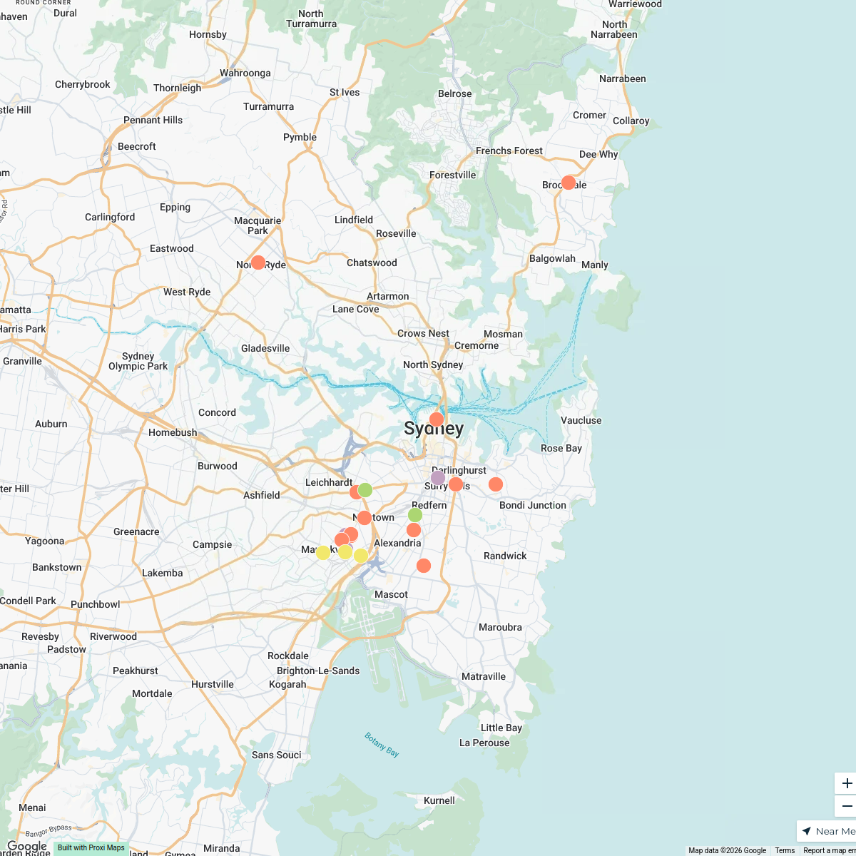
34 stops · Sydney, Sydney NSW, Australiabethalmoore's WorkspaceSydney Breweries Tour
25 stops · Sydney NSW, AustraliaSALTEE teamSydney Explorer
127 stops · Sydney NSW, Australiabhidetejas03's Workspace

This map was made with Proxi
Have a main street, a market, or a story worth walking? Make your own map in a few minutes.